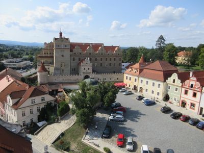
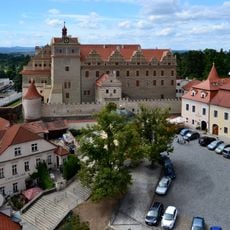
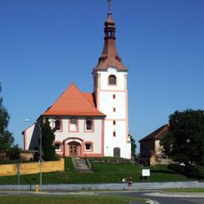
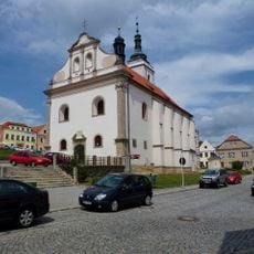
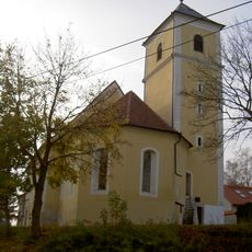
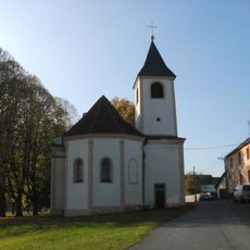
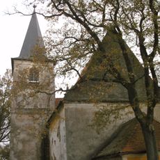
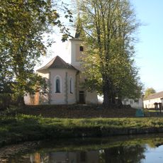
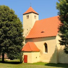
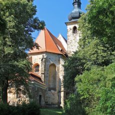
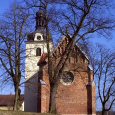
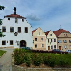
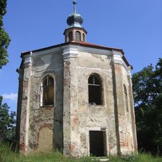
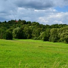
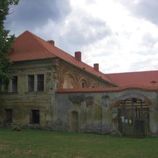
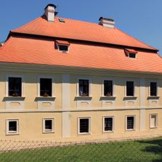
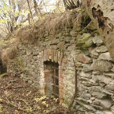
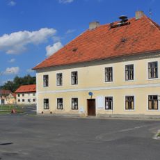
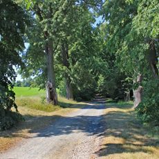
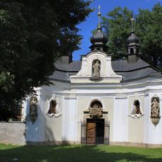
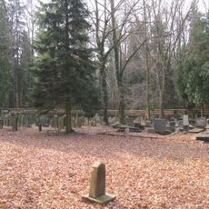
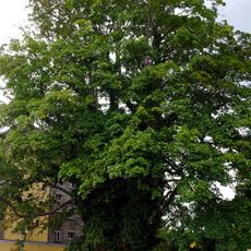
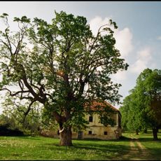
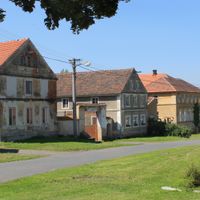
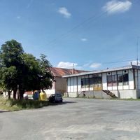
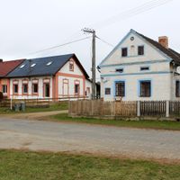
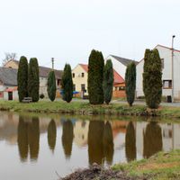
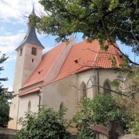
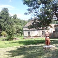
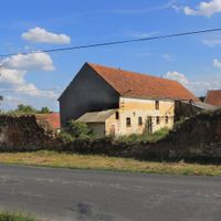
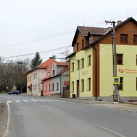
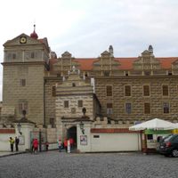
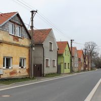
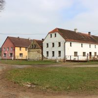
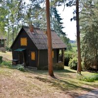
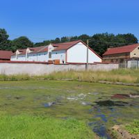
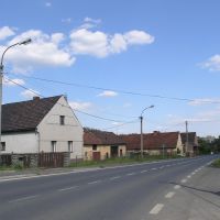
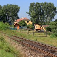
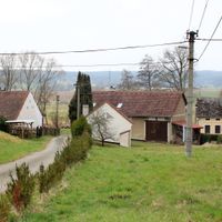
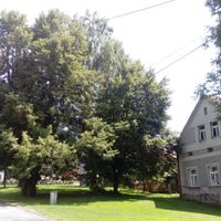
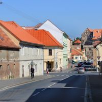
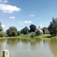
Horšovský Týn, commune tchèque
Emplacement : Domažlice District
Emplacement : správní obvod obce s rozšířenou působností Horšovský Týn
Altitude : 376 m
Partage une frontière avec : Hostouň, Srby, Vidice, Mířkov, Křenovy, Semněvice, Puclice, Osvračín, Meclov, Bukovec, Blížejov
E-mail : podatelna@muht.cz
Site web : http://horsovskytyn.cz
Coordonnées GPS : 49.52976,12.94409
Dernière mise à jour : 7 avril 2025 à 09:00
Horšovský Týn Castle
133 m
Church of Saint Martin
4.7 km
Church of Saints Peter and Paul
13 m
Church of Saint Apollinaris
414 m
Church of Saint Michael
5.3 km
Church of Saint Vitus
8.1 km
Church of Saint Lawrence
9.6 km
Church of Saint Wenceslaus
7.1 km
Church of the Assumption of the Virgin Mary
7.3 km
Church of Saint Anne
1.9 km
Saint Nicholas church
8.4 km
Šibeniční vrch (rozhledna)
1.5 km
Town hall in Horšovský Týn
65 m
Chotiměř
6.2 km
All Saints church
2.2 km
Church of Saints Vitus, Wenceslaus and Adalbert
239 m
Loreto chapel (Horšovský Týn)
625 m
Tasnovice
9.6 km
Čečovice (castle)
8.3 km
Castello di Bukovec
7.3 km
Castle Tasnovice
8.9 km
Blížejov (castle)
4.7 km
Alej ke sv. Anně
1.8 km
Stations of the Cross in Horšovský Týn
1.9 km
Chapel of Saint John of Nepomuk
6.3 km
Jewish cemetery in Puclice
5.1 km
Javor pod zámkem
196 m
Javor u Vdovského domu
164 mVous avez visité ce lieu ? Touchez les étoiles pour le noter et partager votre expérience ou vos photos avec la communauté ! Essayez maintenant ! Vous pouvez annuler à tout moment.
Trouvez des trésors cachés à chaque coin de rue !
Des petits cafés pittoresques aux points de vue planqués, fuyez la foule et dénichez les lieux qui vous ressemblent vraiment. Notre app vous facilite la vie : recherche vocale, filtres malins, itinéraires optimisés et bons plans partagés par des voyageurs du monde entier. Téléchargez vite pour vivre l'aventure en version mobile !
Une approche inédite de la découverte touristique❞
— Le Figaro
Tous les lieux qui valent la peine d'être explorés❞
— France Info
Une excursion sur mesure en quelques clics❞
— 20 Minutes