Ring
Emplacement : Ashford
Coordonnées GPS : 51.22136,0.90905
Dernière mise à jour : 30 octobre 2025 à 13:41
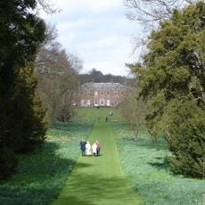
Godmersham Park
2.8 km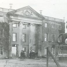
Olantigh
3.7 km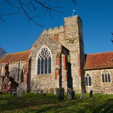
All Saints’ Church, Boughton Aluph
2.8 km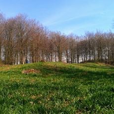
Jacket's Field Long Barrow
1.3 km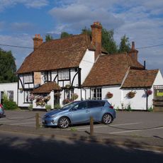
George Inn
1 km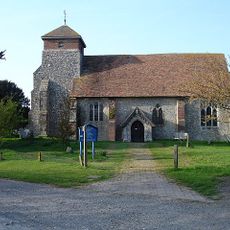
Church of St Peter
1.5 km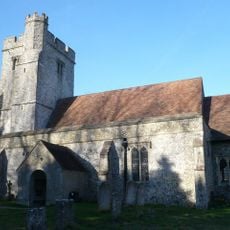
Church of St Cosmas and St Damian
2.7 km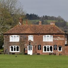
Flying Horse Inn
3.7 km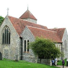
Church of St Lawrence
3 km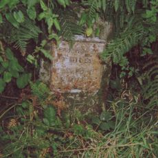
Milestone
2 km
Hurst Farmhouse
3.5 km
Bowl barrow in King's Wood, Wye
829 m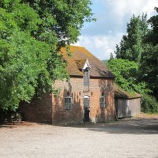
Stables 15 Yards North Of The Flying Horse Inn
3.7 km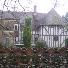
Great Bower Farmhouse
2 km
Milestone, Canterbury Road, opp. Church Road
3.4 km
Milestone, Canterbury Road, N of Boughton Corner
3 km
Milestone, Canterbury Road, Bilting, by The Parish Farmhouse
2.7 km
B52
1 km
Score for a Hole in The Ground
192 m
Walkway
503 m
Play Sculpture and Picnic Furniture
1.2 km
Coppice Cloud Chamber
84 m
The Last Eleven Years
578 m
Untitled Artwork
289 m
The Miracle of The Legs
183 m
Super Kingdom
400 m
Via Lucem Continues
543 m
Untitled Artwork
1.2 kmAvis
Vous avez visité ce lieu ? Touchez les étoiles pour le noter et partager votre expérience ou vos photos avec la communauté ! Essayez maintenant ! Vous pouvez annuler à tout moment.
Trouvez des trésors cachés à chaque coin de rue !
Des petits cafés pittoresques aux points de vue planqués, fuyez la foule et dénichez les lieux qui vous ressemblent vraiment. Notre app vous facilite la vie : recherche vocale, filtres malins, itinéraires optimisés et bons plans partagés par des voyageurs du monde entier. Téléchargez vite pour vivre l'aventure en version mobile !

Une approche inédite de la découverte touristique❞
— Le Figaro
Tous les lieux qui valent la peine d'être explorés❞
— France Info
Une excursion sur mesure en quelques clics❞
— 20 Minutes