
Emplacement : Olongapo
Coordonnées GPS : 14.81521,120.28266
Dernière mise à jour : 1 mai 2025 à 11:47
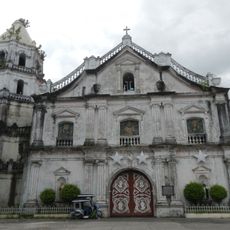
Abucay Church
29.1 km
Mount Natib
17.1 km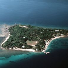
Fort Wint
7.8 km
Parc national de Bataan
20.6 km
Casa Bizantina
26.6 km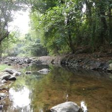
Roosevelt Protected Landscape
4.2 km
Casa Hidalgo
26.5 km
Camayan Beach Resort
6.6 km
Casa Unisan
26.6 km
Casa Jaen I
26.5 km
Subic Watershed Forest Reserve
6.3 km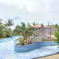
Punta Belle Resort
12 km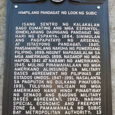
Naval Base of Subic Bay historical marker
267 m
Bataan Provincial Capitol
30.8 km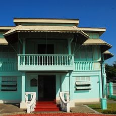
President Ramon Magsaysay House
16.5 km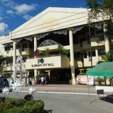
Olongapo City Hall
3.1 km
Resort
25.7 km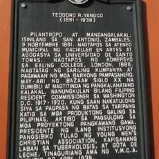
Teodoro R. Yangco historical marker
25.5 km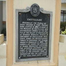
Castillejos historical marker
15.8 km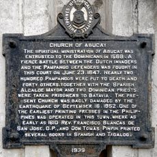
Church of Abucay historical marker
29.1 km
San Antonio Municipal Hall
25.5 km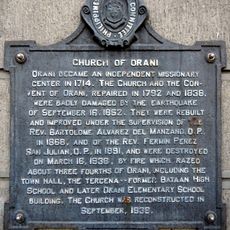
Church of Orani historical marker
27.3 km
Ambon-Ambon Falls
20.9 km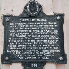
Church of Samal historical marker
28.4 km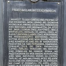
Starting Point of Death March historical marker
26.9 km
Castillejos Municipal Hall
15.8 km
Driftwood Beach Resort
4.1 km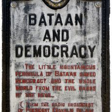
Bataan and Democracy historical marker
24.1 kmAvis
Vous avez visité ce lieu ? Touchez les étoiles pour le noter et partager votre expérience ou vos photos avec la communauté ! Essayez maintenant ! Vous pouvez annuler à tout moment.
Trouvez des trésors cachés à chaque coin de rue !
Des petits cafés pittoresques aux points de vue planqués, fuyez la foule et dénichez les lieux qui vous ressemblent vraiment. Notre app vous facilite la vie : recherche vocale, filtres malins, itinéraires optimisés et bons plans partagés par des voyageurs du monde entier. Téléchargez vite pour vivre l'aventure en version mobile !

Une approche inédite de la découverte touristique❞
— Le Figaro
Tous les lieux qui valent la peine d'être explorés❞
— France Info
Une excursion sur mesure en quelques clics❞
— 20 Minutes