Міст Харіна
Emplacement : Глеюватська сільська громада
Coordonnées GPS : 48.08070,33.54125
Dernière mise à jour : 28 octobre 2025 à 12:01
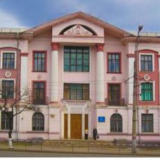
33 Vatutina Street, Kryvyi Rih
8.3 km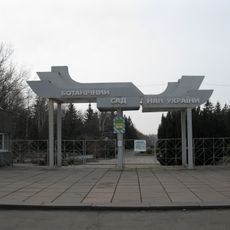
Botanical garden in Kryvyi Rih
8.2 km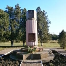
Monument to the dead miners, Kryvyi Rih
8.1 km
Vessiolyié Terny
3.1 km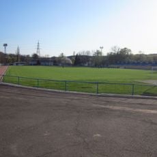
Zhovtneva Mine Stadium
12.5 km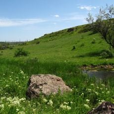
Landscape Reserve Chervona Balka Pivnichna
3.4 km
Tomb of Baba Memorial
7 km
Крэсовское водохранилище
9 km
Шахта «Козацька»
4.7 km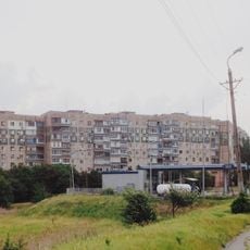
Soniachnyi
15.6 km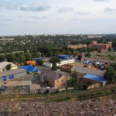
Bilshovyk
14.8 km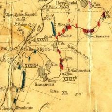
Bazhanove
13.4 km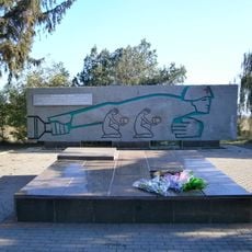
In The Firing Line memorial, Kryvyi Rih
4.1 km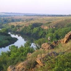
Landscape Reserve Inhuletskyi Step
16.5 km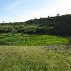
Nature conservation area Balka Pivnichna Chervona
3.4 km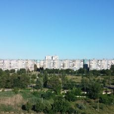
Skhidnyi-2, 3
15.9 km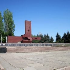
They Shall Not Pass memorial in Kryvyi Rih
3.1 km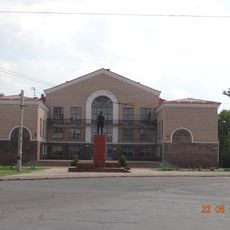
Имени Фрунзе
10.8 km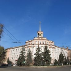
Administrative building of the mine management of production association "Yugruda"
8.9 km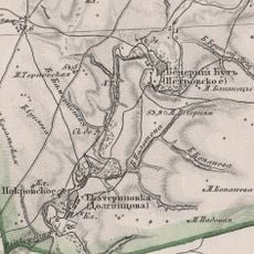
Vechirnii Kut
12.4 km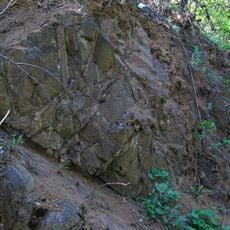
Vykhody amfibolitiv
16.5 km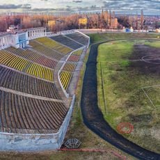
Sukha Balka Stadium
7.5 km
Saksahan arboretum
7.5 km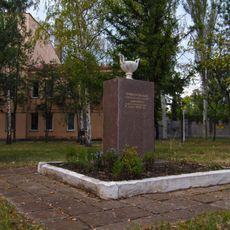
Memorial sign to the 50th anniversary of heat-and-power plant in Kryvyi Rih
11.5 km
Руїни "Червоний міст"
2.5 km
Квітка Кривбасу
15.2 km
Сонячний годинник
8.1 km
Point de vue panoramique
10.4 kmAvis
Vous avez visité ce lieu ? Touchez les étoiles pour le noter et partager votre expérience ou vos photos avec la communauté ! Essayez maintenant ! Vous pouvez annuler à tout moment.
Trouvez des trésors cachés à chaque coin de rue !
Des petits cafés pittoresques aux points de vue planqués, fuyez la foule et dénichez les lieux qui vous ressemblent vraiment. Notre app vous facilite la vie : recherche vocale, filtres malins, itinéraires optimisés et bons plans partagés par des voyageurs du monde entier. Téléchargez vite pour vivre l'aventure en version mobile !

Une approche inédite de la découverte touristique❞
— Le Figaro
Tous les lieux qui valent la peine d'être explorés❞
— France Info
Une excursion sur mesure en quelques clics❞
— 20 Minutes