
Pakriaunio akmuo
Emplacement : Rokiškis District Municipality
Coordonnées GPS : 55.87114,25.79281
Dernière mise à jour : 25 septembre 2025 à 08:41
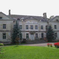
Antazavė Manor
10.9 km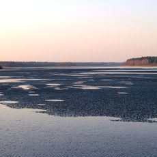
Sartai Regional Park
8.1 km
Aleksandravėlė
9.4 km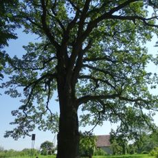
Bradesių ąžuolas
6.9 km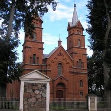
Church of the Holy Trinity, Dusetos
14.5 km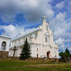
Church of St. Michael the Archangel, Jūžintai
13.1 km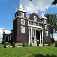
Church of the Providence of God in Antazavė
10.6 km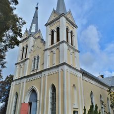
Church of St. Anne, Obeliai
7.7 km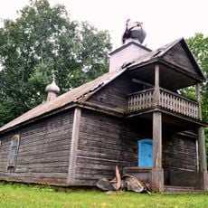
Old Believers Church in Bobriškis
4.3 km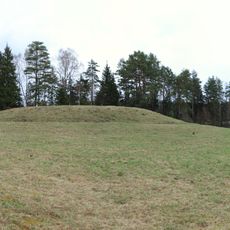
Velikuškių I piliakalnis
5.4 km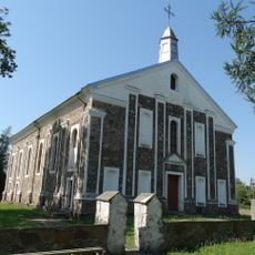
Church of the Providence of God in Kriaunos
2.4 km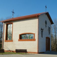
Category:Skemai chapel
11.5 km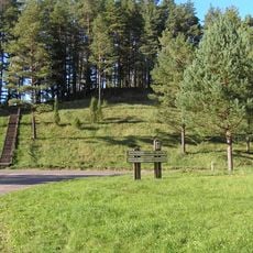
Velikuškės 2nd hillfort
6.8 km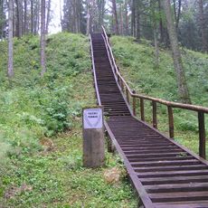
Pakačinės hillfort
8.6 km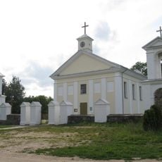
Church of St. Francis Seraph, Aleksandravėlė
9.4 km
Maniuliškių piliakalnis
12.2 km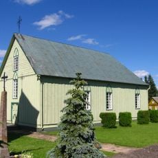
Church of the Blessed Virgin Mary, Rageliai
10 km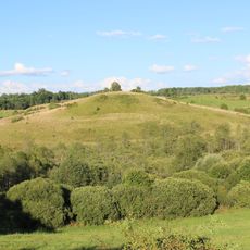
Kalnočių piliakalnis
4.8 km
Baušiškių piliakalnis
12.4 km
Mielėnai hillfort
7.6 km
Petrešiūnai hillfort
5.9 km
Góra zamkowa Dirdy
10.7 km
Sidariškio akmuo
12.5 km
Šišponiškių piliakalnis
15.4 km
Antažiegė hillfort
14.3 km
Marciūniškių piliakalnis
14 km
Kurkliečių II tvenkinys
6.3 km
Kurkliečių III tvenkinys
6.3 kmVous avez visité ce lieu ? Touchez les étoiles pour le noter et partager votre expérience ou vos photos avec la communauté ! Essayez maintenant ! Vous pouvez annuler à tout moment.
Trouvez des trésors cachés à chaque coin de rue !
Des petits cafés pittoresques aux points de vue planqués, fuyez la foule et dénichez les lieux qui vous ressemblent vraiment. Notre app vous facilite la vie : recherche vocale, filtres malins, itinéraires optimisés et bons plans partagés par des voyageurs du monde entier. Téléchargez vite pour vivre l'aventure en version mobile !

Une approche inédite de la découverte touristique❞
— Le Figaro
Tous les lieux qui valent la peine d'être explorés❞
— France Info
Une excursion sur mesure en quelques clics❞
— 20 Minutes