
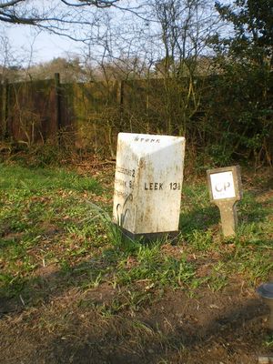
Milepost, N of Spot Acre, milepost in Stone, Stafford, UK
Emplacement : Stafford
Création : 19e siècle
Coordonnées GPS : 52.93540,-2.09071
Dernière mise à jour : 9 mars 2025 à 19:04
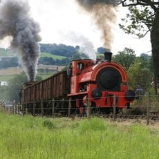
Foxfield Railway
8.2 km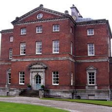
Barlaston Hall
4.8 km
Oulton Abbey
3.7 km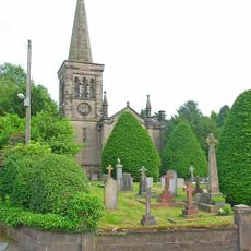
Christ Church
3 km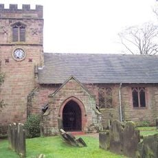
Church of St John the Baptist
4.8 km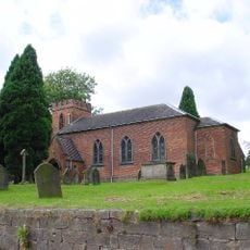
Church of St Nicholas
1.5 km
Church of St Margaret
4.9 km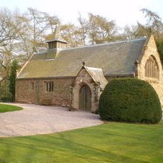
All Saint's Church
1.6 km
Stallington Hall Hospital And Attached Stables
1.8 km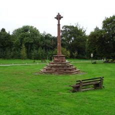
Barlaston War Memorial
4.7 km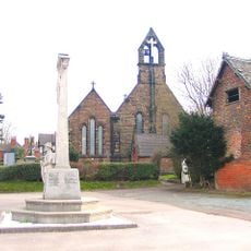
Forsbrook and Blythe Bridge War Memorial
4.1 km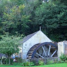
Coppice Mill
4.3 km
Oulton Old Hall
3.7 km
St Mary's Abbey
3.7 km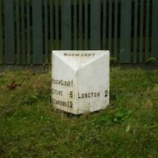
Milepost, Lightwood
3.7 km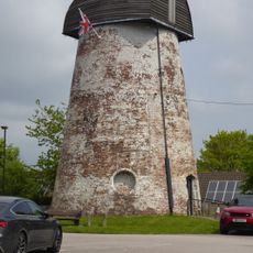
Windmill (Now Used As A Transmitter Station)
2.7 km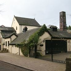
Hayes Mill
3.8 km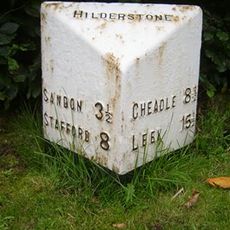
Milepost, Hilderstone village
3.1 km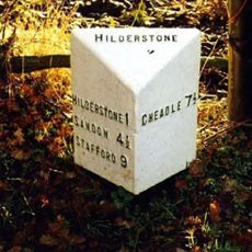
Milepost, S of Bird Grove
2.5 km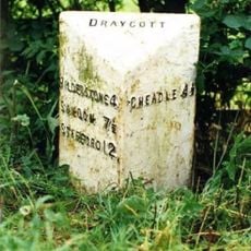
Milepost, Manor Farm, between Draycott & Cresswell, nr jct
4.7 km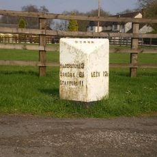
Milepost, S of Meir Heath
1.6 km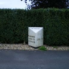
Milepost, Meir Heath
3.2 km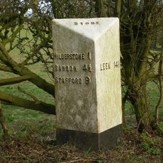
Milepost, near Spot Farm, N of Hilderstone
1.6 km
Milepost, near Moddershall
2.6 km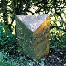
Milepost, near Oulton Cross jct
3.8 km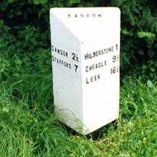
Milepost, Hilderstone Cross Roads (jct with B5027)
4.6 km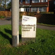
Milepost, between Meir Heath & Blythe Bridge
2.9 km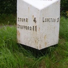
Milepost, Rough Close
2.4 kmAvis
Vous avez visité ce lieu ? Touchez les étoiles pour le noter et partager votre expérience ou vos photos avec la communauté ! Essayez maintenant ! Vous pouvez annuler à tout moment.
Trouvez des trésors cachés à chaque coin de rue !
Des petits cafés pittoresques aux points de vue planqués, fuyez la foule et dénichez les lieux qui vous ressemblent vraiment. Notre app vous facilite la vie : recherche vocale, filtres malins, itinéraires optimisés et bons plans partagés par des voyageurs du monde entier. Téléchargez vite pour vivre l'aventure en version mobile !

Une approche inédite de la découverte touristique❞
— Le Figaro
Tous les lieux qui valent la peine d'être explorés❞
— France Info
Une excursion sur mesure en quelques clics❞
— 20 Minutes