
Wye Bridge, Grade II listed building in Chepstow. Carries the M48 motorway over the Wye estuary and Beachley peninsula, as the western continuation of the Severn Bridge
Emplacement : Chepstow
Création : 1966
Altitude : 1,9 m
Coordonnées GPS : 51.61810,-2.66174
Dernière mise à jour : 7 mars 2025 à 19:12
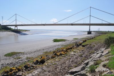
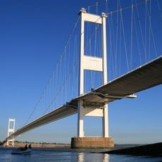
Pont sur la Severn
1.7 km
Mathern Palace
2 km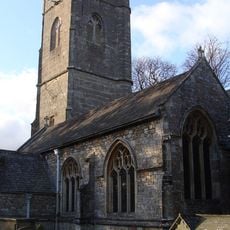
Church Of St Tewdric
2 km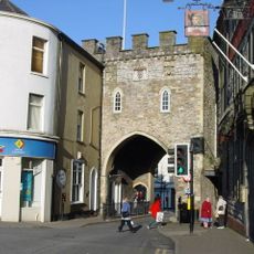
Chepstow Town Gate
2.7 km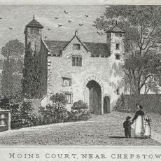
Moynes Court
2.3 km
Pennsylvania Fields, Sedbury
1.7 km
Mathern Mill And Attached House
2.8 km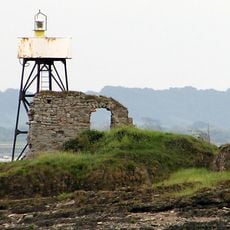
Phare de Chapel Rock
1.4 km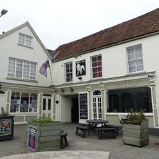
White Lion Inn
2.8 km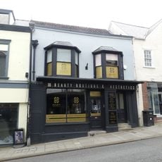
8, High Street, Chepstow
2.8 km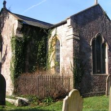
Church of St John
765 m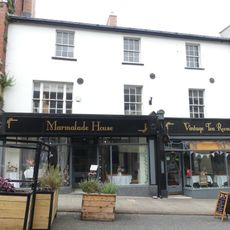
Nos. 28&28a High Street
2.8 km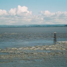
Lyde Rock lighthouse
1.3 km
29, High Street, Chepstow
2.8 km
School Room Adjoining Church Of St John
769 m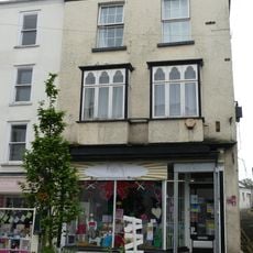
12, High Street, Chepstow
2.8 km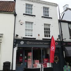
3, Bank Street, Chepstow
2.8 km
St Twrog's Chapel
1.3 km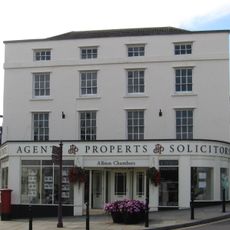
Albion Chambers
2.7 km
7, High Street, Chepstow
2.7 km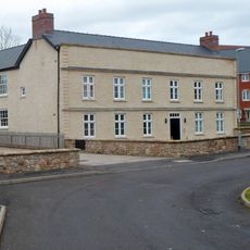
Thornwell Farmhouse
573 m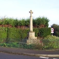
Mathern War Memorial
2.6 km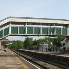
Footbridge at Chepstow railway station
2.5 km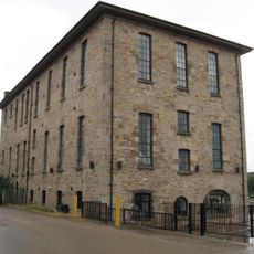
Former steam flour mill and malting at Fairfield-Mabey Works
2.6 km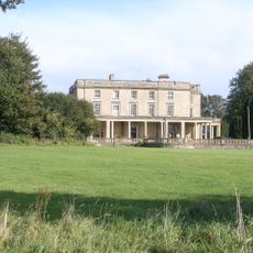
Sedbury Park
2.4 km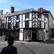
Nos. 22, 23&23a Moor Street
2.7 km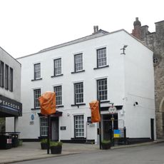
Gate House
2.7 km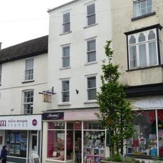
13, High Street, Chepstow
2.8 kmAvis
Vous avez visité ce lieu ? Touchez les étoiles pour le noter et partager votre expérience ou vos photos avec la communauté ! Essayez maintenant ! Vous pouvez annuler à tout moment.
Trouvez des trésors cachés à chaque coin de rue !
Des petits cafés pittoresques aux points de vue planqués, fuyez la foule et dénichez les lieux qui vous ressemblent vraiment. Notre app vous facilite la vie : recherche vocale, filtres malins, itinéraires optimisés et bons plans partagés par des voyageurs du monde entier. Téléchargez vite pour vivre l'aventure en version mobile !

Une approche inédite de la découverte touristique❞
— Le Figaro
Tous les lieux qui valent la peine d'être explorés❞
— France Info
Une excursion sur mesure en quelques clics❞
— 20 Minutes