
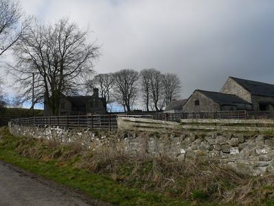
Plas Llanarmon, Grade II listed building in Denbighshire. Situated c1.5km west of the village, on the N side of the minor lane that leaves the village W of the church
Emplacement : Llanarmon-yn-Iâl
Altitude : 252,8 m
Fait partie de : Llanarmon Estate
Coordonnées GPS : 53.09293,-3.21992
Dernière mise à jour : 4 mars 2025 à 16:47
Moel Gyw
2.2 km
Bryn Alyn
3.4 km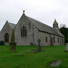
St Garmon's Church
773 m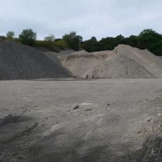
Graig quarry
2.3 km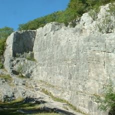
Pot Hole quarry
4 km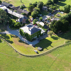
Sundial in the Churchyard of St Mary's Parish Church
4.1 km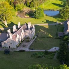
Bodidris
2.9 km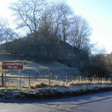
Tomen y Faerdre
989 m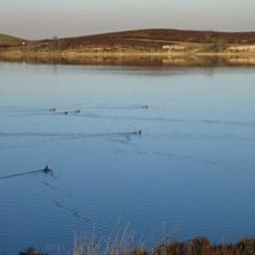
Llyn Cyfynwy
3.5 km
Moel y Plas
1.4 km
Moel y Waun
2.8 km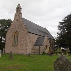
Church of St Tecla
3.5 km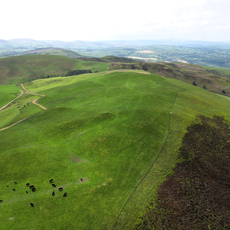
Moel Llanfair
1.7 km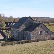
Capel Bethel
755 m
Plas Du
1.6 km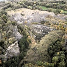
Pystyll Gwyn quarry
1.9 km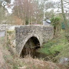
Bridge at Llandegla
3.6 km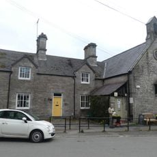
Llandegla School and Former Schoolhouse
3.6 km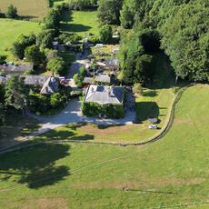
Bathafarn Hall
4.1 km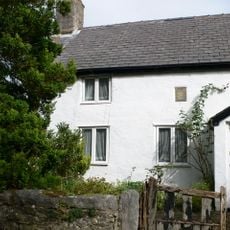
Llwyn Onn
783 m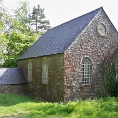
Tabernacl Welsh Independent Chapel
3.2 km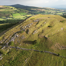
Bryn Alyn
3.4 km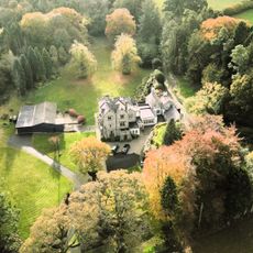
Gelli Gynan Hall
850 m
Ty Capel
752 m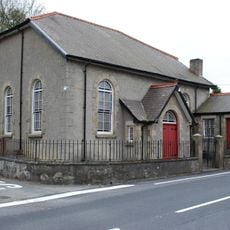
Pisga Welsh Independent Chapel
4.1 km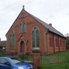
Bethania Chapel
3.8 km
The Old Vicarage
716 m
Garthgynan
4.1 kmVous avez visité ce lieu ? Touchez les étoiles pour le noter et partager votre expérience ou vos photos avec la communauté ! Essayez maintenant ! Vous pouvez annuler à tout moment.
Trouvez des trésors cachés à chaque coin de rue !
Des petits cafés pittoresques aux points de vue planqués, fuyez la foule et dénichez les lieux qui vous ressemblent vraiment. Notre app vous facilite la vie : recherche vocale, filtres malins, itinéraires optimisés et bons plans partagés par des voyageurs du monde entier. Téléchargez vite pour vivre l'aventure en version mobile !

Une approche inédite de la découverte touristique❞
— Le Figaro
Tous les lieux qui valent la peine d'être explorés❞
— France Info
Une excursion sur mesure en quelques clics❞
— 20 Minutes