
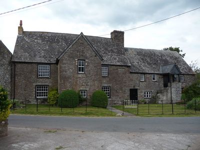
Ty Fry, Grade II listed building in Powys. Situated in Llanfrynach village on the N side of lane to Cantref
Emplacement : Llanfrynach
Altitude : 144,8 m
Coordonnées GPS : 51.92285,-3.34919
Dernière mise à jour : 7 mars 2025 à 12:50
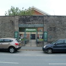
The Regimental Museum of The Royal Welsh
3.4 km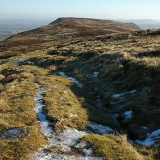
Fforest Fawr Geopark
2.5 km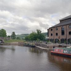
Theatr Brycheiniog
3.6 km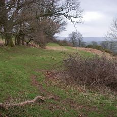
Slwch Tump
3.1 km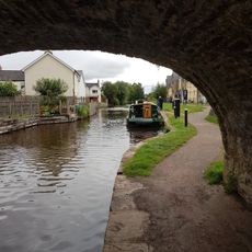
The Royal Welsh Regimental Museum
3.4 km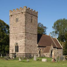
St Brynach's Church
208 m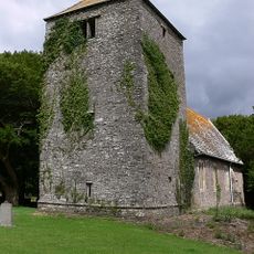
Church of St Mary
1.7 km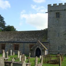
Church of St Peter and St Illtyd
1.8 km
Canal Bridge No 162 Brecon & Abergavenny Canal
1.5 km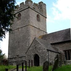
St Meugan's Church
1.8 km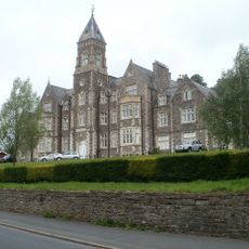
Camden Court
2.9 km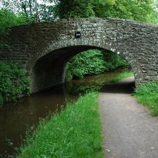
Canal Bridge on S side of A40
1.9 km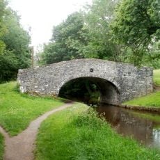
Penawr Bridge (Canal Bridge No.151)
3.2 km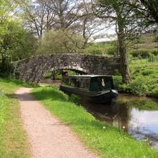
Low Bridge (Canal Bridge No.156)
1.5 km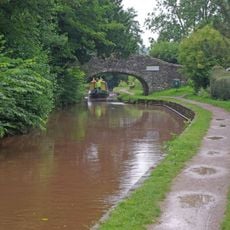
Pencelli Bridge
2.1 km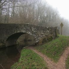
Castle Bridge (Canal Bridge No. 152)
2.5 km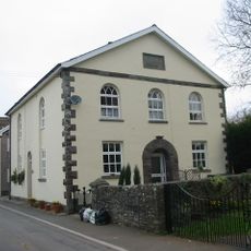
Mizpah Baptist Chapel
138 m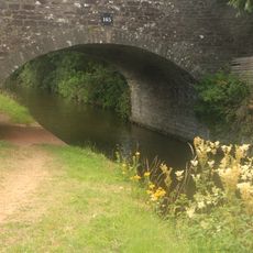
Canal Bridge at S end of Gasworks Lane
3.5 km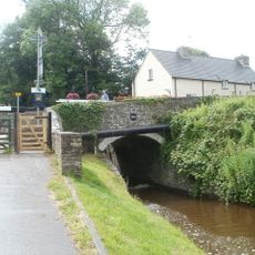
Canal Bridge No 163 and Cefn Brynich Lock Chamber
1.6 km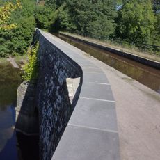
Cefn Brynich Canal Bridge Aqueduct
1.6 km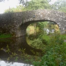
Canal Bridge No 161 Brecon & Abergavenny Canal
1.5 km
80,The Watton , Brecon
3.4 km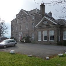
Peterstone Court
1.7 km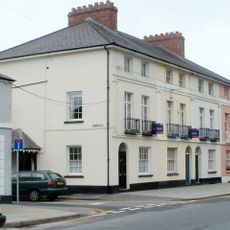
72, The Watton, Brecon
3.5 km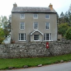
Cantref House
1.7 km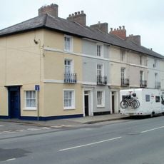
79, The Watton, Brecon
3.4 km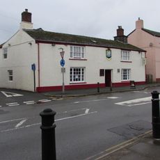
Brecon Rugby Club
3.5 km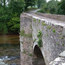
Lock Road Bridge
1.6 kmVous avez visité ce lieu ? Touchez les étoiles pour le noter et partager votre expérience ou vos photos avec la communauté ! Essayez maintenant ! Vous pouvez annuler à tout moment.
Trouvez des trésors cachés à chaque coin de rue !
Des petits cafés pittoresques aux points de vue planqués, fuyez la foule et dénichez les lieux qui vous ressemblent vraiment. Notre app vous facilite la vie : recherche vocale, filtres malins, itinéraires optimisés et bons plans partagés par des voyageurs du monde entier. Téléchargez vite pour vivre l'aventure en version mobile !

Une approche inédite de la découverte touristique❞
— Le Figaro
Tous les lieux qui valent la peine d'être explorés❞
— France Info
Une excursion sur mesure en quelques clics❞
— 20 Minutes