
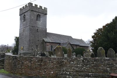
Church of St Michael and All Angels, grade II listed building in Powys, situated on rising ground just N of the main village thoroughfare, the churchyard sloping E to the River Tawel
Emplacement : Llangors
Altitude : 177,1 m
Coordonnées GPS : 51.94702,-3.29011
Dernière mise à jour : 6 mars 2025 à 21:05
Fforest Fawr Geopark
2.4 km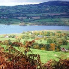
Treberfydd
3.3 km
Allt yr Esgair
4.2 km
Caeau Ty-mawr
2.2 km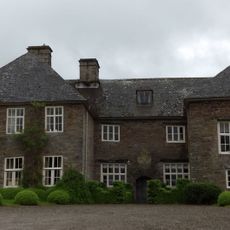
Trefecca Fawr
4.3 km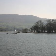
Llangors Crannog
1.9 km
St Brynach's Church
4.7 km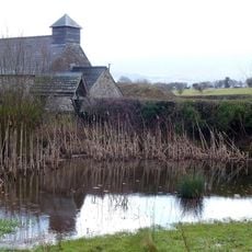
Church Of St Mary
1.3 km
St Gastyn's Church
3 km
Church of St Peter and St Illtyd
3.2 km
Church Of St Paulinus
2.2 km
Canal Bridge No 162 Brecon & Abergavenny Canal
3.7 km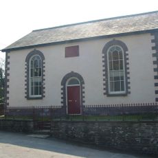
Penuel Baptist Chapel
2.2 km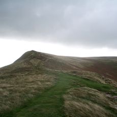
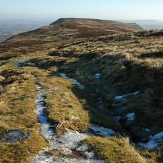
Mynydd Llangorse
4.6 km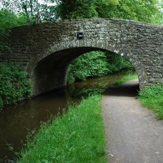
Canal Bridge on S side of A40
4.6 km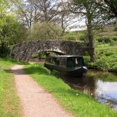
Low Bridge (Canal Bridge No.156)
4.3 km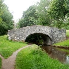
Penawr Bridge (Canal Bridge No.151)
4.3 km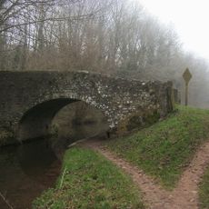
Castle Bridge (Canal Bridge No. 152)
4 km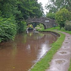
Pencelli Bridge
4 km
Tal-y-llyn Railway Tunnel
1.2 km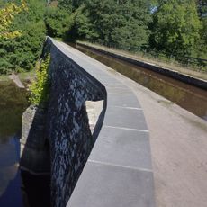
Cefn Brynich Canal Bridge Aqueduct
3.7 km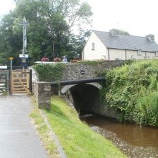
Canal Bridge No 163 and Cefn Brynich Lock Chamber
3.8 km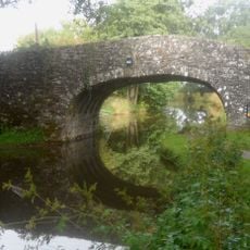
Canal Bridge No 161 Brecon & Abergavenny Canal
3.5 km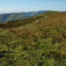
Pen-yr-allt
4.3 km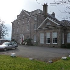
Peterstone Court
3.2 km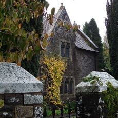
Old School House (also Known As Yr Hen Ysgol)
3 km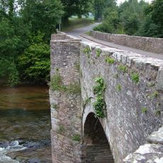
Lock Road Bridge
3.8 km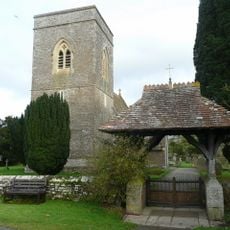
Lychgate in churchyard of St Gastyn
3 kmVous avez visité ce lieu ? Touchez les étoiles pour le noter et partager votre expérience ou vos photos avec la communauté ! Essayez maintenant ! Vous pouvez annuler à tout moment.
Trouvez des trésors cachés à chaque coin de rue !
Des petits cafés pittoresques aux points de vue planqués, fuyez la foule et dénichez les lieux qui vous ressemblent vraiment. Notre app vous facilite la vie : recherche vocale, filtres malins, itinéraires optimisés et bons plans partagés par des voyageurs du monde entier. Téléchargez vite pour vivre l'aventure en version mobile !

Une approche inédite de la découverte touristique❞
— Le Figaro
Tous les lieux qui valent la peine d'être explorés❞
— France Info
Une excursion sur mesure en quelques clics❞
— 20 Minutes