
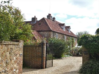
Chantry House, house in Oxborough, Breckland, Norfolk, UK
Emplacement : Oxborough
Coordonnées GPS : 52.58327,0.57436
Dernière mise à jour : 6 mars 2025 à 01:00
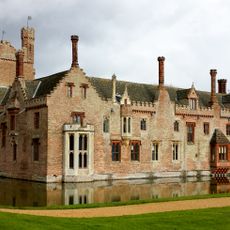
Oxburgh Hall
365 m
Caldecote
2.5 km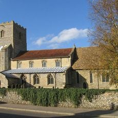
Church of St George
1.9 km
Church of All Saints
3.2 km
Church of St John
111 m
Church of St Botolph
4 km
Church of the Immaculate Conception of the Blessed Virgin Mary and St Margaret
432 m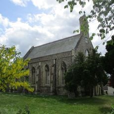
Church of All Saints
4.3 km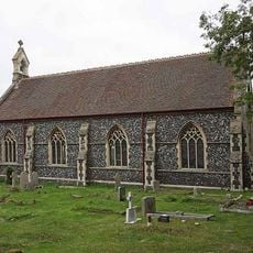
Christchurch
3.6 km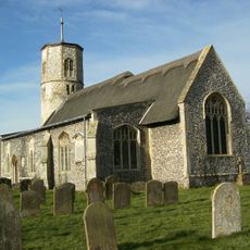
Church of Saint Mary
3.9 km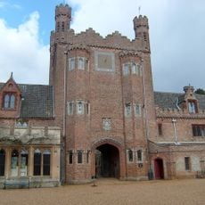
Park Boundary Wall Including Tower And Gateway
591 m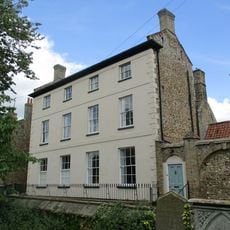
Park House Including Stable Yard To East
4.3 km
The Lodge
182 m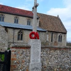
Gooderstone War Memorial
1.8 km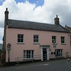
Crown House
4.4 km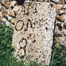
Milestone
1.5 km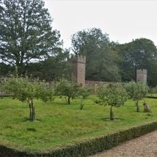
Garden Wall With Towers
251 m
The Surgery
4.3 km
The Old Granary
4.3 km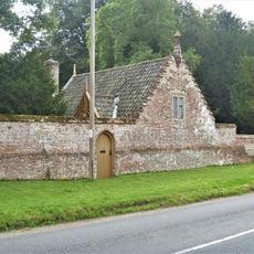
Chapel Lodge
423 m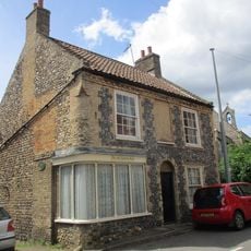
The Old Chemists Shop
4.3 km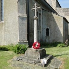
War Memorial
3.2 km
Hall Farmhouse
314 m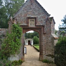
Pedestrian Gateway Approximately 70 Metres North East Of Oxburgh Hall
267 m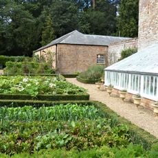
Former Stables, Coach House And Attached Gate Posts
262 m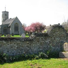
Village cross 50m east of St Mary's Church
3.9 km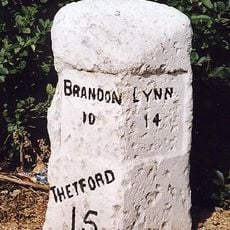
Milestone, Bridge Rd 20yds S of Hawthorn Lodge
4.2 km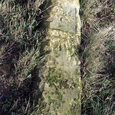
Milestone, Methwold Rd, Whittington
3.8 kmVous avez visité ce lieu ? Touchez les étoiles pour le noter et partager votre expérience ou vos photos avec la communauté ! Essayez maintenant ! Vous pouvez annuler à tout moment.
Trouvez des trésors cachés à chaque coin de rue !
Des petits cafés pittoresques aux points de vue planqués, fuyez la foule et dénichez les lieux qui vous ressemblent vraiment. Notre app vous facilite la vie : recherche vocale, filtres malins, itinéraires optimisés et bons plans partagés par des voyageurs du monde entier. Téléchargez vite pour vivre l'aventure en version mobile !

Une approche inédite de la découverte touristique❞
— Le Figaro
Tous les lieux qui valent la peine d'être explorés❞
— France Info
Une excursion sur mesure en quelques clics❞
— 20 Minutes