
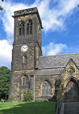
Christ Church, church building in Rotherham, South Yorkshire, UK
Emplacement : Rotherham
Coordonnées GPS : 53.50332,-1.36586
Dernière mise à jour : 3 mars 2025 à 11:07
Hoober
2.8 km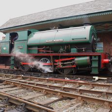
Elsecar Heritage Railway
3.7 km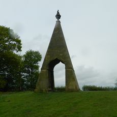
Needle's Eye
3.3 km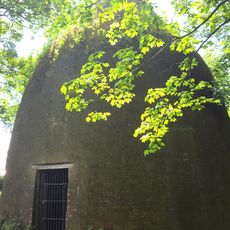
Rockingham Kiln
2.8 km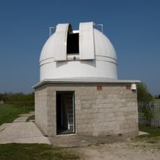
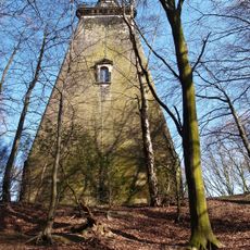
Hoober Observatory
2.7 km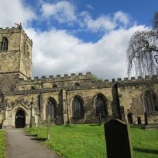
Church of All Saints
3.4 km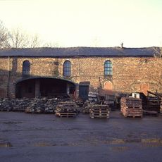
Elsecar Ironworks
3.6 km
Wath Hall
1.2 km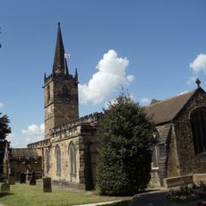
Church of All Saints
1.1 km
Church of the Holy Trinity
3.5 km
Church of St Margaret
3.4 km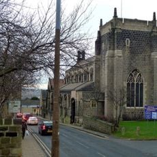
Church of St Mary
2.9 km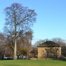
Mausoleum On East Side Of Newhill Park
1.2 km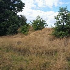
Roman Ridge: section 300yds (270m) long N of Birchwood (E of Chemical Cottages)
3.4 km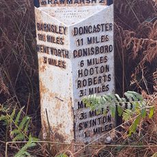
Milepost Opposite Warren House Cottage
3.1 km
Grand Cinema
787 m
Darfield Council Offices
3.4 km
Old Row And Attached Front Garden Walls
2.1 km
15, Fitzwilliam Street
3.6 km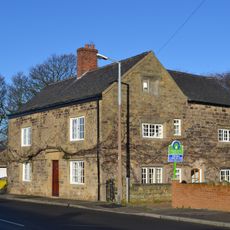
Hall Farmhouse
1.1 km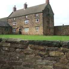
Hoober Hall
1.6 km
Milestone Approximately 30 Metres To North West Of Mausoleum Lodge
3.7 km
Hall Farmhouse
3.6 km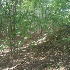
Roman Ridge: section 140yds (130m) long in Dyson's Plantation
3.5 km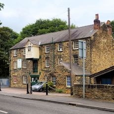
Elsecar Mill
3.5 km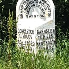
Milepost Approximately 45 Metres South West Of Junction With Abdy Lane
2.9 km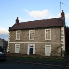
Hawthorne Farmhouse
3.7 km
Roman Ridge: section 400yds (370m) long S of Abdy Farm
2.6 kmVous avez visité ce lieu ? Touchez les étoiles pour le noter et partager votre expérience ou vos photos avec la communauté ! Essayez maintenant ! Vous pouvez annuler à tout moment.
Trouvez des trésors cachés à chaque coin de rue !
Des petits cafés pittoresques aux points de vue planqués, fuyez la foule et dénichez les lieux qui vous ressemblent vraiment. Notre app vous facilite la vie : recherche vocale, filtres malins, itinéraires optimisés et bons plans partagés par des voyageurs du monde entier. Téléchargez vite pour vivre l'aventure en version mobile !

Une approche inédite de la découverte touristique❞
— Le Figaro
Tous les lieux qui valent la peine d'être explorés❞
— France Info
Une excursion sur mesure en quelques clics❞
— 20 Minutes