
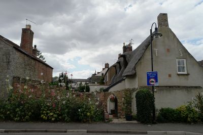
27, East Street, building in Crowland, South Holland, Lincolnshire, UK
Emplacement : Crowland
Coordonnées GPS : 52.67623,-0.16621
Dernière mise à jour : 11 mars 2025 à 22:40
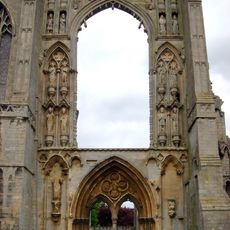
Abbaye de Crowland
66 m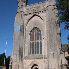
Abbaye de Thorney
7.4 km
Trinity Bridge
154 m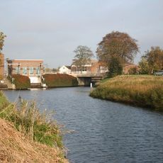
Deeping Fen
6.3 km
Eye Gravel Pit
6.8 km
Eye Green Nature Reserve
7.1 km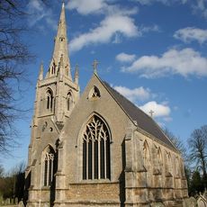
Church of St Nicholas
6.3 km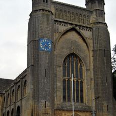
Church of St Mary and St Botolph
7.4 km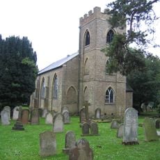
Church of St Bartholomew
5.7 km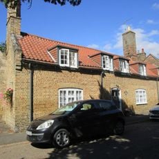
14,15 and 16, Church Street
7.3 km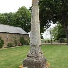
St Vincent's Cross
3.3 km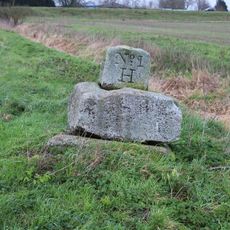
Kenulph's stone
3.3 km
Thorney Library
7.3 km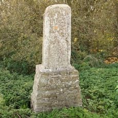
St Guthlac's Cross
5 km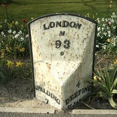
Milepost Opposite To The Bluebell Inn
6.3 km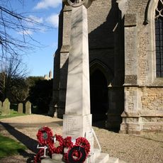
Deeping St Nicholas War Memorial
6.4 km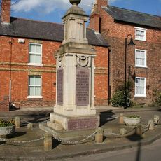
Crowland War Memorial
82 m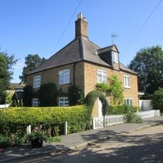
41 And 43, Wisbech Road
7.4 km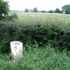
Milepost (South Of Junction With Town-Gate Outgang East Road)
7.2 km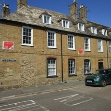
5 And 6, Abbey Place
7.3 km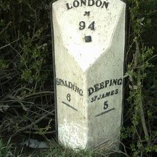
Milepost At Lonsdale Farm
5.9 km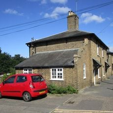
42-52, Wisbech Road
7.3 km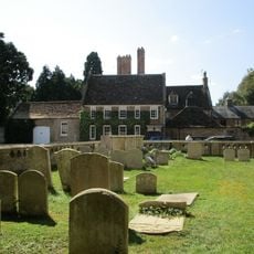
Thorney Abbey And Abbey House
7.4 km
54-82, Wisbech Road
7.4 km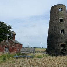
Windmill
7 km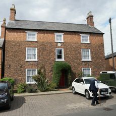
22, East Street
73 m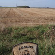
Milepost Opposite To Poplars Farm
7 km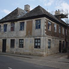
The Manor House
102 mVous avez visité ce lieu ? Touchez les étoiles pour le noter et partager votre expérience ou vos photos avec la communauté ! Essayez maintenant ! Vous pouvez annuler à tout moment.
Trouvez des trésors cachés à chaque coin de rue !
Des petits cafés pittoresques aux points de vue planqués, fuyez la foule et dénichez les lieux qui vous ressemblent vraiment. Notre app vous facilite la vie : recherche vocale, filtres malins, itinéraires optimisés et bons plans partagés par des voyageurs du monde entier. Téléchargez vite pour vivre l'aventure en version mobile !

Une approche inédite de la découverte touristique❞
— Le Figaro
Tous les lieux qui valent la peine d'être explorés❞
— France Info
Une excursion sur mesure en quelques clics❞
— 20 Minutes