
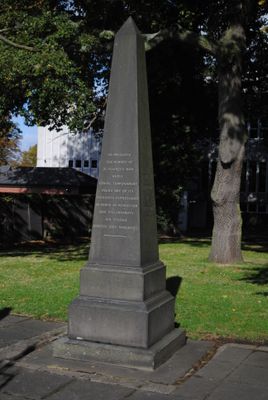
Edward Farmer memorial, obelisk in Saint Editha's churchyard, Tamworth, England
Emplacement : Tamworth
Coordonnées GPS : 52.63437,-1.69496
Dernière mise à jour : 4 avril 2025 à 02:33
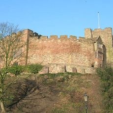
Château de Tamworth
228 m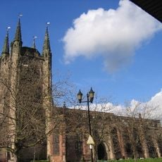
Church of St Editha
48 m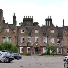
Moat House
540 m
Town Hall
153 m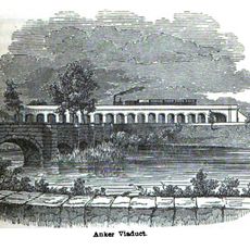
Bolehall Viaduct
676 m
Odeon
397 m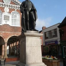
Statue of Robert Peel
151 m
Odeon Tamworth
273 m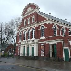
Tamworth Assembly Rooms
44 m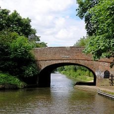
Sutton Road Bridge
1.6 km
Statue of Ethelfleda Approximately 13.5 Metres East of Holloway Lodge
274 m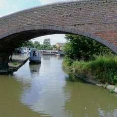
Coventry Canal Towpath Bridge To Entrance To Basin
1.2 km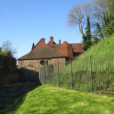
Castle Coach House And Attached Wall Extending To Holloway Lodge
245 m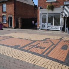
St Editha's Church pavement mural
120 m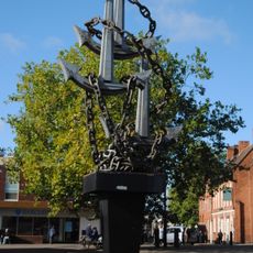
Colin Grazier Memorial
68 m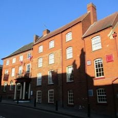
Castle Hotel Lakins Night Club The Bow Street Runner
217 m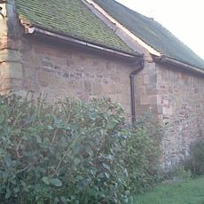
Spital Chapel of St James
927 m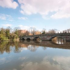
Lady Bridge
377 m
17 And 18, Lichfield Street
304 m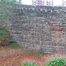
Causeway Walls To North East Of Tamworth Castle
200 m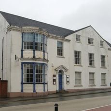
The White House
438 m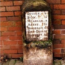
Milestone Approximately 47 Metres North Of Junction With Hospital Street
281 m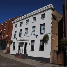
10, Colehill
171 m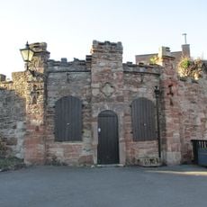
Upper Lodge To North East Of Tamworth Castle
185 m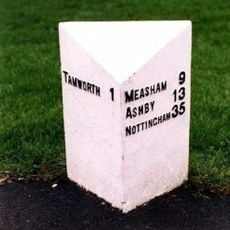
Milepost, Perry Crofts
1.2 km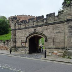
Holloway Lodge
287 m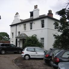
Willington Lodge
1.4 km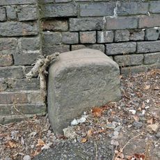
Milestone, Glascote Road
1.2 kmVous avez visité ce lieu ? Touchez les étoiles pour le noter et partager votre expérience ou vos photos avec la communauté ! Essayez maintenant ! Vous pouvez annuler à tout moment.
Trouvez des trésors cachés à chaque coin de rue !
Des petits cafés pittoresques aux points de vue planqués, fuyez la foule et dénichez les lieux qui vous ressemblent vraiment. Notre app vous facilite la vie : recherche vocale, filtres malins, itinéraires optimisés et bons plans partagés par des voyageurs du monde entier. Téléchargez vite pour vivre l'aventure en version mobile !

Une approche inédite de la découverte touristique❞
— Le Figaro
Tous les lieux qui valent la peine d'être explorés❞
— France Info
Une excursion sur mesure en quelques clics❞
— 20 Minutes