
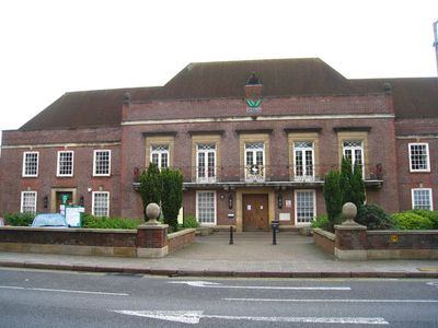
Municipal Offices, High Wycombe, municipal Building in England
Emplacement : High Wycombe
Coordonnées GPS : 51.62769,-0.74861
Dernière mise à jour : 7 mars 2025 à 17:40
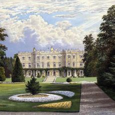
Hughenden Manor
2.6 km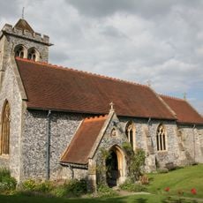
St Michael and All Angels Church, Hughenden
2.7 km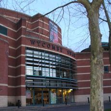
Wycombe Swan
136 m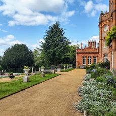
National Trust - Hughenden
2.7 km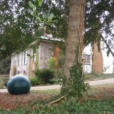
Wycombe Museum
403 m
Wycombe Summit
2 km
Desborough Castle
2.1 km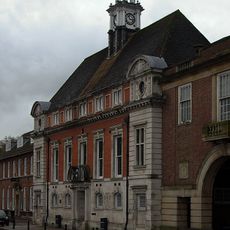
Former Town Hall
71 m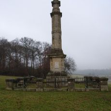
Disraeli Monument
2.1 km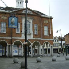
High Wycombe Guildhall
264 m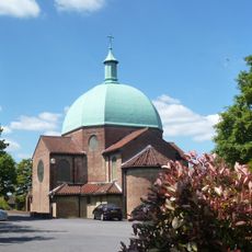
Church of St Mary and St George
2.1 km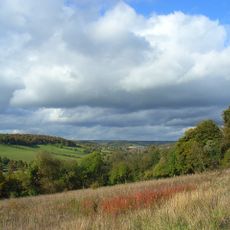
Millfield Wood
2.6 km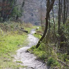
Gomm's Wood
2.9 km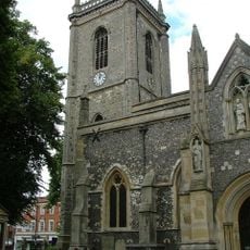
Church of All Saints, High Wycombe
287 m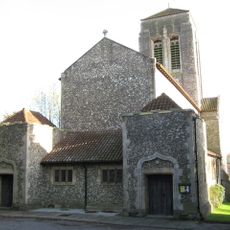
Church of Saint Francis
1.9 km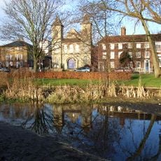
Trinity Congregational Church
377 m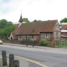
Church of St Anne
2.4 km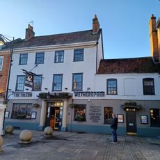
The Falcon Hotel
250 m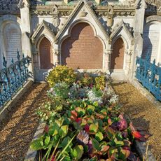
Monument To Disraeli Family, In Churchyard Against East Wall Of North Chapel
2.7 km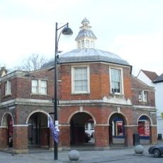
The Little Market House
255 m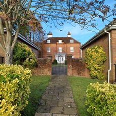
Loakes House
600 m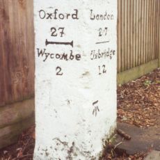
Milestone In Front Of The Halfway House
2.9 km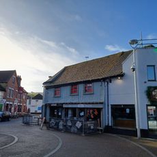
13, Pauls Row
229 m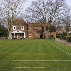
Bassetsbury Manor
1 km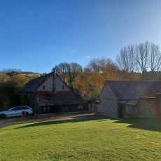
L Plan Range Of Farm Buildings To North East Of Church Farmhouse
3.1 km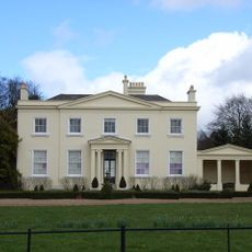
Brands House
2.9 km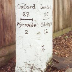
Milestone, London Road; King's Mead, E of town, was beside HalfwayHouse PH (since demolished 2011)
2.9 km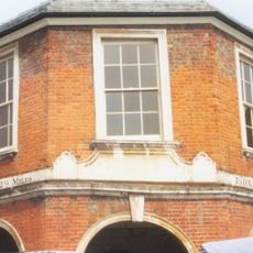
Milestone, Church Square; opp. Guild Hall on Market building known as the Pepper Pot
240 mVous avez visité ce lieu ? Touchez les étoiles pour le noter et partager votre expérience ou vos photos avec la communauté ! Essayez maintenant ! Vous pouvez annuler à tout moment.
Trouvez des trésors cachés à chaque coin de rue !
Des petits cafés pittoresques aux points de vue planqués, fuyez la foule et dénichez les lieux qui vous ressemblent vraiment. Notre app vous facilite la vie : recherche vocale, filtres malins, itinéraires optimisés et bons plans partagés par des voyageurs du monde entier. Téléchargez vite pour vivre l'aventure en version mobile !

Une approche inédite de la découverte touristique❞
— Le Figaro
Tous les lieux qui valent la peine d'être explorés❞
— France Info
Une excursion sur mesure en quelques clics❞
— 20 Minutes