
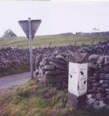
Guidestone, Kail Lane, by drystone wall, guide stone in Thorpe, Craven, UK
Emplacement : Craven
Création : 19e siècle
Coordonnées GPS : 54.05575,-1.97400
Dernière mise à jour : 4 mars 2025 à 08:27
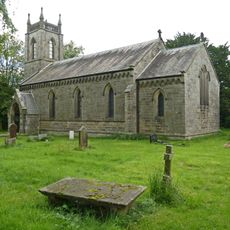
Church of St Peter
1.1 km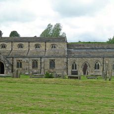
Church of St Michael and All Angels
1.7 km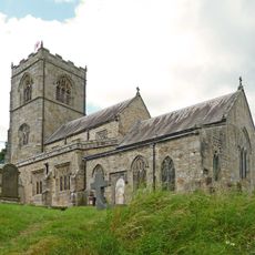
Church of St Wilfred
1.6 km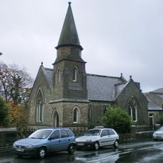
Methodist Chapel
1.7 km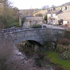
Old Bridge
1.3 km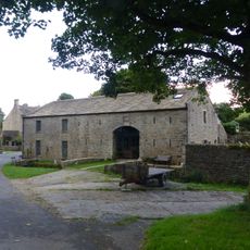
Manor House Barn and approach bridge
612 m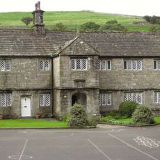
The Old Grammar School
1.6 km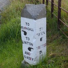
Guide stone at SE 0095 6247
907 m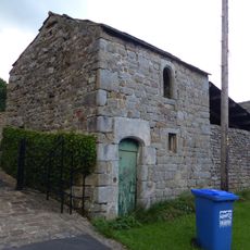
Bull house opposite Kail Farmhouse
720 m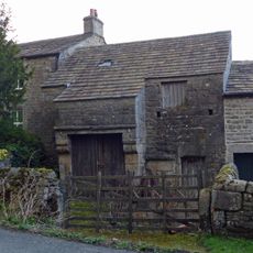
Barn and byre to east of Hardcastle House
610 m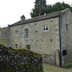
Outbuilding opposite Manor House
578 m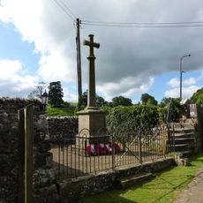
Linton-in-Craven War Memorial
1.7 km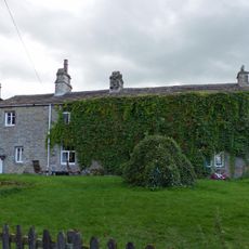
Sunnyside and Sunnybank
683 m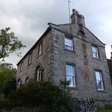
Holly Tree Farmhouse
692 m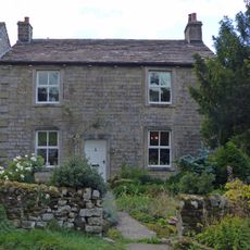
Hardcastle House
619 m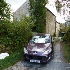
Stonycroft
639 m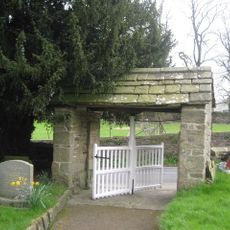
Lych Gate Approximately 30 Metres To West Of Church Of St Wilfred
1.6 km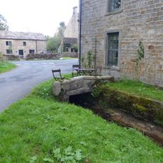
Culvert mouth, lining walls, bridge and sheepwash west of Manor House Barn
621 m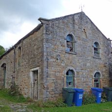
Barn approximately 10 metres south of Holly Tree Farmhouse
708 m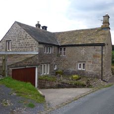
Blackburn House
602 m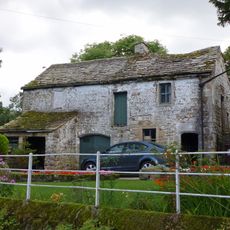
Barn and bothy range to S of Hardy Grange Farmhouse
649 m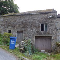
Outbuilding to west end of Hardcastle House
622 m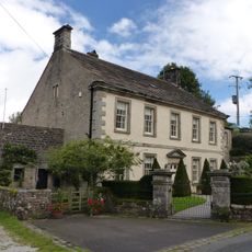
Manor house with wall and gate piers
573 m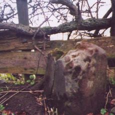
Milestone At Se 0156 6320
1 km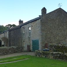
Kail Farmhouse
707 m
Hardy Grange Farmhouse
647 m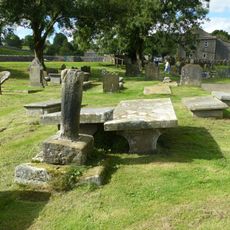
Linton churchyard cross and sundial
1.6 km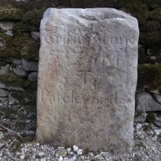
Milestone, Tinker Lane, Hebden on pre turnpike route
1.2 kmAvis
Vous avez visité ce lieu ? Touchez les étoiles pour le noter et partager votre expérience ou vos photos avec la communauté ! Essayez maintenant ! Vous pouvez annuler à tout moment.
Trouvez des trésors cachés à chaque coin de rue !
Des petits cafés pittoresques aux points de vue planqués, fuyez la foule et dénichez les lieux qui vous ressemblent vraiment. Notre app vous facilite la vie : recherche vocale, filtres malins, itinéraires optimisés et bons plans partagés par des voyageurs du monde entier. Téléchargez vite pour vivre l'aventure en version mobile !

Une approche inédite de la découverte touristique❞
— Le Figaro
Tous les lieux qui valent la peine d'être explorés❞
— France Info
Une excursion sur mesure en quelques clics❞
— 20 Minutes