
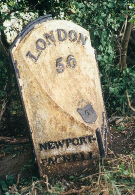
Milepost, Warrington Road; N of Olney, 300m N of Longland Farm, on bend, milepost in Olney, Milton Keynes, UK
Emplacement : City of Milton Keynes
Création : 19e siècle
Coordonnées GPS : 52.16838,-0.69266
Dernière mise à jour : 8 avril 2025 à 01:12
Turvey House
4.4 km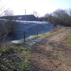
Lavendon Castle
2.5 km
Parish Church of St Mary
1.7 km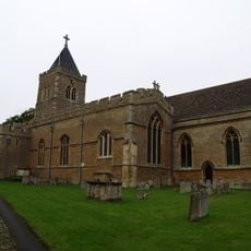
Parish Church of All Saints, Turvey
4.5 km
Church of Saints Peter and Paul
2.1 km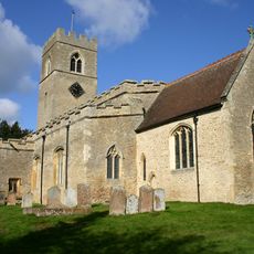
Church of St Michael
2.2 km
Church of St Lawrence, Weston Underwood
4.1 km
Church of St Nicholas
3.4 km
Church of All Saints
3.7 km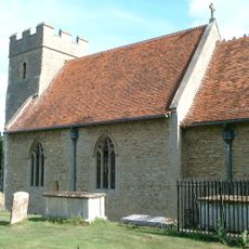
Church of St Mary
3.5 km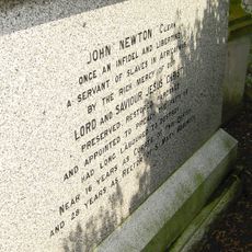
Tomb of John and Mary Newton
2.2 km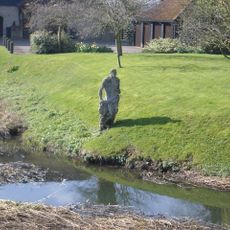
Statue of Jonah
4.4 km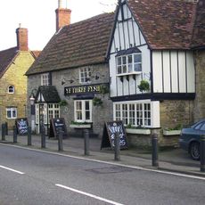
Ye Three Fyshes Inn
4.4 km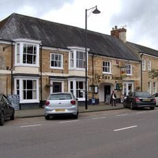
Two Brewers Public House
1.6 km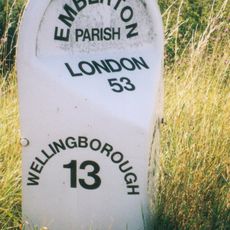
Milepost, Newport Road; new section S of Emberton village
4.3 km
Lavendon War Memorial
2.2 km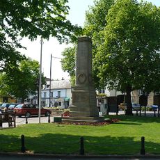
Olney War Memorial
1.8 km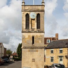
Memorial Clock Tower
3.6 km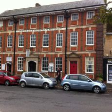
Gilpin House Orchard Side Cowper And Newton Museum
1.8 km
1, East Street
1.8 km
Westlands (Including Garden Wall To Spring Lane)
1.8 km
Alyncote
4.5 km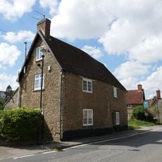
78, Bridge Street
4.5 km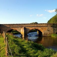
Turvey Bridge
4.3 km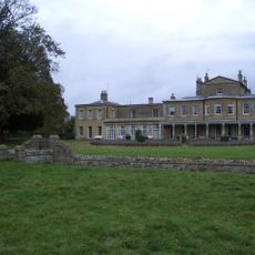
Brayfield House
3.4 km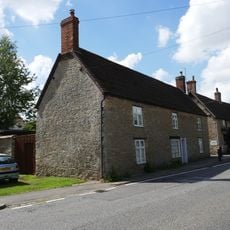
Wright
4.4 km
The Vicarage Including Attached Coachhouse
2 km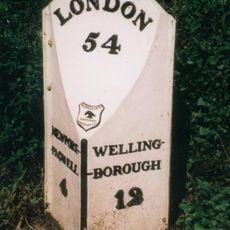
Milepost, Newport Road; 100m N of jct to Emberton Country Park
2.9 kmAvis
Vous avez visité ce lieu ? Touchez les étoiles pour le noter et partager votre expérience ou vos photos avec la communauté ! Essayez maintenant ! Vous pouvez annuler à tout moment.
Trouvez des trésors cachés à chaque coin de rue !
Des petits cafés pittoresques aux points de vue planqués, fuyez la foule et dénichez les lieux qui vous ressemblent vraiment. Notre app vous facilite la vie : recherche vocale, filtres malins, itinéraires optimisés et bons plans partagés par des voyageurs du monde entier. Téléchargez vite pour vivre l'aventure en version mobile !

Une approche inédite de la découverte touristique❞
— Le Figaro
Tous les lieux qui valent la peine d'être explorés❞
— France Info
Une excursion sur mesure en quelques clics❞
— 20 Minutes