
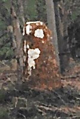
Milestone, Forest Road; Dyers Hill, half mile W of Charlbury Station, milestone in Charlbury, West Oxfordshire, UK
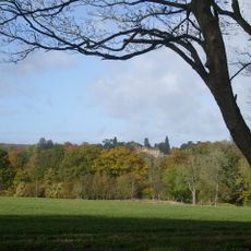
Emplacement : West Oxfordshire
Création : 19e siècle
Coordonnées GPS : 51.87186,-1.50379
Dernière mise à jour : 3 mars 2025 à 00:49
Cornbury Park
1.3 km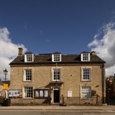
Charlbury Museum
1.5 km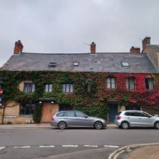
Bull Inn
1.5 km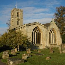
St Mary's Church, Charlbury
1.3 km
Church of All Saints
1.6 km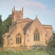
Church of St Nicholas
2.8 km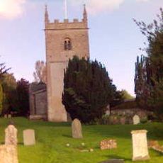
Church of All Saints, Spelsbury
2.2 km
1, Park Street
1.3 km
White Hart Public House
1.4 km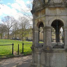
Charlbury Fountain
1.6 km
Grandchester House
1.4 km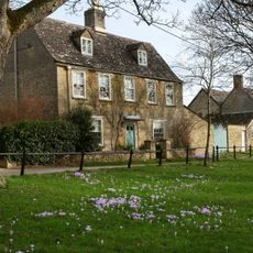
Egypt
1.6 km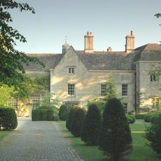
Manor House And Attached Walls And Outbuildings
2.7 km
The Old Rectory
1.2 km
Hone House
1.6 km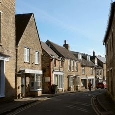
Premises Occupied By The Good Food Shop And The Charlbury Clinic
1.5 km
10 and 11, Market Street
1.5 km
Queen's Own
1.3 km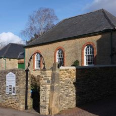
Quaker Meeting House
1.4 km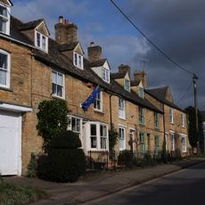
4-6, Dyers Hill
1.3 km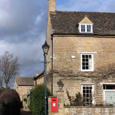
The Manor House
1.4 km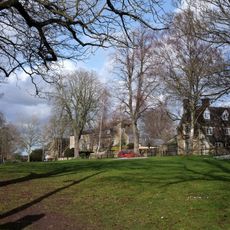
The Homestead
1.6 km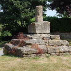
Taston Cross
3.2 km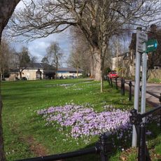
Iron Railings Surrounding The Playing Close
1.6 km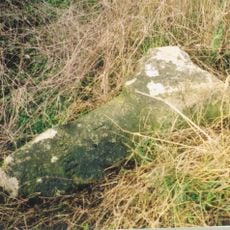
Milestone, Fawler Road; Cornbury Park, up hill from Finstock Station and 30m N of lay-by
2.4 km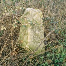
Milestone, Banbury Hill; opp entrance to Banbury Hill Farm
2.5 km
Gothic House
1.4 km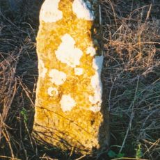
Milestone, Rangers Lawn
1.5 kmVous avez visité ce lieu ? Touchez les étoiles pour le noter et partager votre expérience ou vos photos avec la communauté ! Essayez maintenant ! Vous pouvez annuler à tout moment.
Trouvez des trésors cachés à chaque coin de rue !
Des petits cafés pittoresques aux points de vue planqués, fuyez la foule et dénichez les lieux qui vous ressemblent vraiment. Notre app vous facilite la vie : recherche vocale, filtres malins, itinéraires optimisés et bons plans partagés par des voyageurs du monde entier. Téléchargez vite pour vivre l'aventure en version mobile !

Une approche inédite de la découverte touristique❞
— Le Figaro
Tous les lieux qui valent la peine d'être explorés❞
— France Info
Une excursion sur mesure en quelques clics❞
— 20 Minutes