
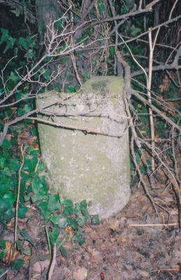
Milepost, road beside South Marston Trading Estate, milepost in Stanton Fitzwarren, Swindon, UK
Emplacement : Swindon
Création : 20e siècle
Coordonnées GPS : 51.60288,-1.74049
Dernière mise à jour : 3 mars 2025 à 10:57
Church of St Margaret
2.3 km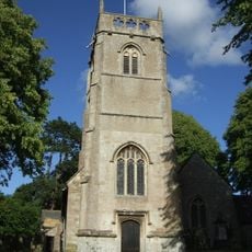
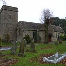
Church of St Leonard
3.1 km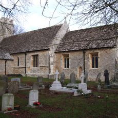
Church of St John the Baptist
3.4 km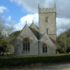
Church of St Leonard
771 m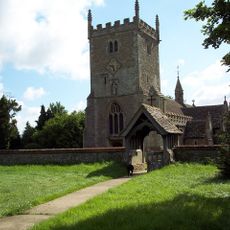
Church of St Mary Magdalen
2 km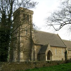
Church of St James
3.1 km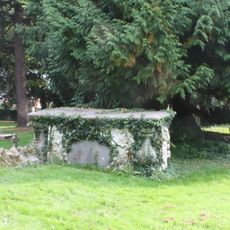
Churchyard Tomb Of Susanah Nicholas Van Acker Of Erith
2.3 km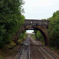
Roman Road Bridge (MLN1/75 08)
2.9 km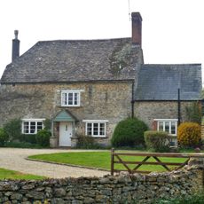
36, Sevenhampton
2.7 km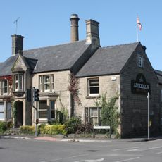
Arkells Brewery House Brewery House
1.9 km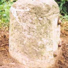
Milestone To West Of Dinton
3.1 km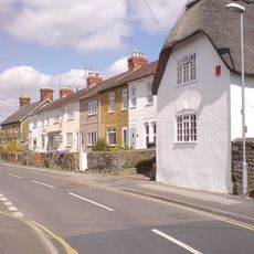
19, Green Road
2.7 km
Sevenhampton House
3 km
73, Swindon Road
2.5 km
41, Green Road
2.8 km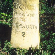
Milestone
2.2 km
21, Green Road
2.7 km
Milestone Opposite No 10
3.3 km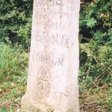
Milestone On B4019
2.2 km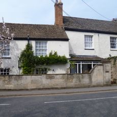
24, Cricklade Road
3.5 km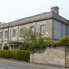
Westrop House And West Service Extension To Westrop House
3.6 km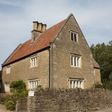
Church Farmhouse
2.4 km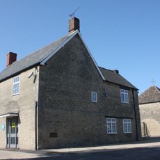
Pigeon House To Rear Of Premises Of Coventry Drafting Company
2.3 km
The Wheatsheaf
2.4 km
Former Primary School
3.5 km
Milestone Opposite St Philip's Road
2.4 km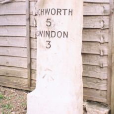
Milestone, Lower Stratton, outside No. 161 Swindon Road
3.1 km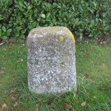
Milestone, Cricklade Road, W of cemetary. opp. "The Spinney"
3.1 kmVous avez visité ce lieu ? Touchez les étoiles pour le noter et partager votre expérience ou vos photos avec la communauté ! Essayez maintenant ! Vous pouvez annuler à tout moment.
Trouvez des trésors cachés à chaque coin de rue !
Des petits cafés pittoresques aux points de vue planqués, fuyez la foule et dénichez les lieux qui vous ressemblent vraiment. Notre app vous facilite la vie : recherche vocale, filtres malins, itinéraires optimisés et bons plans partagés par des voyageurs du monde entier. Téléchargez vite pour vivre l'aventure en version mobile !

Une approche inédite de la découverte touristique❞
— Le Figaro
Tous les lieux qui valent la peine d'être explorés❞
— France Info
Une excursion sur mesure en quelques clics❞
— 20 Minutes