
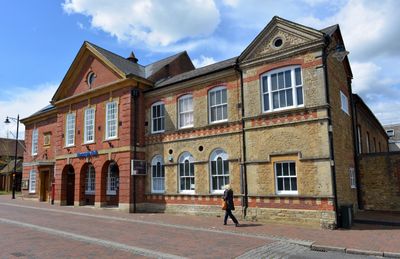
Godalming Borough Hall, town hall in Godalming, Surrey, England, UK
Emplacement : Godalming
Coordonnées GPS : 51.18690,-0.60940
Dernière mise à jour : 8 mars 2025 à 08:52
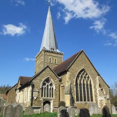
Church of St. Peter & St. Paul, Godalming
468 m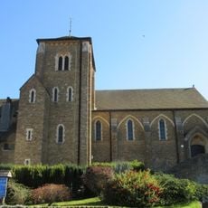
St Edmund Church, Godalming
554 m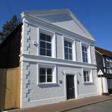
Salvation Army Hall, Godalming
519 m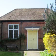
Godalming Friends Meeting House
597 m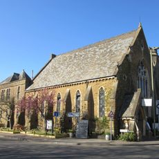
Godalming Congregational Church
56 m
Godalming United Church
288 m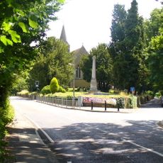
Busbridge War Memorial
1.2 km
Godalming Museum
463 m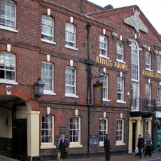
Kings Arms Royal Hotel
165 m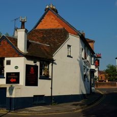
The Rose And Crown Public House
553 m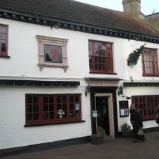
The Red Lion Public House
507 m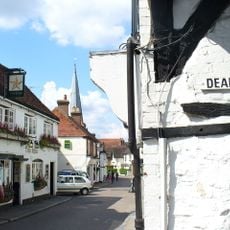
The Star Public House
457 m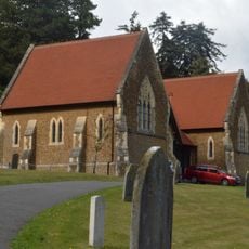
Cemetery Chapels
668 m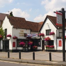
The Three Lions
752 m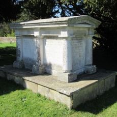
Holland Monument, Approximately 24 Metres North Of North East Corner Of North Chapel Of Church Of St Peter And St Paul
446 m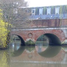
Town Bridge
122 m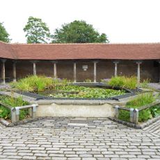
Phillips Memorial Cloister
492 m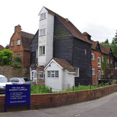
The Old Mill
630 m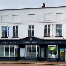
Dressmakers' Den Godalming Museum
464 m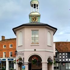
The Pepper Pot
459 m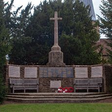
Godalming War Memorial
457 m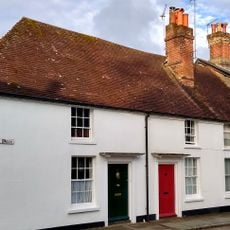
7, 8 And 9, Deanery Place
463 m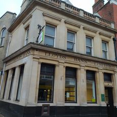
Lloyds Bank
285 m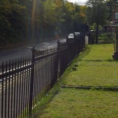
Cemetery Railings And Gates
631 m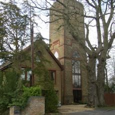
Water Tower, At Junction With Frith Hill Road Water Tower, At Junction With Knoll Road
775 m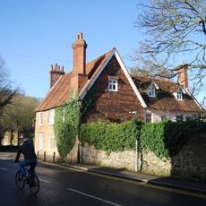
The Vicarage
520 m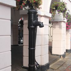
Pump Set On South Side Of The Pepper Pot
463 m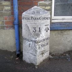
Milestone, Meadrow, by No. 10 & beside motorbike shop
494 mVous avez visité ce lieu ? Touchez les étoiles pour le noter et partager votre expérience ou vos photos avec la communauté ! Essayez maintenant ! Vous pouvez annuler à tout moment.
Trouvez des trésors cachés à chaque coin de rue !
Des petits cafés pittoresques aux points de vue planqués, fuyez la foule et dénichez les lieux qui vous ressemblent vraiment. Notre app vous facilite la vie : recherche vocale, filtres malins, itinéraires optimisés et bons plans partagés par des voyageurs du monde entier. Téléchargez vite pour vivre l'aventure en version mobile !

Une approche inédite de la découverte touristique❞
— Le Figaro
Tous les lieux qui valent la peine d'être explorés❞
— France Info
Une excursion sur mesure en quelques clics❞
— 20 Minutes