
Caer Fach, hill (413.2m) in Powys
Emplacement : Powys
Altitude : 413,2 m
Coordonnées GPS : 52.01915,-3.44536
Dernière mise à jour : 6 mars 2025 à 21:12

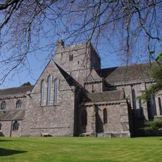
Cathédrale de Brecon
8.4 km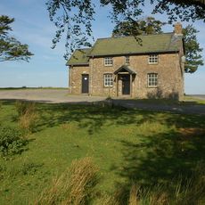
Mynydd Epynt
7.2 km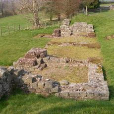
Brecon Gaer Roman Fort
7 km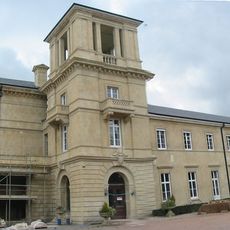
Penoyre House
5.6 km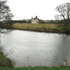
Newton House
8.3 km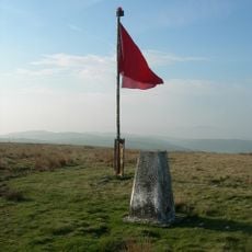
Cefn Trum yr Hwch
4 km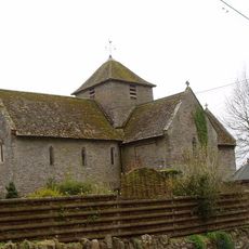
Church of Saint David
7.4 km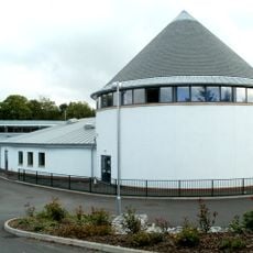
Priory Church in Wales School
8.3 km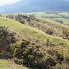
Pen-y-Crug
6.6 km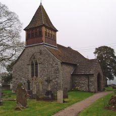
Church of Saint Mary
8.1 km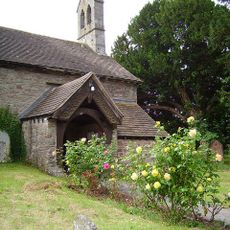
Church of St Cattwg
8.5 km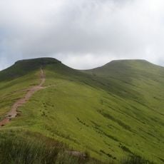
Corn y Fan
2.7 km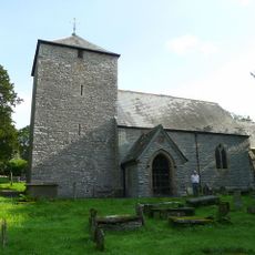
St Maelog's Church
4.9 km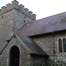
Church Of Saint Cynog
2.6 km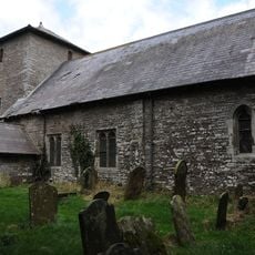
Church Of Saint David
4.8 km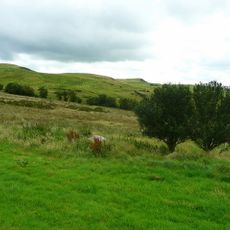
Gaer Fach, Merthyr Cynog
20 m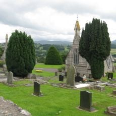
Cemetery Chapel (NW)
8 km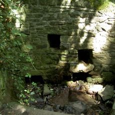
Priory Well
8.4 km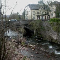
Priory Bridge
8.5 km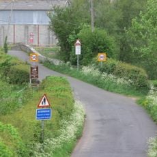
Aberbran Bridge / Pont Aberbran
7.8 km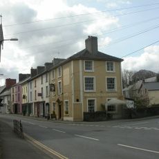
Bull's Head
8.5 km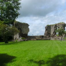
Llanddew Castle
7.4 km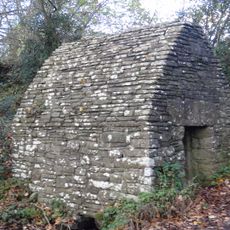
Maen-Du Well
7.6 km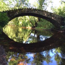
Bridge over Nant Bran near Aberbran-fach Farm
7.6 km
Priory Lodge
8.4 km
The Canonry And Vestries, Cathedral Of St John The Baptist
8.4 km
Nos.35 & 36 The Struet, Brecon
8.5 km
Community Centre, including Boundary and Retaining Walls
8.3 kmVous avez visité ce lieu ? Touchez les étoiles pour le noter et partager votre expérience ou vos photos avec la communauté ! Essayez maintenant ! Vous pouvez annuler à tout moment.
Trouvez des trésors cachés à chaque coin de rue !
Des petits cafés pittoresques aux points de vue planqués, fuyez la foule et dénichez les lieux qui vous ressemblent vraiment. Notre app vous facilite la vie : recherche vocale, filtres malins, itinéraires optimisés et bons plans partagés par des voyageurs du monde entier. Téléchargez vite pour vivre l'aventure en version mobile !

Une approche inédite de la découverte touristique❞
— Le Figaro
Tous les lieux qui valent la peine d'être explorés❞
— France Info
Une excursion sur mesure en quelques clics❞
— 20 Minutes