
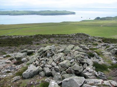
Carnysgubor, hill (101m) in Pembrokeshire
Emplacement : Pembrokeshire
Altitude : 101 m
Coordonnées GPS : 51.87240,-5.34334
Dernière mise à jour : 5 mars 2025 à 19:13
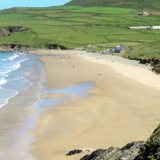
Whitesands Bay
4.1 km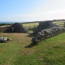
Chapel of St Non
5.1 km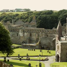
St Davids Bishops Palace
5.1 km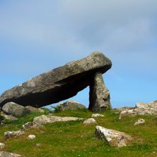
Coetan Arthur
4.3 km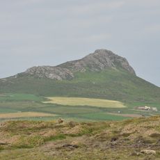
Carn Llidi
5.1 km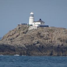
Phare de South Bishop
5.2 km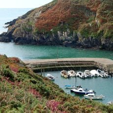
Porthclais
4.3 km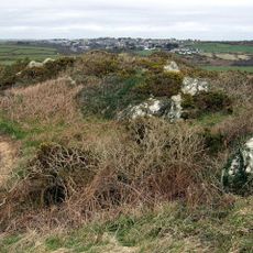
Clegyr Boia
3.8 km
Ynys Gwelltog
2.2 km
Ruins of St. Justinian's Chapel, Porthstinian
2.4 km
Carnllundain
1.2 km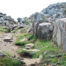
Clawdd y Milwyr
4 km
Midland
2.4 km
Cylch Cerrig Treleddyd Fawr
4.6 km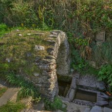
St Non's Well
5.2 km
St Patrick's Chapel, Pembrokeshire
4.3 km
St. David's Cathedral Hall (formerly Chapel Of St.mary's College) & Attached Cloister Ruins,the Cathe
5.3 km
Penporthclais
4.2 km
Ynys Gwelltog
2.2 km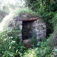
Well-Head opposite Rhosson Farm
3 km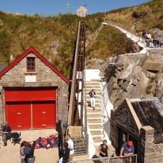
Old Lifeboat House, Porthstinian/St. Justinian's
2.5 km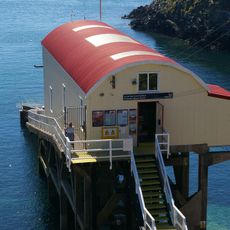
Lifeboat House, St. Justinian's
2.5 km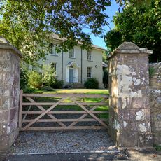
Brecon House
5.2 km
The Farmhouse
1.1 km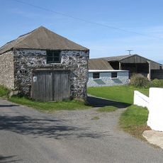
Outbuilding Range On S.Side of Farmyard at Rhosson Ganol,Rhosson
3 km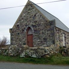
Bethel Chapel
3.1 km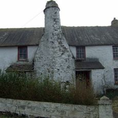
Rhosson Uchaf/Rhosson Farmhouse
3 km
The Close Wall (formerly Listed With Porth Y Twr) The Cathedral Close
5.2 kmVous avez visité ce lieu ? Touchez les étoiles pour le noter et partager votre expérience ou vos photos avec la communauté ! Essayez maintenant ! Vous pouvez annuler à tout moment.
Trouvez des trésors cachés à chaque coin de rue !
Des petits cafés pittoresques aux points de vue planqués, fuyez la foule et dénichez les lieux qui vous ressemblent vraiment. Notre app vous facilite la vie : recherche vocale, filtres malins, itinéraires optimisés et bons plans partagés par des voyageurs du monde entier. Téléchargez vite pour vivre l'aventure en version mobile !

Une approche inédite de la découverte touristique❞
— Le Figaro
Tous les lieux qui valent la peine d'être explorés❞
— France Info
Une excursion sur mesure en quelques clics❞
— 20 Minutes