
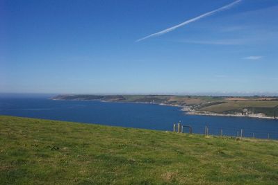
Erme Estuary Marine Conservation Zone, UK marine area established to protect nationally important, rare or threatened habitats and species
Création : 31 mai 2019
Coordonnées GPS : 50.30556,-3.95028
Dernière mise à jour : 1 avril 2025 à 11:51
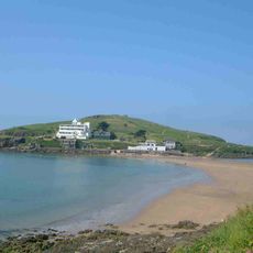
Burgh Island
4.6 km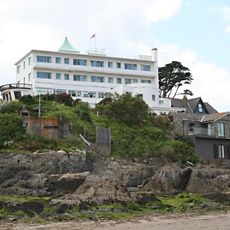
Burgh Island Hotel
4.7 km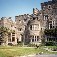
Flete House
4.8 km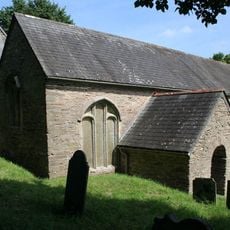
Church of St Peter the Poor Fisherman
4.8 km
Gnaton Hall
4.3 km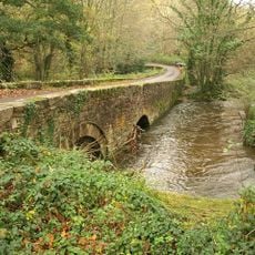
Puslinch Bridge
5.8 km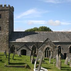
Church of St James the Less
2.5 km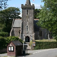
Church of All Hallows
4.1 km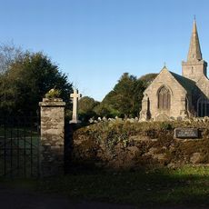
Church of St Lawrence
5.6 km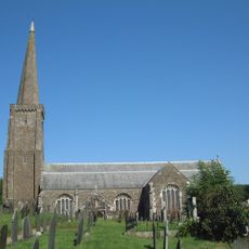
Church of All Saints
3.3 km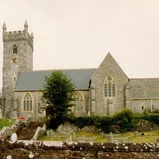
Church of St Bartholomew
5.9 km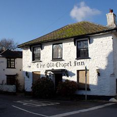
The Old Chapel Inn
5.1 km
Journey's End Inn
4 km
Bridge Approximately 290 Metres North East Of Mothecombe House
1.1 km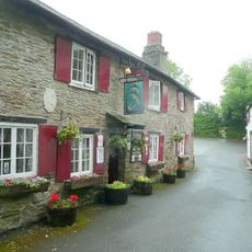
Dolphin Inn
2.5 km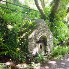
St Mary's Well
4.2 km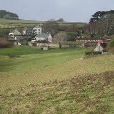
Mothecombe House
992 m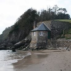
Mothecombe Beach
506 m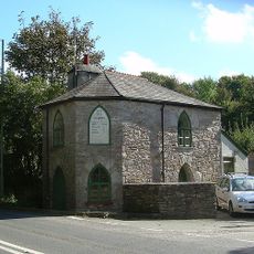
Yealm Bridge Toll House
5.5 km
Flete Lodge
5.4 km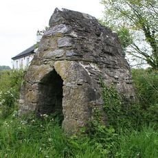
Yealm Bridge Toll Hut
5.5 km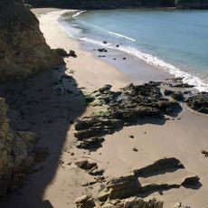
Wonwell Beach
676 m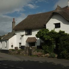
The Old Forge
3 km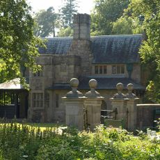
Two Pairs Of Gate Piers And Flanking Walls, Immediately North East Of Flete Lodge
5.4 km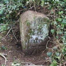
Milestone Approximately 680 Metres East Of Yealm Bridge
5.4 km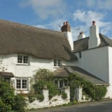
The Farriers
3 km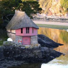
Boathouse At Mouth Of River Avon At Sx 664439
5.9 km
Puslinch House
5.8 kmVous avez visité ce lieu ? Touchez les étoiles pour le noter et partager votre expérience ou vos photos avec la communauté ! Essayez maintenant ! Vous pouvez annuler à tout moment.
Trouvez des trésors cachés à chaque coin de rue !
Des petits cafés pittoresques aux points de vue planqués, fuyez la foule et dénichez les lieux qui vous ressemblent vraiment. Notre app vous facilite la vie : recherche vocale, filtres malins, itinéraires optimisés et bons plans partagés par des voyageurs du monde entier. Téléchargez vite pour vivre l'aventure en version mobile !

Une approche inédite de la découverte touristique❞
— Le Figaro
Tous les lieux qui valent la peine d'être explorés❞
— France Info
Une excursion sur mesure en quelques clics❞
— 20 Minutes