
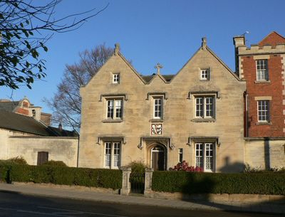
40 Northgate, school building in Sleaford, Lincolnshire, United Kingdom
Emplacement : Sleaford
Fait partie de : Carre's Grammar School
Coordonnées GPS : 53.00195,-0.41059
Dernière mise à jour : 7 mars 2025 à 15:24
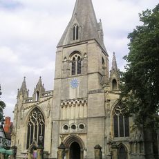
St Denys' Church
273 m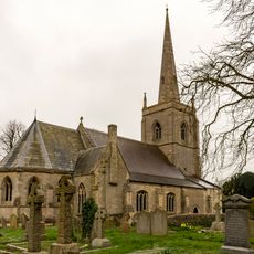
St Botolph's Church
2.1 km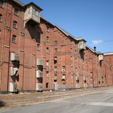
Bass Maltings, Sleaford
1.1 km
Sleaford Castle
650 m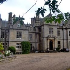
South Rauceby Hall
3.9 km
Manor House
166 m
Westholme House
352 m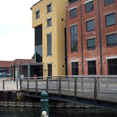
The National Centre for Craft & Design
422 m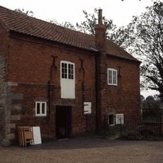
Cogglesford Mill
700 m
The Packhorse Inn
249 m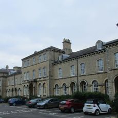
Lafford Terrace
404 m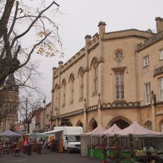
Town Hall (Sessions House)
275 m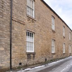
Playhouse, Sleaford
351 m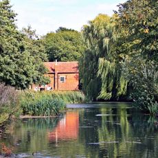
Cogglesford Watermill
700 m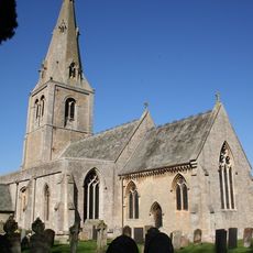
Church of St Andrew
2.6 km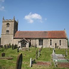
Church of St Denys
3.1 km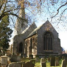
Parish Church of St Denys, Silk Willoughby
3.3 km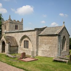
Church of St Mary
2.9 km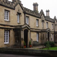
Carre's Hospital. Pump And Sun-dial In The Forecourt And Wall Along Carre Street
332 m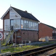
Sleaford East Signal Box
752 m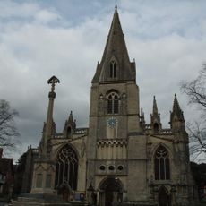
Sleaford, Quarrington and Holdingham War Memorial
275 m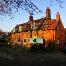
Coggesford Mill Farmhouse
691 m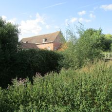
Mill Buildings To Holdingham Farm
2.8 km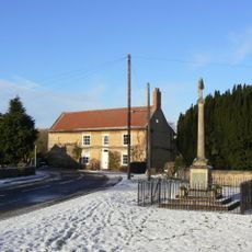
Leasingham War Memorial
2.6 km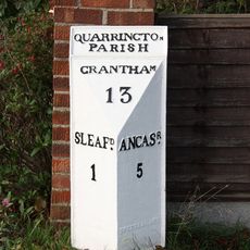
Milepost, Grantham Road, Quarrington, by No. 236
1.8 km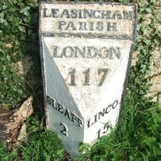
Milepost 3 Metres South Of Hall Farmhouse
2.7 km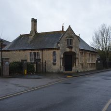
Schoolroom Annexe To Kesteven And Sleaford High School
533 m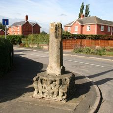
Silk Willoughby village cross
3.4 kmVous avez visité ce lieu ? Touchez les étoiles pour le noter et partager votre expérience ou vos photos avec la communauté ! Essayez maintenant ! Vous pouvez annuler à tout moment.
Trouvez des trésors cachés à chaque coin de rue !
Des petits cafés pittoresques aux points de vue planqués, fuyez la foule et dénichez les lieux qui vous ressemblent vraiment. Notre app vous facilite la vie : recherche vocale, filtres malins, itinéraires optimisés et bons plans partagés par des voyageurs du monde entier. Téléchargez vite pour vivre l'aventure en version mobile !

Une approche inédite de la découverte touristique❞
— Le Figaro
Tous les lieux qui valent la peine d'être explorés❞
— France Info
Une excursion sur mesure en quelques clics❞
— 20 Minutes