
Table tomb about 2 metres north of porch of Church of All Saints
Table tomb about 2 metres north of porch of Church of All Saints, table tomb in Hollingbourne, Kent, UK
Emplacement : Hollingbourne
Coordonnées GPS : 51.26528,0.64081
Dernière mise à jour : 7 juin 2025 à 20:40
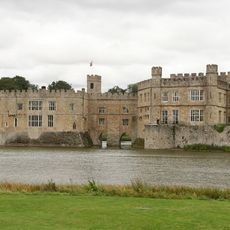
Château de Leeds
2 km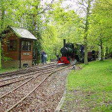
Bredgar and Wormshill Light Railway
4.6 km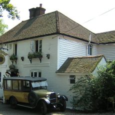
Ringlestone Inn
3.6 km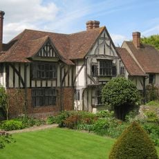
Stoneacre
4.6 km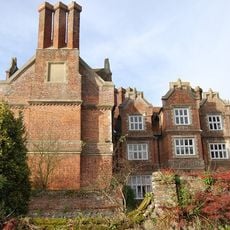
Hollingbourne Manor
183 m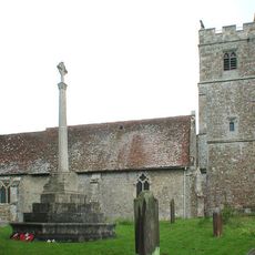
Holy Cross Church, Bearsted
4.2 km
St John the Baptist's Church, Harrietsham
3.8 km
All Saints Church, Hollingbourne
19 m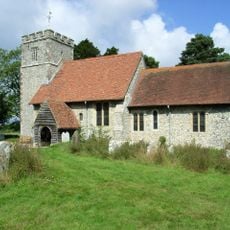
St Giles, Wormshill
4.5 km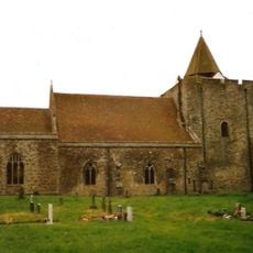
St Nicholas's Church, Leeds
2.5 km
The Park Gate Inn
1.5 km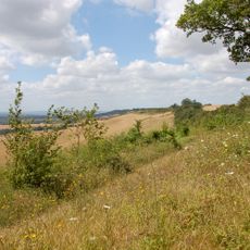
Hollingbourne Downs
1.3 km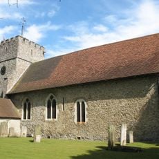
St Mary the Virgin Church, Thurnham
4.7 km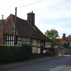
Bell Farm House, Harrietsham
3.9 km
Bredgar & Wormshill Railway
4.5 km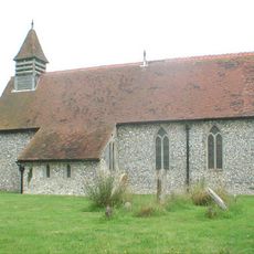
Church of St Margaret
3.2 km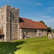
Church of St Margaret
2.6 km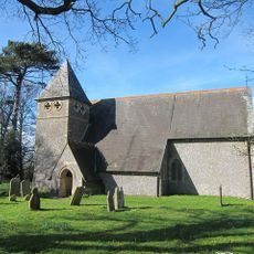
Church of St James
4.1 km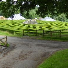
Maze and Grotto
2.3 km
The Blacksmith's Arms Public House
4 km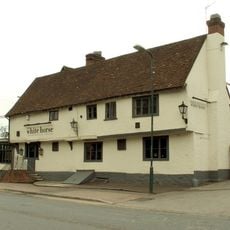
The White Horse
4.4 km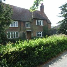
Yew Tree Farmhouse
4 km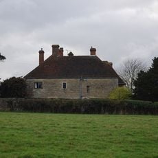
Battel Hall
2.4 km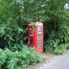
K6 Telephone Kiosk
4.4 km
Manor House
2.8 km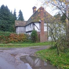
Greenway Forstal Farmhouse
1.9 km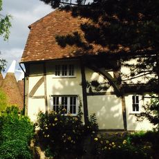
Rose Farmhouse
2.8 km
Milestone, Church Lane, by Mote House
4.3 kmAvis
Vous avez visité ce lieu ? Touchez les étoiles pour le noter et partager votre expérience ou vos photos avec la communauté ! Essayez maintenant ! Vous pouvez annuler à tout moment.
Trouvez des trésors cachés à chaque coin de rue !
Des petits cafés pittoresques aux points de vue planqués, fuyez la foule et dénichez les lieux qui vous ressemblent vraiment. Notre app vous facilite la vie : recherche vocale, filtres malins, itinéraires optimisés et bons plans partagés par des voyageurs du monde entier. Téléchargez vite pour vivre l'aventure en version mobile !

Une approche inédite de la découverte touristique❞
— Le Figaro
Tous les lieux qui valent la peine d'être explorés❞
— France Info
Une excursion sur mesure en quelques clics❞
— 20 Minutes