
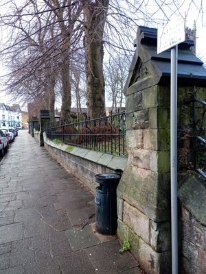
Churchyard walls, gateways and railings to southeast and north of St Mary's Church
Churchyard walls, gateways and railings to southeast and north of St Mary's Church, structures in Sandbach, Cheshire, UK
Emplacement : Sandbach
Coordonnées GPS : 53.14307,-2.36088
Dernière mise à jour : 3 mars 2025 à 20:13
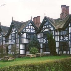
Old Hall Hotel, Sandbach
54 m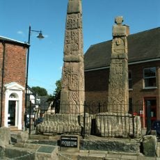
Croix de Sandbach
134 m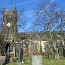
St Mary's Church, Sandbach
60 m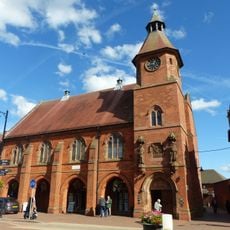
Town Hall and Market Hall
229 m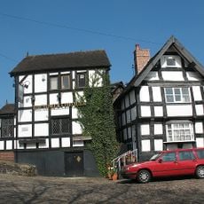
Lower Chequer Inn
130 m
Outbuildings Of Old Hall Hotel
78 m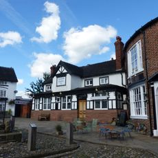
Crown Hotel
148 m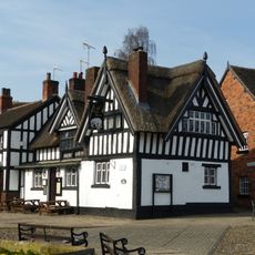
Black Bear Inn
149 m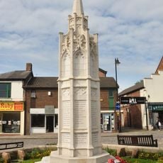
War Memorial
127 m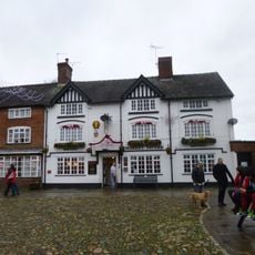
Market Tavern Public House
154 m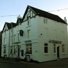
George Hotel
96 m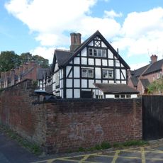
22, Front Street
92 m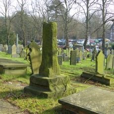
Standing medieval cross 10m south of the nave of St Mary's Church
39 m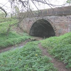
Sandbach Bridge
156 m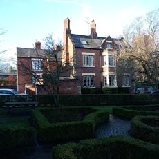
57 And 59, High Street
21 m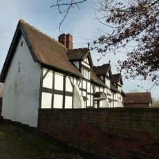
Dingle Farmhouse
163 m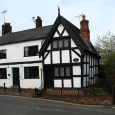
10, Well Bank
170 m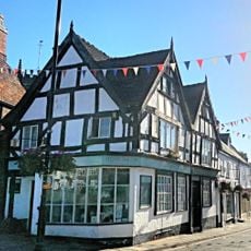
34, High Street
98 m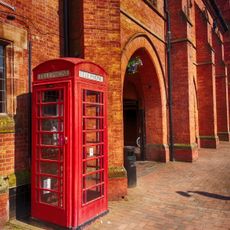
K6 Telephone Kiosk In Front Of The Town Hall
245 m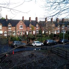
2-20, Front Street
67 m
53 And 55, High Street
32 m
45, High Street
62 m
49 And 51, High Street
42 m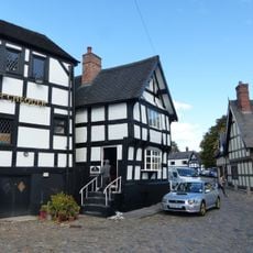
21, Hawk Street
127 m
41, High Street
85 m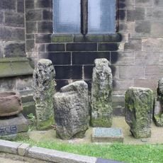
Early medieval sculptural fragments in St Mary's churchyard
60 m
19, Market Square
137 m
9 And 11, Market Square
108 mVous avez visité ce lieu ? Touchez les étoiles pour le noter et partager votre expérience ou vos photos avec la communauté ! Essayez maintenant ! Vous pouvez annuler à tout moment.
Trouvez des trésors cachés à chaque coin de rue !
Des petits cafés pittoresques aux points de vue planqués, fuyez la foule et dénichez les lieux qui vous ressemblent vraiment. Notre app vous facilite la vie : recherche vocale, filtres malins, itinéraires optimisés et bons plans partagés par des voyageurs du monde entier. Téléchargez vite pour vivre l'aventure en version mobile !

Une approche inédite de la découverte touristique❞
— Le Figaro
Tous les lieux qui valent la peine d'être explorés❞
— France Info
Une excursion sur mesure en quelques clics❞
— 20 Minutes