
Former oasthouse about 12 metres east south east of Boughton Place
Former oasthouse about 12 metres east south east of Boughton Place, oast house in Boughton Malherbe, Kent, UK
Emplacement : Boughton Malherbe
Coordonnées GPS : 51.21479,0.69387
Dernière mise à jour : 23 novembre 2025 à 02:31
Chilston Park
1.3 km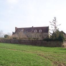
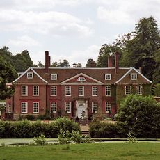
Boughton Place
47 m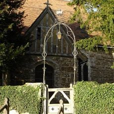
Church of St Nicholas
68 m
The Kings Head Public House
1.1 km
Lewsome Farmhouse
794 m
Cherry Tree Cottage Lavender Cottage Rosemary Cottage
1.2 km
Churchill Cottage
891 m
Ridding House
1.1 km
Stream Farmhouse
955 m
Plough House
908 m
Oast House At Tq 870 499
1.3 km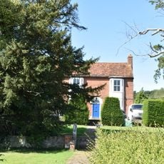
Marchant Farmhouse
1.3 km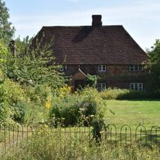
The Homestead
1.3 km
Oast House Circa 15 Yards North Of Elmstone Hole Farmhouse
1.3 km
24, 26, 28A And 28B, Lenham Road
1.2 km
Ivy House Farm
916 m
Liberton Hall and Liberton Cottage
1.1 km
Hazel Hill Cottage
1.3 km
1 and 2, Liverton Street
916 m
Elmstone Farmhouse
1.3 km
Dunromin Fermor Cottage Fermors Cottage
1.2 km
Elmstone Hole Farmhouse
1.3 km
Mansion Farmhouse
893 m
Bowley Cottage Bowley Hall Cottage
928 m
The Old Rectory
255 m
The Cottage
27 m
Former Coachman's cottages about 30 metres West of Chilston Park
1.3 km
Stables and Mounting Block about 30 metres North West of Chilston Park
1.3 kmAvis
Vous avez visité ce lieu ? Touchez les étoiles pour le noter et partager votre expérience ou vos photos avec la communauté ! Essayez maintenant ! Vous pouvez annuler à tout moment.
Trouvez des trésors cachés à chaque coin de rue !
Des petits cafés pittoresques aux points de vue planqués, fuyez la foule et dénichez les lieux qui vous ressemblent vraiment. Notre app vous facilite la vie : recherche vocale, filtres malins, itinéraires optimisés et bons plans partagés par des voyageurs du monde entier. Téléchargez vite pour vivre l'aventure en version mobile !

Une approche inédite de la découverte touristique❞
— Le Figaro
Tous les lieux qui valent la peine d'être explorés❞
— France Info
Une excursion sur mesure en quelques clics❞
— 20 Minutes