
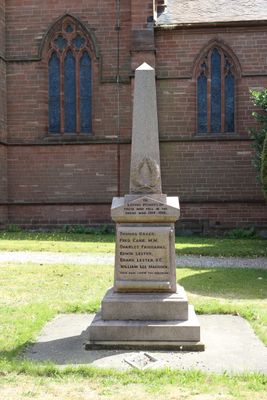
Thurstaston War Memorial, war memorial in Wirral, UK
Emplacement : Wirral
Coordonnées GPS : 53.34869,-3.13223
Dernière mise à jour : 8 avril 2025 à 02:26
Wirral Country Park
1.1 km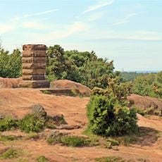
Thurstaston Common
726 m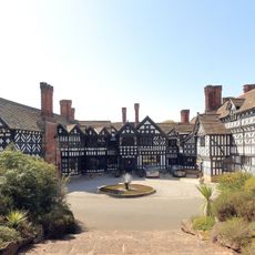
Hill Bark
1.7 km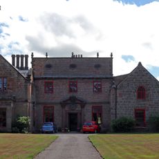
Thurstaston Hall
65 m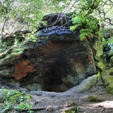
The Dungeon SSSI
2.2 km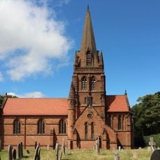
St. Bartholomew's Church, Thurstaston
23 m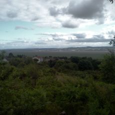
Heswall Dales
2.3 km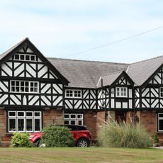
Irby Hall
888 m
Dee Cliffs
1.4 km
Cleaver Heath Nature Reserve
2.1 km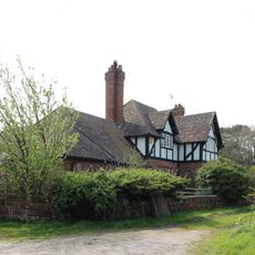
Hill Bark Farmhouse
1.8 km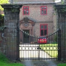
Gatepiers To North Of Thurstaston Hall
30 m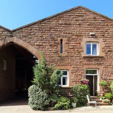
Barn To Dawpool Farm, To West Of Other Buildings Granary To Dawpool Farm, To West Of Other Buildings
191 m
Manor Farmhouse
2.3 km
Dawpool Farmhouse
141 m
Banks Farmhouse, Caldy
2.3 km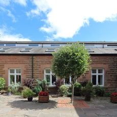
Cattle Sheds Incorporating Smithy And Implement Shed At Dawpool Farm
160 m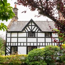
Dee Haven
2.4 km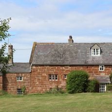
Oldfield Farmhouse
1.5 km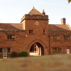
The Clock Tower
173 m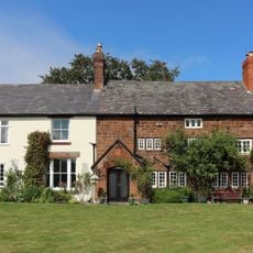
Pensby Hall
2.2 km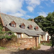
Former Thurstaston School
120 m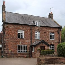
Irby Farmhouse
979 m
South Lodge with Attached Gates and Gate Piers
183 m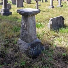
Sundial approximately 40 metres to south of St Bartholomew's Church
61 m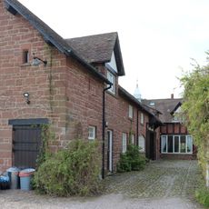
Outbuildings at Hill Bark Farm
1.7 km
96, Caldy Road
2.4 km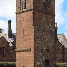
Tower of former church of St Bartholomew
54 mVous avez visité ce lieu ? Touchez les étoiles pour le noter et partager votre expérience ou vos photos avec la communauté ! Essayez maintenant ! Vous pouvez annuler à tout moment.
Trouvez des trésors cachés à chaque coin de rue !
Des petits cafés pittoresques aux points de vue planqués, fuyez la foule et dénichez les lieux qui vous ressemblent vraiment. Notre app vous facilite la vie : recherche vocale, filtres malins, itinéraires optimisés et bons plans partagés par des voyageurs du monde entier. Téléchargez vite pour vivre l'aventure en version mobile !

Une approche inédite de la découverte touristique❞
— Le Figaro
Tous les lieux qui valent la peine d'être explorés❞
— France Info
Une excursion sur mesure en quelques clics❞
— 20 Minutes