
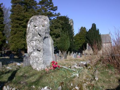
Hutton Roof War Memorial, war memorial in Hutton Roof, South Lakeland, Cumbria, UK
Emplacement : Hutton Roof
Coordonnées GPS : 54.20259,-2.66152
Dernière mise à jour : 6 mars 2025 à 18:20
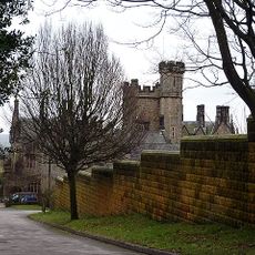
Whittington Hall
3.7 km
Hutton Roof Crags
1.9 km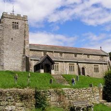
St Michael's Church, Whittington
3.9 km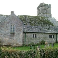
St John's Church, Hutton Roof
58 m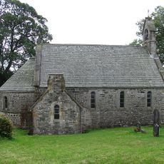
All Saints Church, Lupton
2.2 km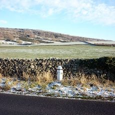
Milepost Approximately 300 Metres North Of Holme Park
4 km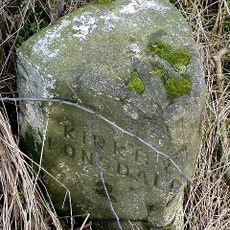
Milestone Approximately 650 Yards North West Of Tearnside Hall
1.8 km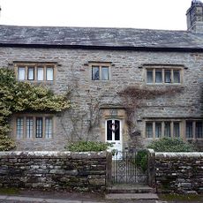
Manor House
3.9 km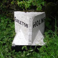
Boundary Stone Approximately 500 Metres South South West Of Townend Farm
4 km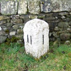
Milestone, Kearstwick, N end of village
3.8 km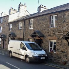
8 And 12, Fairbank
4 km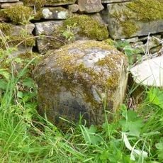
Boundary Stone Between Dalton And Hutton Roof
2.3 km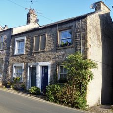
19 And 21, Mitchelgate
4 km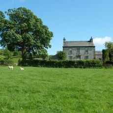
Spout House Farmhouse
3.7 km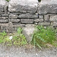
Boundary Stone Approximately 300 Metres South East Of Spout House Farmhouse
3.4 km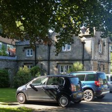
Abbeyfield Lodge
4 km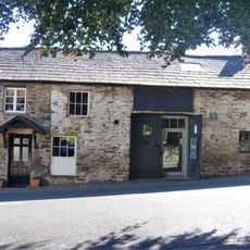
Number 18 And Smithy
4 km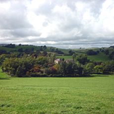
Sellet Hall
3.4 km
Milestone Approximately 75 Metres North Of Summerdale House
4 km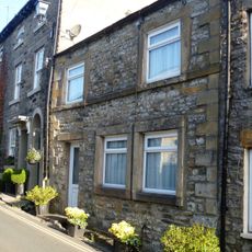
31, Mitchelgate
4 km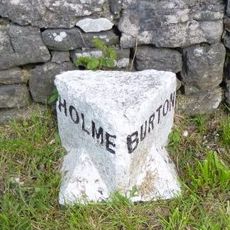
Boundary Stone Between Parishes Of Holme And Burton
4 km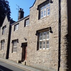
17 And 19, Fairbank
4 km
Biggins Hall Farmhouse
3.2 km
The Gables
4 km
14 And 16, Fairbank
4 km
17, Mitchelgate
4 km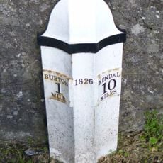
Milepost, S of B6384 jcn, just N of football pitch
4 km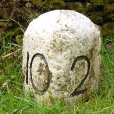
Milestone, between Kearstwick & Old Town
3.9 kmVous avez visité ce lieu ? Touchez les étoiles pour le noter et partager votre expérience ou vos photos avec la communauté ! Essayez maintenant ! Vous pouvez annuler à tout moment.
Trouvez des trésors cachés à chaque coin de rue !
Des petits cafés pittoresques aux points de vue planqués, fuyez la foule et dénichez les lieux qui vous ressemblent vraiment. Notre app vous facilite la vie : recherche vocale, filtres malins, itinéraires optimisés et bons plans partagés par des voyageurs du monde entier. Téléchargez vite pour vivre l'aventure en version mobile !

Une approche inédite de la découverte touristique❞
— Le Figaro
Tous les lieux qui valent la peine d'être explorés❞
— France Info
Une excursion sur mesure en quelques clics❞
— 20 Minutes