
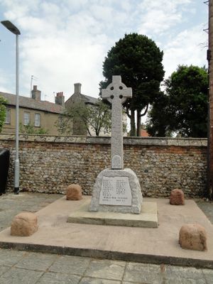
Stoke Ferry War Memorial, war memorial in Stoke Ferry, King's Lynn and West Norfolk, Norfolk, UK
Emplacement : Stoke Ferry
Coordonnées GPS : 52.57026,0.51344
Dernière mise à jour : 5 mars 2025 à 07:33
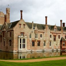
Oxburgh Hall
4 km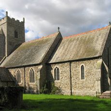
Church of All Saints
2.4 km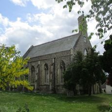
Church of All Saints
26 m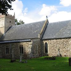
Church of St Margaret
2.9 km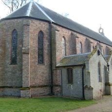
Church of the Immaculate Conception of the Blessed Virgin Mary and St Margaret
3.9 km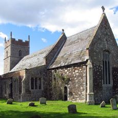
Church of All Saints
1.4 km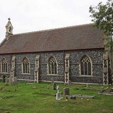
Christchurch
1.4 km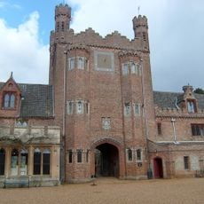
Park Boundary Wall Including Tower And Gateway
3.8 km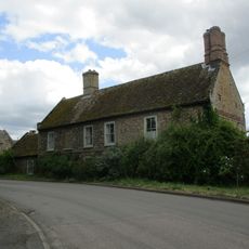
Canterbury House
66 m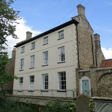
Park House Including Stable Yard To East
48 m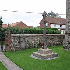
Boughton War Memorial
2.4 km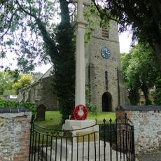
Wereham War Memorial
2.9 km
Cobbles
80 m
Crown House
30 m
All Saints Lodge
33 m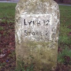
Milestone, opp. village hall, Church Rd
3 km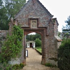
Pedestrian Gateway Approximately 70 Metres North East Of Oxburgh Hall
4.1 km
The Old Granary
68 m
Hall Farmhouse
4.1 km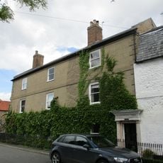
The Surgery
113 m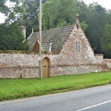
Chapel Lodge
3.9 km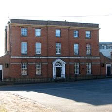
Stoke Ferry Hall
37 m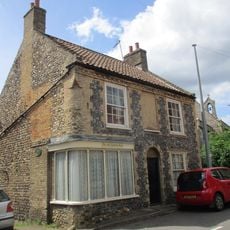
The Old Chemists Shop
63 m
Former Stables, Coach House And Attached Gate Posts
4.1 km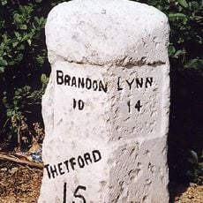
Milestone, Bridge Rd 20yds S of Hawthorn Lodge
298 m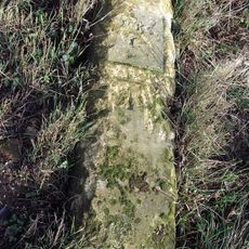
Milestone, Methwold Rd, Whittington
1.8 km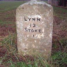
Milestone, Lynn Road, by 'The Four Winds',
1.5 km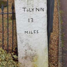
Milestone, Opposite The Blue Bell
400 mVous avez visité ce lieu ? Touchez les étoiles pour le noter et partager votre expérience ou vos photos avec la communauté ! Essayez maintenant ! Vous pouvez annuler à tout moment.
Trouvez des trésors cachés à chaque coin de rue !
Des petits cafés pittoresques aux points de vue planqués, fuyez la foule et dénichez les lieux qui vous ressemblent vraiment. Notre app vous facilite la vie : recherche vocale, filtres malins, itinéraires optimisés et bons plans partagés par des voyageurs du monde entier. Téléchargez vite pour vivre l'aventure en version mobile !

Une approche inédite de la découverte touristique❞
— Le Figaro
Tous les lieux qui valent la peine d'être explorés❞
— France Info
Une excursion sur mesure en quelques clics❞
— 20 Minutes