
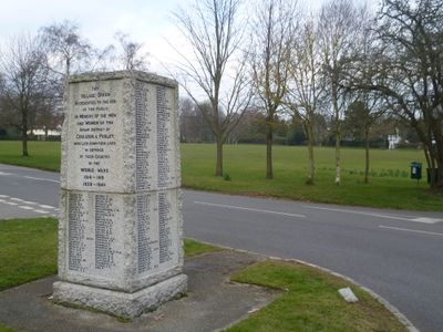
Woodcote War Memorial, war memorial in Croydon, London, UK
Emplacement : London Borough of Croydon
Coordonnées GPS : 51.33369,-0.13784
Dernière mise à jour : 3 mars 2025 à 01:10
Oaks Park
2 km
Riddlesdown Common
3.3 km
Foxley Wood
1.8 km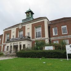
Wallington Town Hall
2.8 km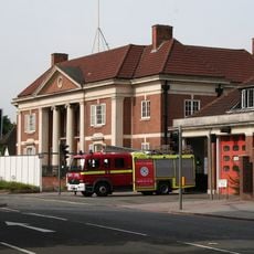
Purley Council Offices Including Attached Railings
888 m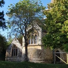
Church of All Saints
3 km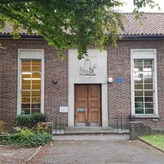
Purley Library
1.5 km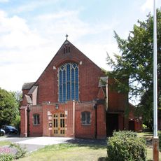
Church of St Michael and All Angels
2.8 km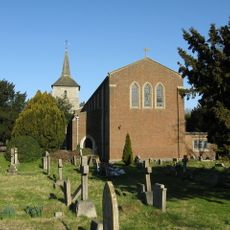
Church of St John the Evangelist
3.2 km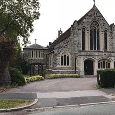
Church of St Mark
1.4 km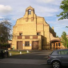
Church of the Good Shepherd
3 km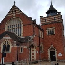
Purley United Reformed Church, Formerly Purley Congregational Church
1.7 km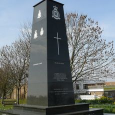
Croydon Aerodrome Battle of Britain Memorial
2.3 km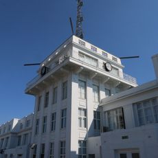
Airport House
2.9 km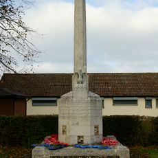
Old Coulsdon War Memorial
3.2 km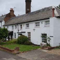
Purley Bury
2.7 km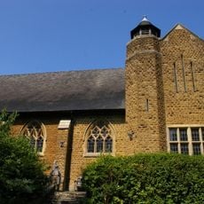
St. James' Riddlesdown
2.2 km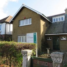
40, Beeches Avenue
3.3 km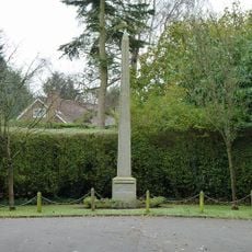
Promenade de Verdun War Memorial
357 m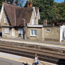
Kenley Station House (Original 1856 Building)
2.7 km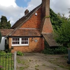
The Old Forge
2.8 km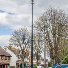
Number 10 Sewer Ventilation Column at the junction of Grovesnor Road and Glebe Road
3.3 km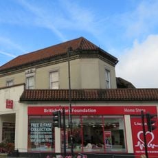
120, Woodcote Road
2.8 km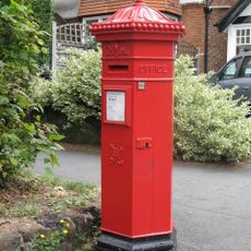
Pillar Box Outside Number 56
3.3 km
Number 3 Sewer Ventilation Column on the railway bridge on Boundary Road
3.1 km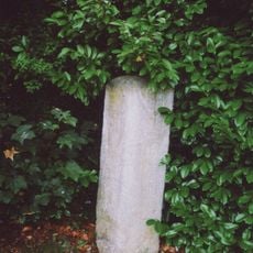
Milestone, Grounds of Purley Memorial Hospital
1.7 km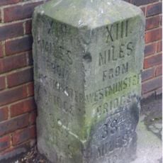
Milestone, Brighton Road, Coulsdon near Milestone Drive
869 m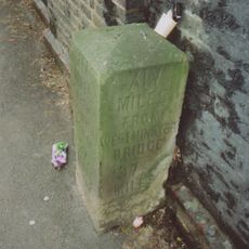
Milestone, Brighton Road, Coulsdon, under railway bridge
1.9 kmVous avez visité ce lieu ? Touchez les étoiles pour le noter et partager votre expérience ou vos photos avec la communauté ! Essayez maintenant ! Vous pouvez annuler à tout moment.
Trouvez des trésors cachés à chaque coin de rue !
Des petits cafés pittoresques aux points de vue planqués, fuyez la foule et dénichez les lieux qui vous ressemblent vraiment. Notre app vous facilite la vie : recherche vocale, filtres malins, itinéraires optimisés et bons plans partagés par des voyageurs du monde entier. Téléchargez vite pour vivre l'aventure en version mobile !

Une approche inédite de la découverte touristique❞
— Le Figaro
Tous les lieux qui valent la peine d'être explorés❞
— France Info
Une excursion sur mesure en quelques clics❞
— 20 Minutes