
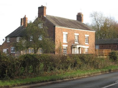
Old Hall Farmhouse, Grade II listed building in Bostock, Cheshire, UK
Emplacement : Bostock
Coordonnées GPS : 53.20290,-2.47980
Dernière mise à jour : 3 mars 2025 à 07:03
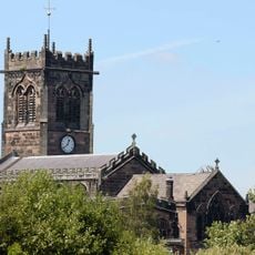
St Michael and All Angels, Middlewich
2.6 km
Bostock Hall
920 m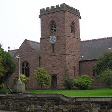
Christ Church, Wharton
1.9 km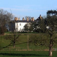
Ravenscroft Hall
2.3 km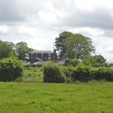
Stanthorne Hall
879 m
10, Hightown
2.6 km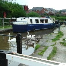
Trent and Mersey Canal, Big Lock and footbridge
2.2 km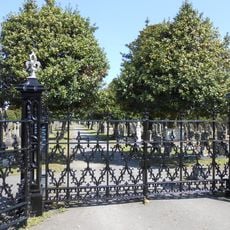
Gates and railings to Middlewich Cemetery
2.1 km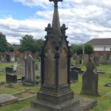
Cooke family tomb in Middlewich Cemetery circa 80 metres south of mortuary chapels
2.1 km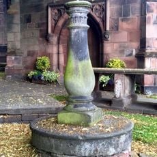
Sundial south of west bay of Church of St Michael and All Angels, Middlewich
2.6 km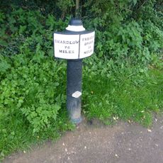
Trent and Mersey Canal, canal milepost at NGR 698 670
1.8 km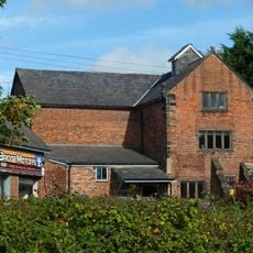
Kinderton Mill
2.7 km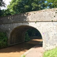
Middlewich Branch of Shropshire Union Canal: Bridge Number 28 carrying footpath over canal
2.6 km
25, Queen Street
2.6 km
28, Wheelock Street
2.4 km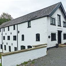
Stanthorne Mill
1.9 km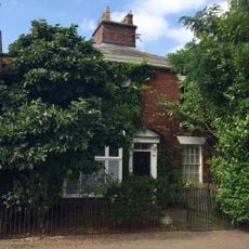
8, Southway
2.4 km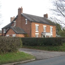
Bank Farmhouse
224 m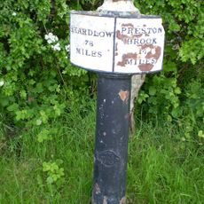
Trent And Mersey Canal Milepost At Sj 6805 6928
1.8 km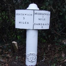
Milepost
771 m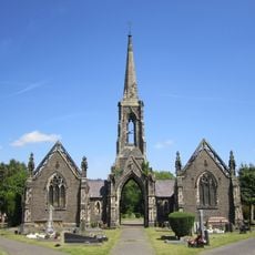
Mortuary chapels, archway and spire in Middlewich Cemetery
2 km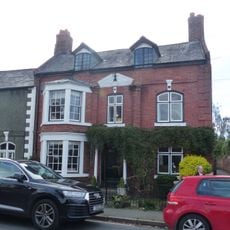
64, St Ann's Road
2.5 km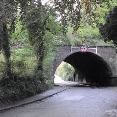
Nantwich Road Aqueduct
2.3 km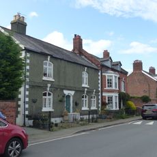
66, St Ann's Road
2.5 km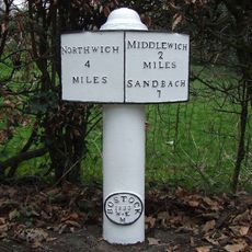
Milepost, Bostock Road
869 m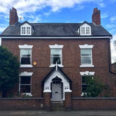
62, St Ann's Road
2.5 km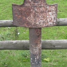
Milepost, S of Sheriff House
2.5 km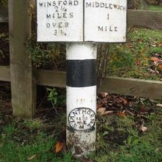
Milepost, E of Birch Lane jct
975 mAvis
Vous avez visité ce lieu ? Touchez les étoiles pour le noter et partager votre expérience ou vos photos avec la communauté ! Essayez maintenant ! Vous pouvez annuler à tout moment.
Trouvez des trésors cachés à chaque coin de rue !
Des petits cafés pittoresques aux points de vue planqués, fuyez la foule et dénichez les lieux qui vous ressemblent vraiment. Notre app vous facilite la vie : recherche vocale, filtres malins, itinéraires optimisés et bons plans partagés par des voyageurs du monde entier. Téléchargez vite pour vivre l'aventure en version mobile !

Une approche inédite de la découverte touristique❞
— Le Figaro
Tous les lieux qui valent la peine d'être explorés❞
— France Info
Une excursion sur mesure en quelques clics❞
— 20 Minutes