
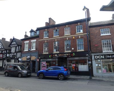
26 High Street, Grade II listed building in Congleton, Cheshire, UK
Emplacement : Congleton
Site web : https://hotspot-congleton.co.uk
Coordonnées GPS : 53.16279,-2.21130
Dernière mise à jour : 3 mars 2025 à 04:04
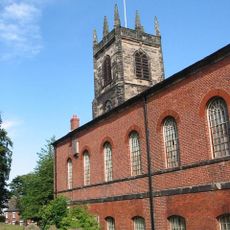
St Peter's Church, Congleton
112 m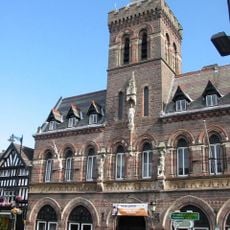
Congleton Town Hall
38 m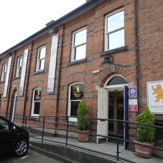
Congleton Museum
70 m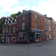
8–12 High Street
57 m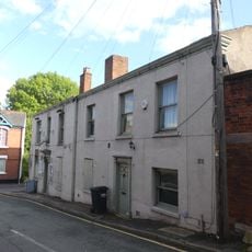
2 and 4, Chapel Street
66 m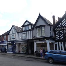
16–20 High Street
25 m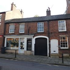
25 Lawton Street
175 m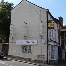
52 High Street
83 m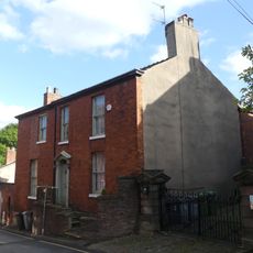
6 Chapel Street
70 m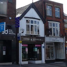
42 High Street
51 m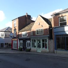
28 and 28A Lawton Street
174 m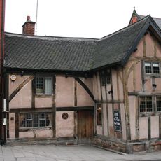
Ye Olde King's Arms public house
72 m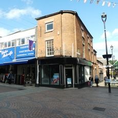
13, Bridge Street
176 m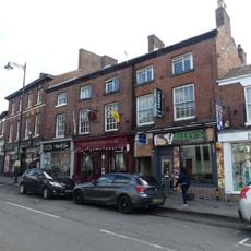
28-32 High Street
14 m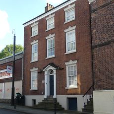
33 Lawton Street
201 m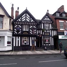
Ye Olde White Lion Public House
12 m
23 Lawton Street
163 m
Chapel House
87 m
Bradshaw House
149 m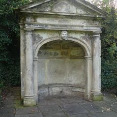
Garden Shelter south of Bradshaw House
189 m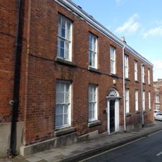
3 Chapel Street
54 m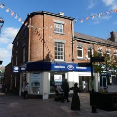
11, Bridge Street
165 m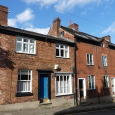
5 and 7 Chapel Street
57 m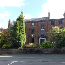
Homefield
81 m
Paved area of Cockshuts on south and west sides of St Peters Churchyard
152 m
1–5, Bridge Street
144 m
31 Lawton Street
193 m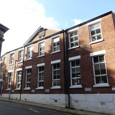
Former National Sunday School
109 mAvis
Vous avez visité ce lieu ? Touchez les étoiles pour le noter et partager votre expérience ou vos photos avec la communauté ! Essayez maintenant ! Vous pouvez annuler à tout moment.
Trouvez des trésors cachés à chaque coin de rue !
Des petits cafés pittoresques aux points de vue planqués, fuyez la foule et dénichez les lieux qui vous ressemblent vraiment. Notre app vous facilite la vie : recherche vocale, filtres malins, itinéraires optimisés et bons plans partagés par des voyageurs du monde entier. Téléchargez vite pour vivre l'aventure en version mobile !

Une approche inédite de la découverte touristique❞
— Le Figaro
Tous les lieux qui valent la peine d'être explorés❞
— France Info
Une excursion sur mesure en quelques clics❞
— 20 Minutes