
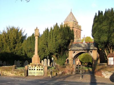
Christleton War Memorial, Grade II listed building in Christleton, Cheshire, UK
Emplacement : Christleton
Création : 1920
Coordonnées GPS : 53.18528,-2.83814
Dernière mise à jour : 2 mars 2025 à 23:03
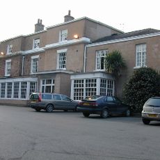
Rowton Hall Hotel
1.5 km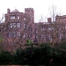
Walmoor Hill
2.1 km
St James' Church, Christleton
37 m
Boughton Hall
1.7 km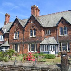
31 and 33 Dee Banks, Chester
2 km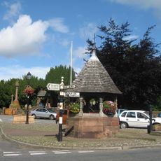
Memorial shelter
34 m
1, 3 and 5, Christleton Road
2.3 km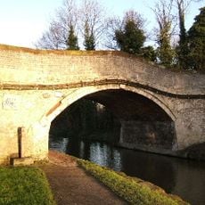
Canal bridge No 122
416 m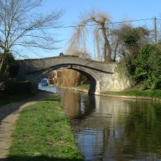
Canal Bridge No. 120
670 m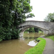
Quarry Bridge, Canal Bridge No. 121
337 m
Chemistry Lock and sluice
2.2 km
Rock House and attached shop
42 m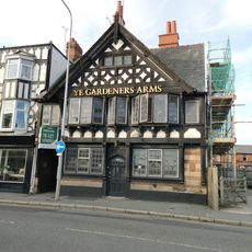
Ye Gardeners Arms Public House
2.2 km
Sewer vent at junction with Filkins Lane
1.8 km
Milepost 50 Metres East Of Boughton Gyratory
2.1 km
Dixon's Almshouses
324 m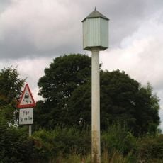
Hydraulic Sewage Lift
456 m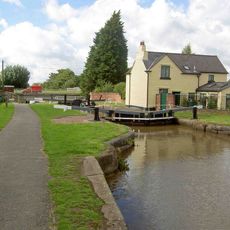
Greenfield Lock
982 m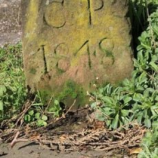
Parish Boundary Stone In Front Of Number 127
826 m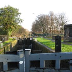
Tarvin Road Lock
1.6 km
Parish boundary stone against front wall of No.60 (The Old Glass House)
802 m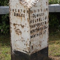
Milepost, roundabout jct of A55
1.1 km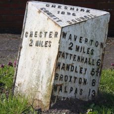
Milepost, almost under A55 bridge, by car showroom
539 m
Milepost, opp. Cecil Street, S of jct with B5130 to Farndon
2.1 km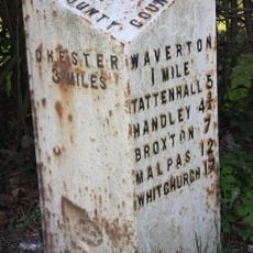
Milepost, Rowton Moor
1.6 km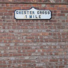
Milestone, Sandy Lane; 100m S of gyratory
2.2 km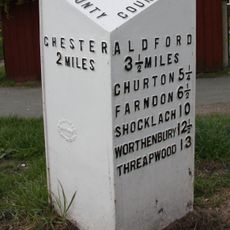
Milepost, Broughton Heath; by No 84 & 86
2.2 km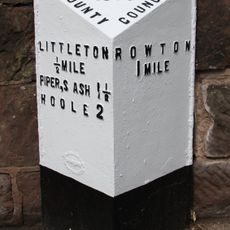
Milepost, Little Heath Road
162 mVous avez visité ce lieu ? Touchez les étoiles pour le noter et partager votre expérience ou vos photos avec la communauté ! Essayez maintenant ! Vous pouvez annuler à tout moment.
Trouvez des trésors cachés à chaque coin de rue !
Des petits cafés pittoresques aux points de vue planqués, fuyez la foule et dénichez les lieux qui vous ressemblent vraiment. Notre app vous facilite la vie : recherche vocale, filtres malins, itinéraires optimisés et bons plans partagés par des voyageurs du monde entier. Téléchargez vite pour vivre l'aventure en version mobile !

Une approche inédite de la découverte touristique❞
— Le Figaro
Tous les lieux qui valent la peine d'être explorés❞
— France Info
Une excursion sur mesure en quelques clics❞
— 20 Minutes