
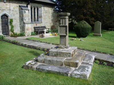
Sundial in churchyard to south of Church of St Bartholomew
Sundial in churchyard to south of Church of St Bartholomew, Grade II listed building in Chipping, Lancashire, UK
Emplacement : Chipping
Coordonnées GPS : 53.88462,-2.57614
Dernière mise à jour : 11 avril 2025 à 08:29
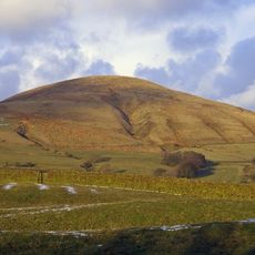
Parlick
3.2 km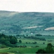
Longridge Fell
4.2 km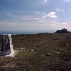
Fair Snape Fell
4.6 km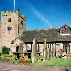
St Bartholomew's Church, Chipping
19 m
Kirk Mill
288 m
Lower Lees Farmhouse
3.4 km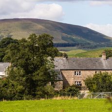
Higher Lees Farmhouse
4.4 km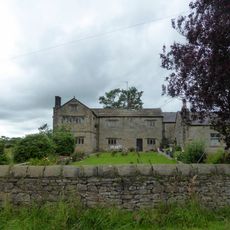
Hesketh End
2.4 km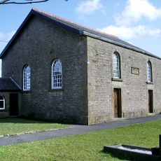
Chipping Congregational Church
153 m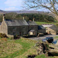
Wolfen Hall
2.1 km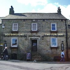
The Sun Inn
44 m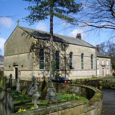
Church of St Mary
129 m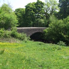
Loud Mytham Bridge
2.7 km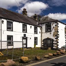
Talbot Hotel
58 m
Churchyard wall and steps at Church of St Bartholomew
18 m
Guidestone, ExYW Lees, E of River Hodder, in wall
4 km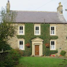
Higher Chipping House
2 km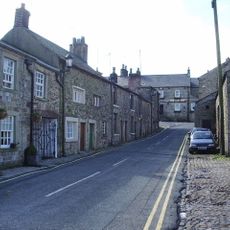
12 and 14 Talbot Street
55 m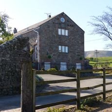
Farm building at Fair Oak Farm 400 metres north-west of Fair Oak Farmhouse
3.8 km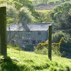
Farm store to south-east of southern farmhouse
4 km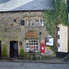
20 and 22 Talbot Street
88 m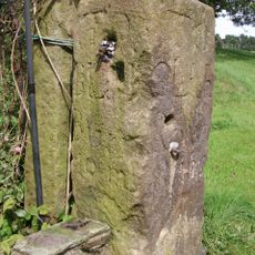
Milestone at NGR SD 559 408
3.4 km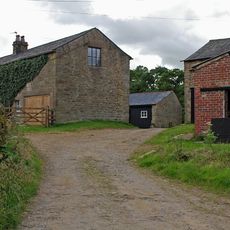
Southern Farmhouse
4 km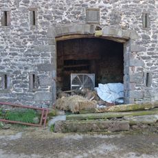
Barn at Fair Oak Farm
3.7 km
Doeford Bridge
2.8 km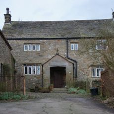
Old Vicarage
1.9 km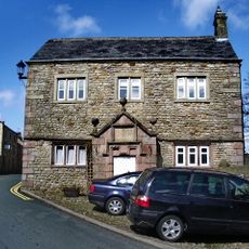
Brabin's School
114 m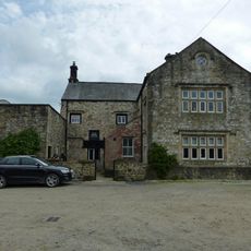
Stakes
2.4 kmVous avez visité ce lieu ? Touchez les étoiles pour le noter et partager votre expérience ou vos photos avec la communauté ! Essayez maintenant ! Vous pouvez annuler à tout moment.
Trouvez des trésors cachés à chaque coin de rue !
Des petits cafés pittoresques aux points de vue planqués, fuyez la foule et dénichez les lieux qui vous ressemblent vraiment. Notre app vous facilite la vie : recherche vocale, filtres malins, itinéraires optimisés et bons plans partagés par des voyageurs du monde entier. Téléchargez vite pour vivre l'aventure en version mobile !

Une approche inédite de la découverte touristique❞
— Le Figaro
Tous les lieux qui valent la peine d'être explorés❞
— France Info
Une excursion sur mesure en quelques clics❞
— 20 Minutes