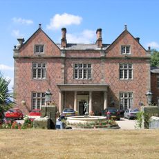
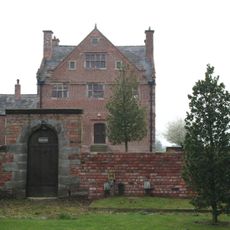
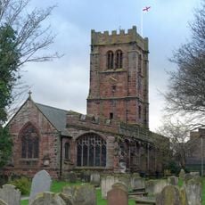
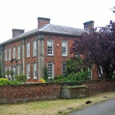
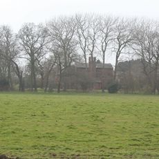
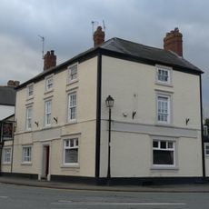
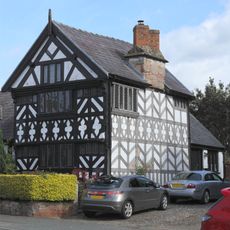
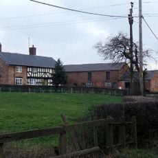
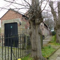
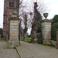
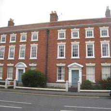
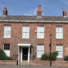
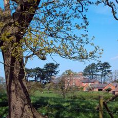
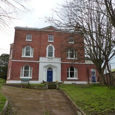
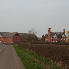
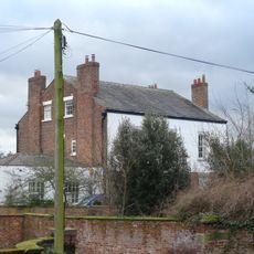
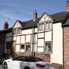
Duddon and Burton, civil parish in Cheshire West and Chester, Cheshire, England
Emplacement : Cheshire West and Chester
Partage une frontière avec : Clotton Hoofield, Hargrave and Huxley, Willington, Tarvin
Coordonnées GPS : 53.17805,-2.73013
Dernière mise à jour : 3 avril 2025 à 13:40
Willington Hall
2.3 km
Burton Hall
952 m
St Andrew's Church, Tarvin
3 km
Hockenhull Hall
3.2 km
Lower Huxley Hall
2.9 km
Duddon Old Hall
268 m
Huxley Hoard
3.5 km
Red Lion
3.1 km
Church House
3.1 km
Tombchest of John Minshull and daughter, south-west corner of churchyard of St. Andrew
3 km
Number 86 and attached outbuilding
3.1 km
Sundial in the churchyard of St Andrew
3 km
Tombstone of Beatrix Hollinsworth 12 metres west door of Church of St Andrew
3 km
Tarvin War Memorial
3.1 km
Brook House Farmhouse
1.4 km
Church Hall, Grammar School House and the Hearse House
3 km
Gates and gatepiers to the churchyard of St. Andrew
3.1 km
The Flaggs and Hamilton House, and front garden walls and gates
3.1 km
Laurel House
3.2 km
Roade House
3.2 km
Stapleford Hall
2.3 km
Garden wall and gateway at Burton Hall
993 m
76, High Street
3.1 km
Tarvin Hall
3.2 km
Hoofield Hall
2 km
The Vicarage
3 km
51, High Street
3.2 km
78 and 80, High Street
3.1 kmAvis
Vous avez visité ce lieu ? Touchez les étoiles pour le noter et partager votre expérience ou vos photos avec la communauté ! Essayez maintenant ! Vous pouvez annuler à tout moment.
Trouvez des trésors cachés à chaque coin de rue !
Des petits cafés pittoresques aux points de vue planqués, fuyez la foule et dénichez les lieux qui vous ressemblent vraiment. Notre app vous facilite la vie : recherche vocale, filtres malins, itinéraires optimisés et bons plans partagés par des voyageurs du monde entier. Téléchargez vite pour vivre l'aventure en version mobile !
Une approche inédite de la découverte touristique❞
— Le Figaro
Tous les lieux qui valent la peine d'être explorés❞
— France Info
Une excursion sur mesure en quelques clics❞
— 20 Minutes