
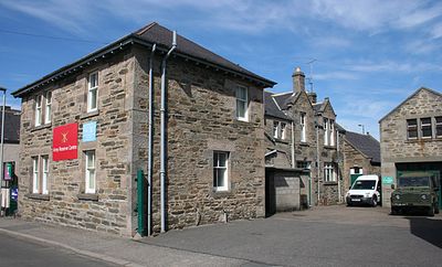
Union Street drill hall, Keith, military post in Moray, Scotland, UK
Emplacement : Moray
Création : 1908
Coordonnées GPS : 57.54263,-2.94876
Dernière mise à jour : 11 mars 2025 à 02:57
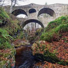
Craigmin Bridge
11.5 km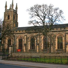
St Rufus Church, Keith
331 m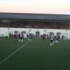
Kynoch Park
313 m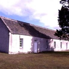
St Ninian's Church, Tynet
11.9 km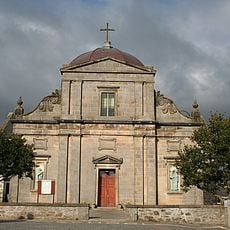
Keith, Chapel Street, St Thomas' Catholic Church
540 m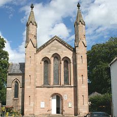
Fochabers, Gordon Episcopal Chapel And Parsonage
12 km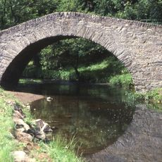
Old Bridge Of Keith, River Islay, Regent Street, Keith
555 m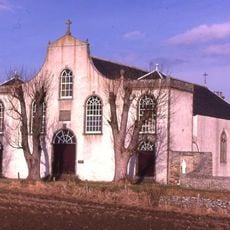
St Gregory's Church, Preshome
11 km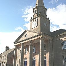
Fochabers, The Square, Bellie Parish Church
11.9 km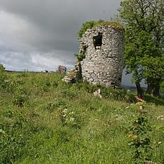
Pitlurg Castle
5.1 km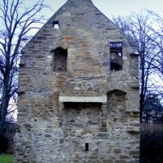
Milton Tower
686 m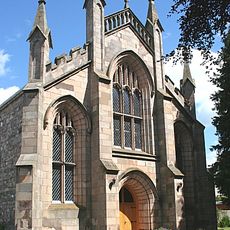
St. Mary's Fochabers
11.7 km
Mill Of Towie
4.3 km
Avochie Castle
10.8 km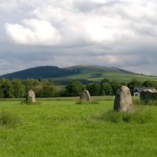
Rothiemay Castle,stone circle,400m NNW of
11.9 km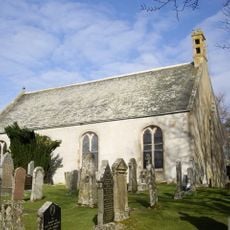
Glass Parish Church
10.7 km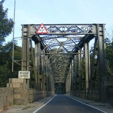
Road bridge over the River Spey, Boat o' Brig
11.6 km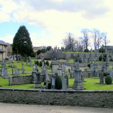
Keith Cemetery
573 m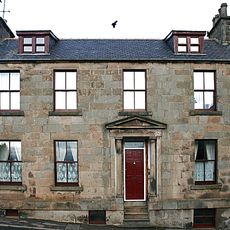
Keith, 11 Chapel Street, Cuthill House
494 m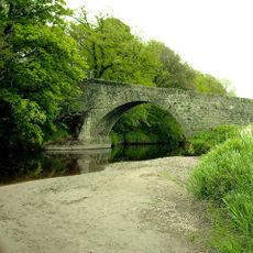
Bridge of Grange
4.4 km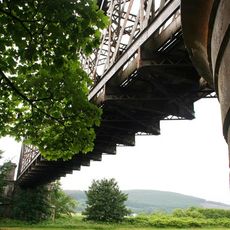
Boat O' Brig, Railway Bridge
11.5 km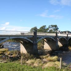
Milltown of Rothiemay, Cast-iron Bridge
11.7 km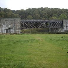
Deveron Viaduct
11.2 km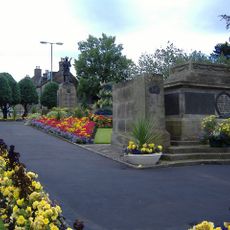
Keith, Land Street, War Memorial
178 m
Crooks Mill
2.5 km
Keith, 138-140 Mid Street, The Institute
191 m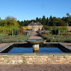
Gordon Castle, Walled Gardens
12 km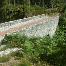
Meikle Dramlach Bridge
8.7 kmAvis
Vous avez visité ce lieu ? Touchez les étoiles pour le noter et partager votre expérience ou vos photos avec la communauté ! Essayez maintenant ! Vous pouvez annuler à tout moment.
Trouvez des trésors cachés à chaque coin de rue !
Des petits cafés pittoresques aux points de vue planqués, fuyez la foule et dénichez les lieux qui vous ressemblent vraiment. Notre app vous facilite la vie : recherche vocale, filtres malins, itinéraires optimisés et bons plans partagés par des voyageurs du monde entier. Téléchargez vite pour vivre l'aventure en version mobile !

Une approche inédite de la découverte touristique❞
— Le Figaro
Tous les lieux qui valent la peine d'être explorés❞
— France Info
Une excursion sur mesure en quelques clics❞
— 20 Minutes