
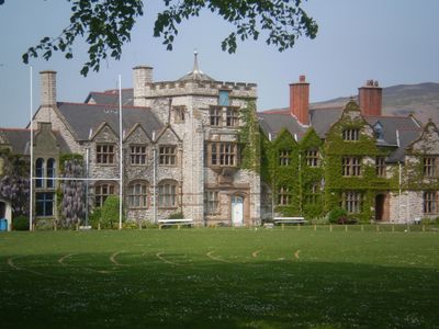
Ruthin School building, Grade II listed building in Denbighshire. Located on Mold Road, at the E end of the town, and surrounded by playing fields
Emplacement : Ruthin
Création : 1574
Fondateurs : Gabriel Goodman
Altitude : 79 m
Coordonnées GPS : 53.11712,-3.29976
Dernière mise à jour : 4 mars 2025 à 23:31

Ruthin Castle
953 m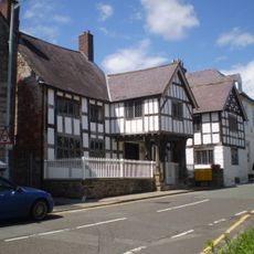
Nantclwyd y Dre
834 m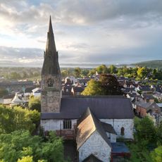
St Peter's Church
762 m
Seven Eyes
761 m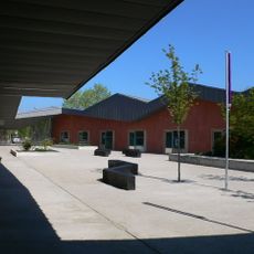
Ruthin Craft Centre
581 m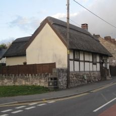
Rose Cottage, Ruthin
412 m
The Old Court House
779 m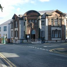
County Hall, Ruthin
657 m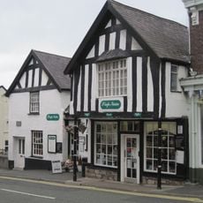
Siop Nain
771 m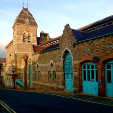
Ruthin Town Hall
494 m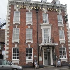
Castle Hotel, Ruthin
761 m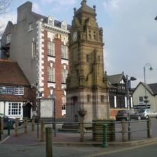
Peers Memorial
776 m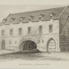
The Old Mill, Ruthin
1.1 km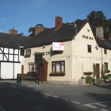
The Morning Star, Ruthin
1 km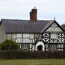
Caer Afallen
1.1 km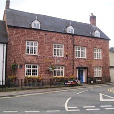
Plas Coch, Ruthin
632 m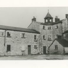
Ruthin Union Workhouse
494 m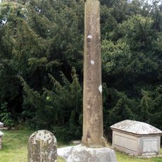
Churchyard Cross Shaft At St Meugan's Church
1.2 km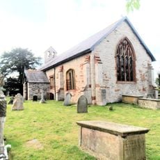
St Meugan's Church
1.2 km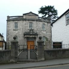
Pen-Dref Welsh Independent Chapel
709 m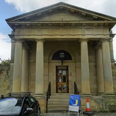
Ruthin Library
738 m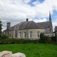
Tabernacl Chapel
616 m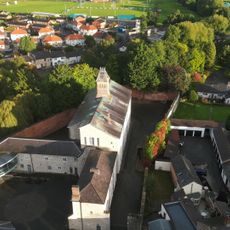
The Old Gaol
1 km
Scott House
1.1 km
Ruthin War Memorial
656 m
Tunnel Bridge
1.3 km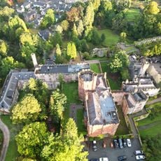
Ruthin Castle Hotel
1 km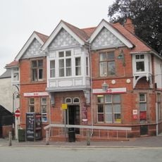
Post Office
781 mVous avez visité ce lieu ? Touchez les étoiles pour le noter et partager votre expérience ou vos photos avec la communauté ! Essayez maintenant ! Vous pouvez annuler à tout moment.
Trouvez des trésors cachés à chaque coin de rue !
Des petits cafés pittoresques aux points de vue planqués, fuyez la foule et dénichez les lieux qui vous ressemblent vraiment. Notre app vous facilite la vie : recherche vocale, filtres malins, itinéraires optimisés et bons plans partagés par des voyageurs du monde entier. Téléchargez vite pour vivre l'aventure en version mobile !

Une approche inédite de la découverte touristique❞
— Le Figaro
Tous les lieux qui valent la peine d'être explorés❞
— France Info
Une excursion sur mesure en quelques clics❞
— 20 Minutes