
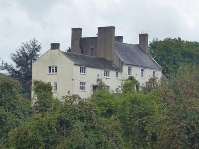
Hadnock Court, Grade II listed building in Monmouth. On a lane leading north from May Hill along the east bank of the River Wye
Emplacement : Monmouth
Altitude : 32,6 m
Coordonnées GPS : 51.82886,-2.68314
Dernière mise à jour : 3 mars 2025 à 08:34

King Arthur's Cave
1.8 km
The Kymin
2.2 km
Wyastone Leys
1 km
Newton Court
816 m
Lady Park Wood National Nature Reserve
1.6 km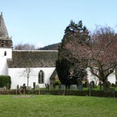
St Peter's Church
1.5 km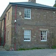
Monmouth County Gaol
2.5 km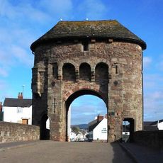
Monmouth town walls and defences
2.6 km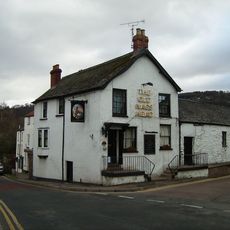
Old Nag's Head
2.6 km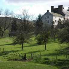
Hadnock
66 m
Chapel House
2.6 km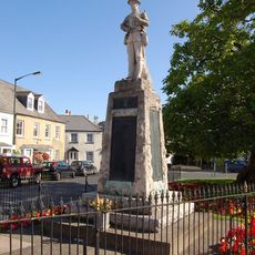
War memorials in Monmouth
2.6 km
North Parade House
2.5 km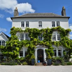
Parade House, Monmouth
2.6 km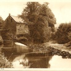
Monnow Mill
2.6 km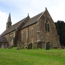
Church of St Swithin, Ganarew
1.6 km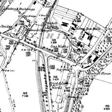
Monmouth Gasworks
2.6 km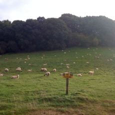
Grist Castle Wood
2 km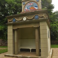
The Naval Temple with surrounding retaining wall
2.3 km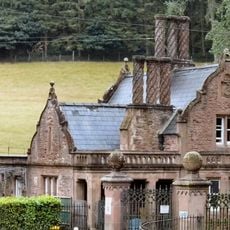
The Upper Lodge To Wyastone Leys
1.6 km
14 St. James's Street, Monmouth
2.6 km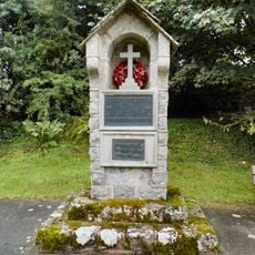
Ganarew War Memorial
1.5 km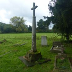
Cross in churchyard of Church of St. Peter
1.6 km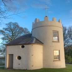
The Kymin Roundhouse
2.2 km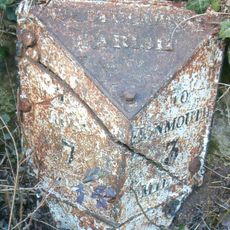
Milepost, Crocker's Ash
2.6 km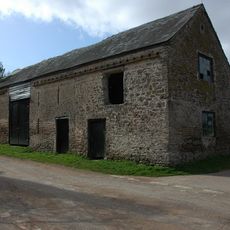
Granary and attached barn approximately 10 metres north west of Lewstone Farmhouse
2.6 km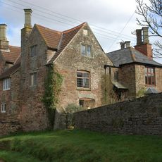
Lewstone Farmhouse
2.5 km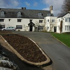
The Manor House
1.7 kmVous avez visité ce lieu ? Touchez les étoiles pour le noter et partager votre expérience ou vos photos avec la communauté ! Essayez maintenant ! Vous pouvez annuler à tout moment.
Trouvez des trésors cachés à chaque coin de rue !
Des petits cafés pittoresques aux points de vue planqués, fuyez la foule et dénichez les lieux qui vous ressemblent vraiment. Notre app vous facilite la vie : recherche vocale, filtres malins, itinéraires optimisés et bons plans partagés par des voyageurs du monde entier. Téléchargez vite pour vivre l'aventure en version mobile !

Une approche inédite de la découverte touristique❞
— Le Figaro
Tous les lieux qui valent la peine d'être explorés❞
— France Info
Une excursion sur mesure en quelques clics❞
— 20 Minutes