
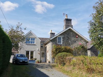
Ty'r Ysgol, Grade II listed building in Ceredigion. Situated in school yard of village school, at right angles to school, some 200m W of church
Emplacement : Trawsgoed
Altitude : 112,2 m
Coordonnées GPS : 52.33152,-3.93397
Dernière mise à jour : 4 mars 2025 à 00:29
Trawsgoed
1.5 km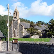
St Afan's Church
159 m
Dyfi Biosphere
4.7 km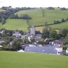
Creuddyn
4.9 km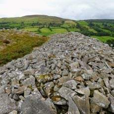
Gaer Fawr
3.5 km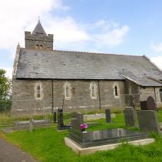
St John The Baptist's New Church, Ysbyty Ystwyth
5 km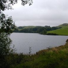
Llyn Frongoch
5 km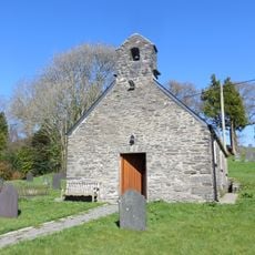
Old church of St John the Baptist
4.9 km
St Michael's Church
4.3 km
Church of Saint John
4.9 km
Church of St Gwnnws
2.7 km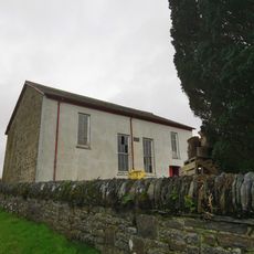
Capel Cynnon including vestry
4.8 km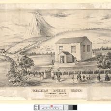
English Chapel
5 km
Cilcwm Calvinistic Methodist Sunday School
4.9 km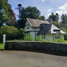
Lodge Fach
1.9 km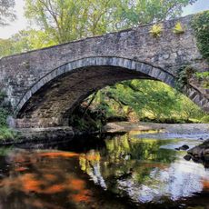
Pont Llanafan
843 m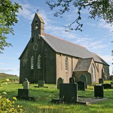
Llantrisant Church, Ceredigion
5.2 km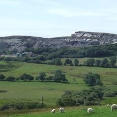
Hendre quarry
4.5 km
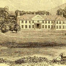
Trawscoed Mansion
1.5 km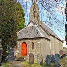
Church of St Michael
4.2 km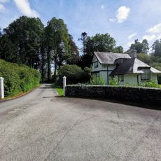
Gatepiers and low walls to main entrance to Trawsgoed House
1.9 km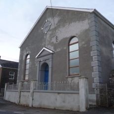
Rhyd-Lwyd Chapel
3.9 km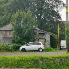
Abermagwr Sawmill
2.4 km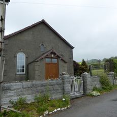
Rhydyfagwyr Chapel
2.6 km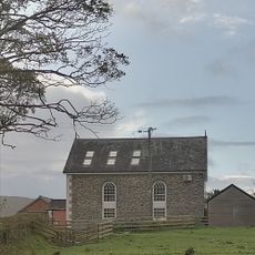
Capel Afan
232 m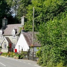
Holly Lodge
787 m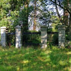
The White Gates
1.2 km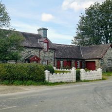
The Smithy House/ Yr Hen Efail
2.4 kmAvis
Vous avez visité ce lieu ? Touchez les étoiles pour le noter et partager votre expérience ou vos photos avec la communauté ! Essayez maintenant ! Vous pouvez annuler à tout moment.
Trouvez des trésors cachés à chaque coin de rue !
Des petits cafés pittoresques aux points de vue planqués, fuyez la foule et dénichez les lieux qui vous ressemblent vraiment. Notre app vous facilite la vie : recherche vocale, filtres malins, itinéraires optimisés et bons plans partagés par des voyageurs du monde entier. Téléchargez vite pour vivre l'aventure en version mobile !

Une approche inédite de la découverte touristique❞
— Le Figaro
Tous les lieux qui valent la peine d'être explorés❞
— France Info
Une excursion sur mesure en quelques clics❞
— 20 Minutes