
Church of St Mary, grade II listed building in Carmarthenshire. Within a large churchyard and prominently sited in a high position on the NE side of Burry Port
Emplacement : Pembrey and Burry Port Town
Altitude : 17,7 m
Coordonnées GPS : 51.68678,-4.23902
Dernière mise à jour : 5 mars 2025 à 18:01

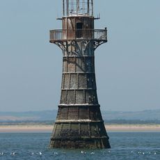
Phare de Whiteford Point
3.9 km
Stradey Castle
3.8 km
Court Farm, Pembrey
2.6 km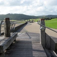
Millennium Coastal Park
2.8 km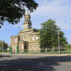
The Town Hall
5.2 km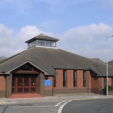
Our Lady Queen of Peace Church, Llanelli
5.1 km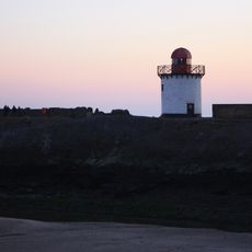
Phare de Burry Port
1.3 km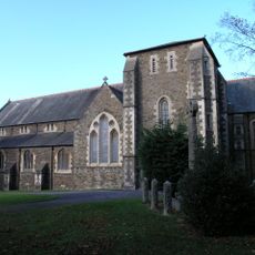
Church of All Saints, Llanelli
5.3 km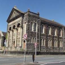
Tabernacl Independent Chapel
5.2 km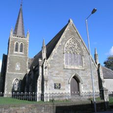
Hall Street English Methodist Church
5.2 km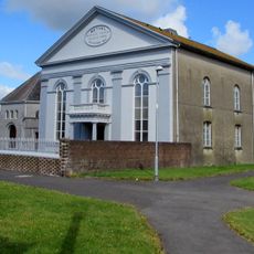
Bethel Welsh Baptist Church
5.3 km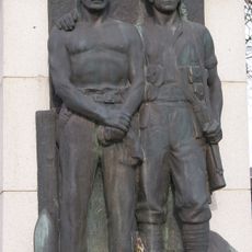
Llanelli War Memorial
5.2 km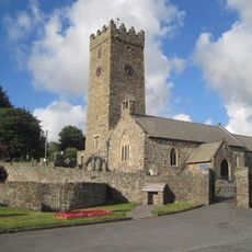
St Illtyd's Church
2.5 km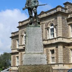
Boer War Memorial
5.2 km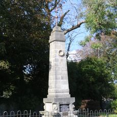
Monument to Amelia Earhart
712 m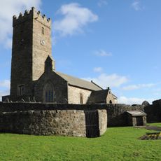
Animal Pound at Pembrey Church
2.5 km
Greenfield English Baptist Church
5.3 km
Burry Port Library
1.1 km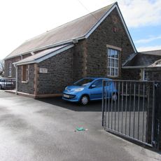
Pembrey Library
2.5 km
Whitland Library
3.7 km
Gates & Railings to Gardens at The Town Hall,Town Hall Square
5.2 km
Plas Kenrhos
1 km
Stamps
5.3 km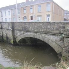
Bridge Over River Lliedi,Old Castle Road
4.9 km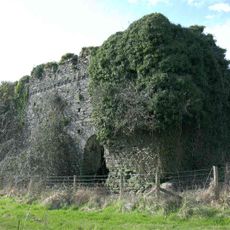
Outbuilding on S side of Court Farm
2.6 km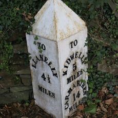
Milepost on Gwscwm Road
1.5 km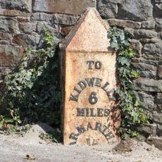
Milepost on Colby Road
242 m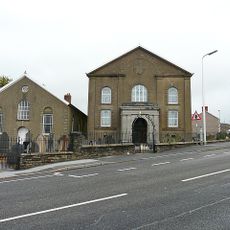
Jerwsalem Welsh Independent Chapel
841 mAvis
Vous avez visité ce lieu ? Touchez les étoiles pour le noter et partager votre expérience ou vos photos avec la communauté ! Essayez maintenant ! Vous pouvez annuler à tout moment.
Trouvez des trésors cachés à chaque coin de rue !
Des petits cafés pittoresques aux points de vue planqués, fuyez la foule et dénichez les lieux qui vous ressemblent vraiment. Notre app vous facilite la vie : recherche vocale, filtres malins, itinéraires optimisés et bons plans partagés par des voyageurs du monde entier. Téléchargez vite pour vivre l'aventure en version mobile !

Une approche inédite de la découverte touristique❞
— Le Figaro
Tous les lieux qui valent la peine d'être explorés❞
— France Info
Une excursion sur mesure en quelques clics❞
— 20 Minutes