
Nantybargod, Grade II listed building in Llangeler. Situated within low stone walled enclosure, in the bottom of a hollow on N side of the lane from Rhos, 75m E of the bridge
Emplacement : Llangeler
Altitude : 171,4 m
Coordonnées GPS : 51.99102,-4.36531
Dernière mise à jour : 3 mars 2025 à 04:13

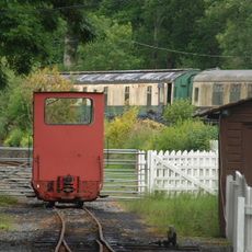
Teifi Valley Railway
5.9 km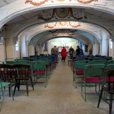
Capel Eidalwyr
5.4 km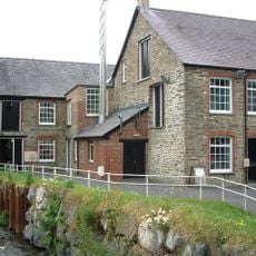
National Wool Museum
4.5 km
West Wales Museum of Childhood
5 km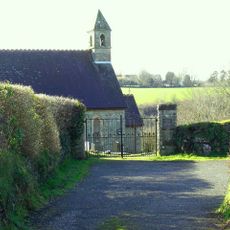
St David's Church
5.2 km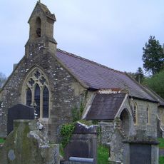
Church of St David
5.5 km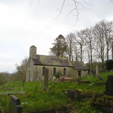
Church of St Mary
5.9 km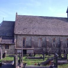
St Barnabas's Church
4 km
Closygraig Calvinistic Methodist Chapel
3 km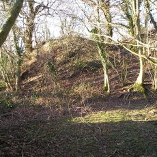
Pencastell
3.8 km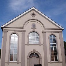
Bethel Welsh Baptist Church
4.3 km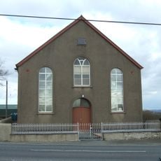
Hermon Independent Chapel
4.6 km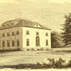
Llysnewydd
5.2 km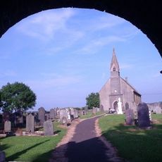
St Llawddog's Church
2 km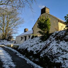
Rhydfelen and Y Gangell
6.7 km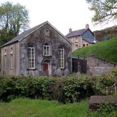
Hebron Welsh Baptist Church
4 km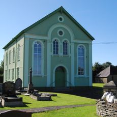
Saron Welsh Independent Chapel
3.1 km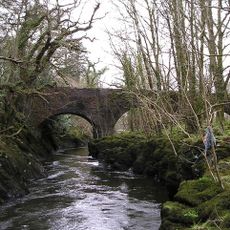
Pont Henllan
5.4 km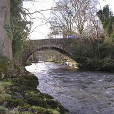
Llandysul Bridge
6.4 km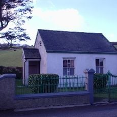
Tabernacl Welsh Independent Chapel
6.3 km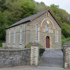
Soar Welsh Independent Chapel
3.2 km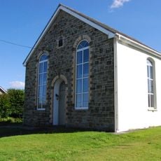
Seilo Welsh Independent Chapel
653 m
Hermon Old Welsh Independent Chapel
4.6 km
Bryn Moriah Pentecostal Church
6.6 km
Ffynnonhenri Church
5.4 km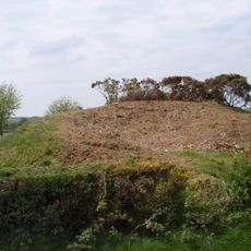
Tomenlawddog
2 km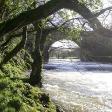
Allt-y-Cafan Bridge
4.2 km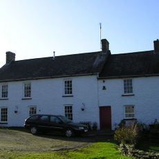
Danycapel Farmhouse
4 kmVous avez visité ce lieu ? Touchez les étoiles pour le noter et partager votre expérience ou vos photos avec la communauté ! Essayez maintenant ! Vous pouvez annuler à tout moment.
Trouvez des trésors cachés à chaque coin de rue !
Des petits cafés pittoresques aux points de vue planqués, fuyez la foule et dénichez les lieux qui vous ressemblent vraiment. Notre app vous facilite la vie : recherche vocale, filtres malins, itinéraires optimisés et bons plans partagés par des voyageurs du monde entier. Téléchargez vite pour vivre l'aventure en version mobile !

Une approche inédite de la découverte touristique❞
— Le Figaro
Tous les lieux qui valent la peine d'être explorés❞
— France Info
Une excursion sur mesure en quelques clics❞
— 20 Minutes