
Former Village School, Grade II listed building in Denbighshire. At the south-east side of the village street, beside Bryn-awel
Emplacement : Bryneglwys
Altitude : 245,5 m
Coordonnées GPS : 53.01563,-3.27395
Dernière mise à jour : 4 mars 2025 à 11:57

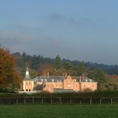
Nantclwyd Hall
5.8 km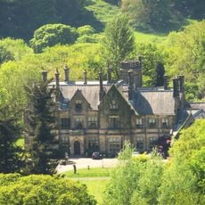
Llantysilio Hall
5.7 km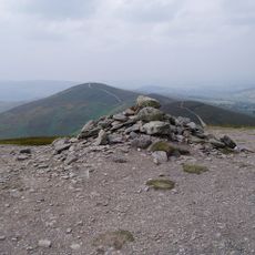
Moel y Gamelin
3.1 km
Tomen y Rhodwydd
5.3 km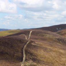
Moel y Gaer, Llantysilio
2.2 km
Leyland Arms, Llanelidan
4.9 km
St Elidan's Church
4.9 km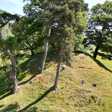
Owain Glyndŵr's Mount
4.6 km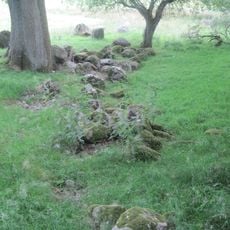
Bwrdd y Tri Arglwydd
4.3 km
Plas yn Iâl
3.2 km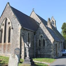
St Thomas's Church
4.7 km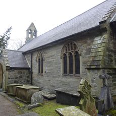
St Bridget's Church
5.1 km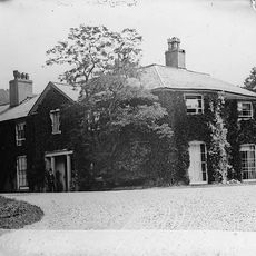
Rhagatt Hall
5.9 km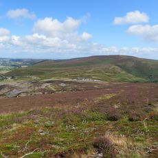
Moel y Faen
3.9 km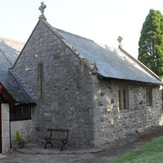
Church Of St Tysilio
198 m
Capel Seion
4.6 km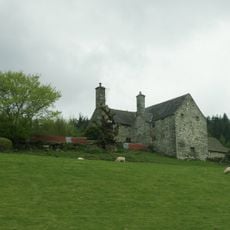
Carrog Uchaf, Glyndyfrdwy
4.7 km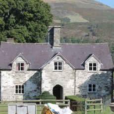
New Inn Farmhouse, Glyndyfrdwy
4.5 km
Pentrecelyn Hall
6 km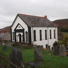
Glyndyfrdwy Baptist Church
4.7 km
Plas-uchaf
5.9 km
Pont Nant Clwyd
6 km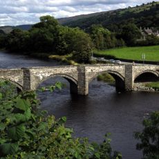
Pont Carrog
4.7 km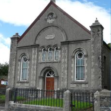
Carrog Welsh Baptist Church
4.9 km
Glyndyfrdwy Methodist Chapel
4.6 km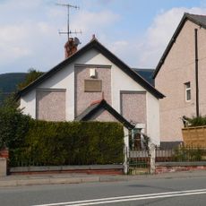
Beulah Independent Chapel
4.7 km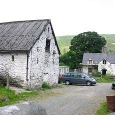
Barn and Shippon at New Inn Farm, Glyndyfrdwy
4.6 km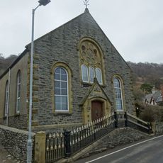
Carrog Chapel
4.8 kmVous avez visité ce lieu ? Touchez les étoiles pour le noter et partager votre expérience ou vos photos avec la communauté ! Essayez maintenant ! Vous pouvez annuler à tout moment.
Trouvez des trésors cachés à chaque coin de rue !
Des petits cafés pittoresques aux points de vue planqués, fuyez la foule et dénichez les lieux qui vous ressemblent vraiment. Notre app vous facilite la vie : recherche vocale, filtres malins, itinéraires optimisés et bons plans partagés par des voyageurs du monde entier. Téléchargez vite pour vivre l'aventure en version mobile !

Une approche inédite de la découverte touristique❞
— Le Figaro
Tous les lieux qui valent la peine d'être explorés❞
— France Info
Une excursion sur mesure en quelques clics❞
— 20 Minutes