
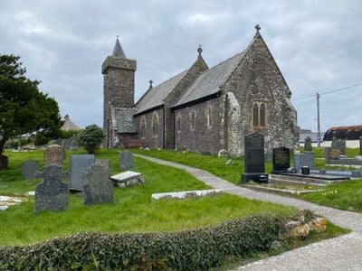
Church of St Sadwrnen, grade II listed building in Carmarthenshire, Prominently sited in historic churchyard high above Carmarthen Bay, about 2 km west of Laugharne
Emplacement : Laugharne Township
Altitude : 126,9 m
Coordonnées GPS : 51.76466,-4.49153
Dernière mise à jour : 4 mars 2025 à 08:01
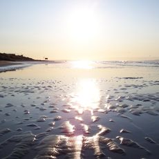
Pendine Sands
3.6 km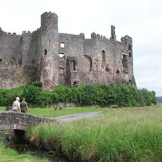
Château de Laugharne
2.1 km
Dylan Thomas Boathouse
2.6 km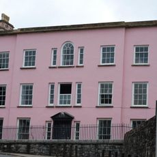
Castle House
2.1 km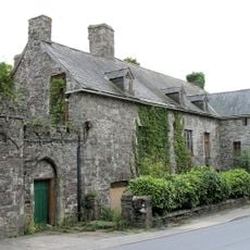
Island House
2 km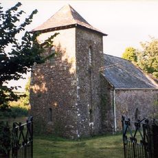
St Odoceus' Church, Llandawke
954 m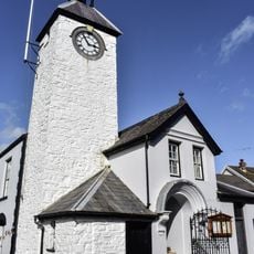
Laugharne Town Hall
2.1 km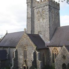
St Martin's Church, Laugharne
2.4 km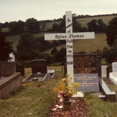
Grave of Dylan Thomas
2.3 km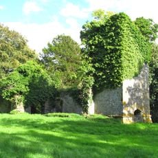
Ruins of former St Michael's Parish Church
3.7 km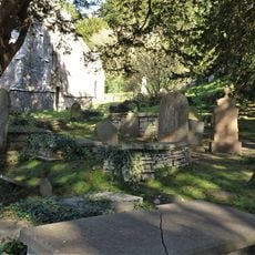
Churchyard at St.Martin's Parish Church, Church Street
2.4 km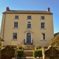
Seaview
2.2 km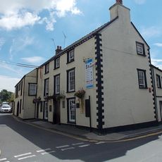
New Three Mariners P.H. Victoria Street
2.1 km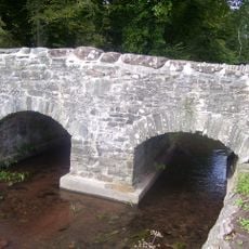
Coran Bridge,Newbridge Street
2 km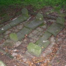
Pilgrims Graves By Ruins Of St Michael's Church
3.7 km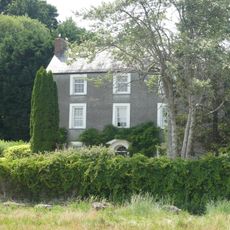
Strand House, The Strand
2 km
Pilgrim's Graves S Of Ruins Of St Michaels Church
3.7 km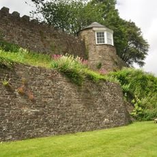
Gazebo in grounds of Laugharne Castle
2.1 km
Great House, King Street
2.1 km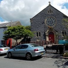
New Congregational Chapel
2.2 km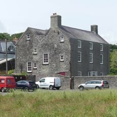
The Strand, The Strand
2 km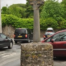
Cross,The Grist
1.9 km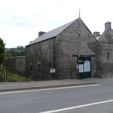
Garage to Island House, Wogan Street
2 km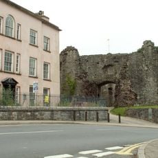
Outer Gatehouse To Laugharne Castle,market St.
2.1 km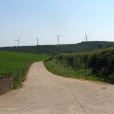
Parc Cynog Farm
2.7 km
Vicarage,King Street
2.1 km
Pelican,King Street
2.1 km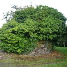
Roche Castle
1.2 kmVous avez visité ce lieu ? Touchez les étoiles pour le noter et partager votre expérience ou vos photos avec la communauté ! Essayez maintenant ! Vous pouvez annuler à tout moment.
Trouvez des trésors cachés à chaque coin de rue !
Des petits cafés pittoresques aux points de vue planqués, fuyez la foule et dénichez les lieux qui vous ressemblent vraiment. Notre app vous facilite la vie : recherche vocale, filtres malins, itinéraires optimisés et bons plans partagés par des voyageurs du monde entier. Téléchargez vite pour vivre l'aventure en version mobile !

Une approche inédite de la découverte touristique❞
— Le Figaro
Tous les lieux qui valent la peine d'être explorés❞
— France Info
Une excursion sur mesure en quelques clics❞
— 20 Minutes