
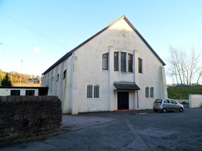
St Dyfrig's Church Hall, Grade II listed building in Pontypridd. On the S side of the church and Presbytery
Emplacement : Pontypridd
Altitude : 54,2 m
Coordonnées GPS : 51.59443,-3.32455
Dernière mise à jour : 4 mars 2025 à 01:11
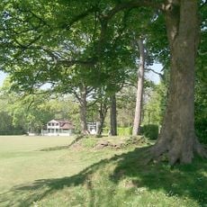
Ynysangharad Park
1 km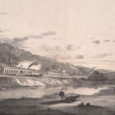
Treforest Tinplate Works
1.3 km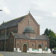
St Dyfrig's Church
51 m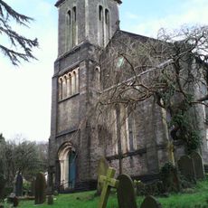
St Mary's Church
275 m
The Groggshop
390 m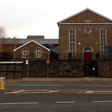
Sardis Welsh Independent Chapel
1.4 km
Memorial to Evan and James James
1.2 km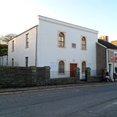
Libanus Welsh Baptist Church
76 m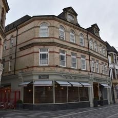
Market Tavern Hotel
1.4 km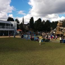
Lido at Ynysangharad Park
1.3 km
Tabernacle Welsh Baptist Chapel
1.4 km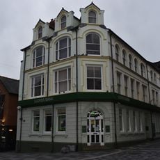
Lloyds TSB Bank, Market Square branch
1.4 km
Pontypridd Register Office
1.4 km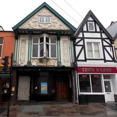
Platform 11
1.3 km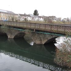
Castle Bridge
215 m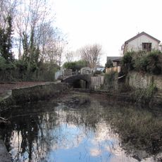
Bridge over Glamorganshire Canal W of Newbridge Chainworks basin
989 m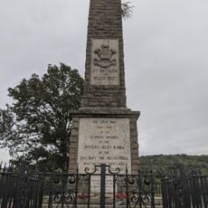
Welch Regimental War Memorial
1.2 km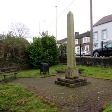
Crawshay Obelisk SW of Castle Bridge
236 m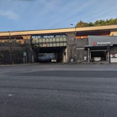
Railway Bridge beneath Pontypridd Railway Station
1.3 km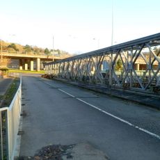
Machine Bridge (also Known As Pont Y Doctor)
80 m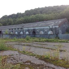
Former Rolling Mill At Treforest Tinplate Works
1.3 km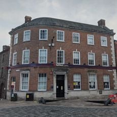
National Westminster Bank
1.4 km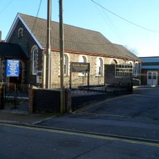
Castle Square English Independent Church
240 m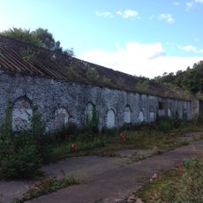
Former Tinning House At Treforest Tinplate Works
1.2 km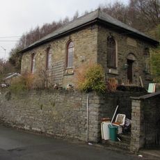
Sunday School
1 km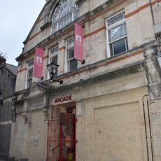
The Arcade
1.4 km
Le Crazy Croissant
1.4 km
Calvary English Baptist Church
504 mAvis
Vous avez visité ce lieu ? Touchez les étoiles pour le noter et partager votre expérience ou vos photos avec la communauté ! Essayez maintenant ! Vous pouvez annuler à tout moment.
Trouvez des trésors cachés à chaque coin de rue !
Des petits cafés pittoresques aux points de vue planqués, fuyez la foule et dénichez les lieux qui vous ressemblent vraiment. Notre app vous facilite la vie : recherche vocale, filtres malins, itinéraires optimisés et bons plans partagés par des voyageurs du monde entier. Téléchargez vite pour vivre l'aventure en version mobile !

Une approche inédite de la découverte touristique❞
— Le Figaro
Tous les lieux qui valent la peine d'être explorés❞
— France Info
Une excursion sur mesure en quelques clics❞
— 20 Minutes