
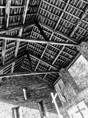
Hay-barn at Hafod, Grade II listed building in Ceredigion. Situated approximately 20 metres NE of site of stable range, some 120 metres NE of site of demolished house
Emplacement : Devil's Bridge
Altitude : 180,6 m
Coordonnées GPS : 52.34390,-3.82231
Dernière mise à jour : 24 avril 2025 à 14:04

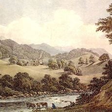
Hafod Uchtryd
25 m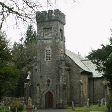
Eglwys Newydd Church
953 m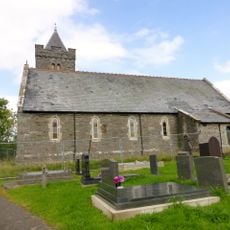
St John The Baptist's New Church, Ysbyty Ystwyth
3.2 km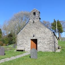
Old church of St John the Baptist
3.3 km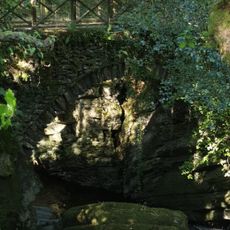
Pont Dologau
1.1 km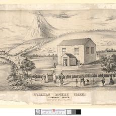
English Chapel
2.7 km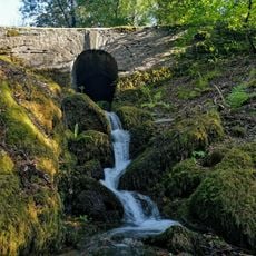
Bridge over stream to W of Bedford Monument
359 m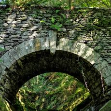
Bridge over the Nant Peiran
977 m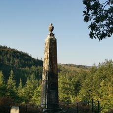
Monument to the Duke of Bedford, Hafod
414 m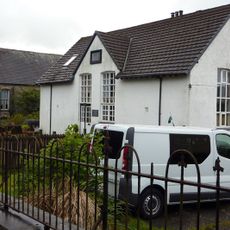
Cwmystwyth Chapel
2.7 km
Enclosing rails and walls to Thomas Johnes grave in Eglwys Newydd churchyard
913 m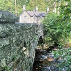
Pont Rhydygroes
1.9 km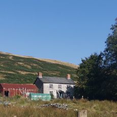
Pantymawn
601 m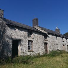
Cae'r meirch
523 m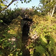
Ice House at Hafod
339 m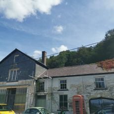
The Old Post Office
2.2 km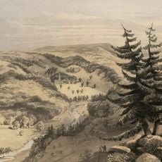
Hafod Uchtryd
85 m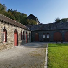
Stable Range at Hafod and attached courtyard walls
25 m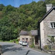
Outbuilding at Ystwyth Villa
1.9 km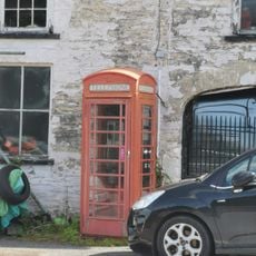
Telephone Call-box outside The Old Post Office
2.2 km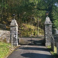
Entrance gates and piers to Eglwys Newydd church
992 m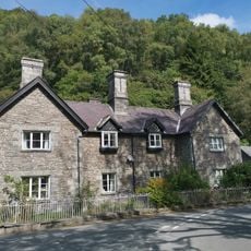
Ystwyth Villa
1.9 km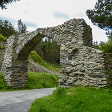
The Jubilee Arch
2.3 km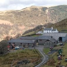
Bodcoll
3 km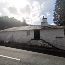
Gwynfryn and Isfryn
2.3 km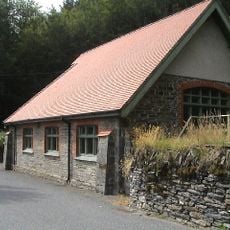
Bethel Calvinistic Methodist Sunday School
1.3 km
Nantycae
1.6 km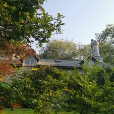
Pencreigiau
550 mVous avez visité ce lieu ? Touchez les étoiles pour le noter et partager votre expérience ou vos photos avec la communauté ! Essayez maintenant ! Vous pouvez annuler à tout moment.
Trouvez des trésors cachés à chaque coin de rue !
Des petits cafés pittoresques aux points de vue planqués, fuyez la foule et dénichez les lieux qui vous ressemblent vraiment. Notre app vous facilite la vie : recherche vocale, filtres malins, itinéraires optimisés et bons plans partagés par des voyageurs du monde entier. Téléchargez vite pour vivre l'aventure en version mobile !

Une approche inédite de la découverte touristique❞
— Le Figaro
Tous les lieux qui valent la peine d'être explorés❞
— France Info
Une excursion sur mesure en quelques clics❞
— 20 Minutes