
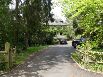
Weir House, Grade II listed building in Llantilio Crossenny. In centre of Llantilio Crossenny village some 250m SW of church, set back from road on ground bordering a small tributary valley of the River Trothy
Emplacement : Llantilio Crossenny
Altitude : 54,8 m
Coordonnées GPS : 51.82848,-2.87658
Dernière mise à jour : 3 mars 2025 à 00:49
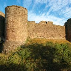
Château Blanc
2.6 km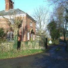
Tal-y-coed Court
2.5 km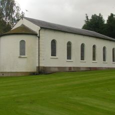
Church of St Mary and St Michael, Llanarth
4.6 km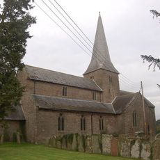
Church of St Teilo, Llantilio Crossenny
275 m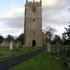
St Teilo's Church
4.4 km
Church of St Michael and All Angels
3.7 km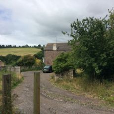
Newhouse Farmhouse
3.5 km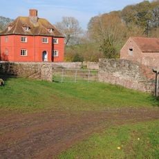
Upper Red House
3.6 km
Brynderi House
2.5 km
Llwyn-y-gaer House
3.8 km
Great Killough
1.7 km
High House
3 km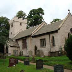
Church of Saint Mapley
3.1 km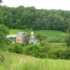
Pant Chapel Society of Friends
2.8 km
St Cadoc's Church
3.6 km
Upper White Castle Farmhouse
2.5 km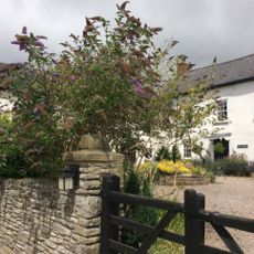
Gelli Including Attached Cider House, Farm Range And Barn
4.2 km
Coed-y-gelli
4.2 km
Upper Green
4.3 km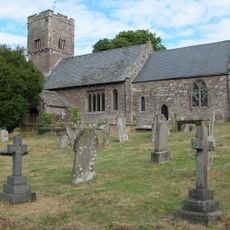
Church of St James
4.1 km
Former Post Office
4.3 km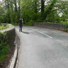
Pont Gilbert
4 km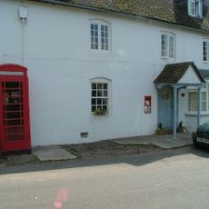
Telephone Call-box (01873 840412)
4.3 km
Great Treadam House
1.7 km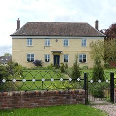
Penrhos
1.4 km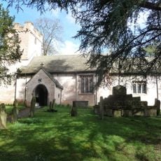
Churchyard cross in Llanvapley churchyard
3.1 km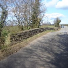
Llwynderi Bridge
2 km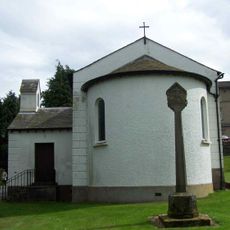
Cross outside RC Church, Llanarth Court
4.6 kmVous avez visité ce lieu ? Touchez les étoiles pour le noter et partager votre expérience ou vos photos avec la communauté ! Essayez maintenant ! Vous pouvez annuler à tout moment.
Trouvez des trésors cachés à chaque coin de rue !
Des petits cafés pittoresques aux points de vue planqués, fuyez la foule et dénichez les lieux qui vous ressemblent vraiment. Notre app vous facilite la vie : recherche vocale, filtres malins, itinéraires optimisés et bons plans partagés par des voyageurs du monde entier. Téléchargez vite pour vivre l'aventure en version mobile !

Une approche inédite de la découverte touristique❞
— Le Figaro
Tous les lieux qui valent la peine d'être explorés❞
— France Info
Une excursion sur mesure en quelques clics❞
— 20 Minutes