
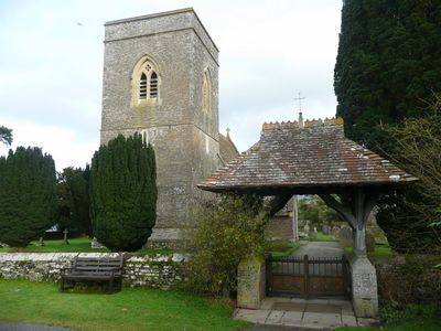
Lychgate in churchyard of St Gastyn, Grade II listed building in Powys. Forming the W entrance to the churchyard and adjacent to The Old School
Emplacement : Llangors
Altitude : 157 m
Coordonnées GPS : 51.92675,-3.26227
Dernière mise à jour : 9 mars 2025 à 15:11
Fforest Fawr Geopark
4.2 km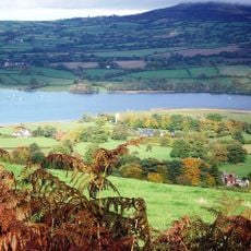
Treberfydd
702 m
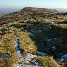
Mynydd Llangorse
2.6 km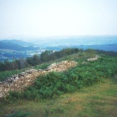
Allt yr Esgair
1.9 km
Blaenllyfni Castle
3.4 km
Caeau Ty-mawr
1.3 km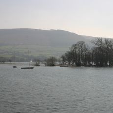
Llangors Crannog
1.1 km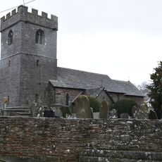
Church of St Michael and All Angels
3 km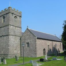
Church Of St Paulinus
1.5 km
Church Of St Mary
4 km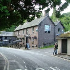
White Hart Inn
4 km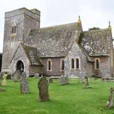
St Gastyn's Church
20 m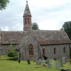
St Ffraed's Church
2.8 km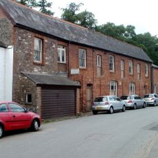
Former skittle alley and tea-room
4 km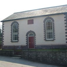
Penuel Baptist Chapel
1.5 km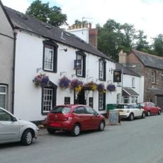
The Star Inn
4 km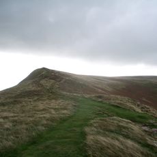
Mynydd Llangorse
3.2 km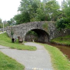
White Hart Bridge (Canal Bridge No.143) including attached retaining wall
4 km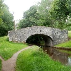
Penawr Bridge (Canal Bridge No.151)
3.6 km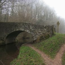
Castle Bridge (Canal Bridge No. 152)
3.9 km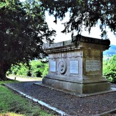
Gwynne Holford Monument in the churchyard to SW of Church of St Ffraed
2.8 km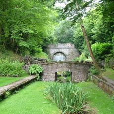
Tal-y-llyn Railway Tunnel
2.9 km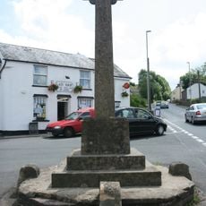
Bwlch War Memorial
4 km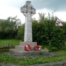
War memorial at Lower Cross Oak
3.5 km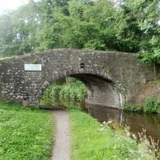
Cross Oak Bridge (Canal Bridge No.147)
3.5 km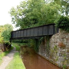
Pair of railway bridges over road and canal at Talybont
4 km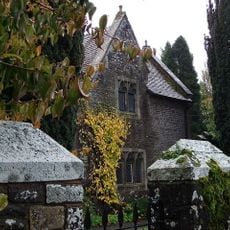
Old School House (also Known As Yr Hen Ysgol)
28 m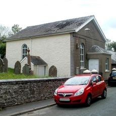
Benciah Independent Chapel
3.7 kmVous avez visité ce lieu ? Touchez les étoiles pour le noter et partager votre expérience ou vos photos avec la communauté ! Essayez maintenant ! Vous pouvez annuler à tout moment.
Trouvez des trésors cachés à chaque coin de rue !
Des petits cafés pittoresques aux points de vue planqués, fuyez la foule et dénichez les lieux qui vous ressemblent vraiment. Notre app vous facilite la vie : recherche vocale, filtres malins, itinéraires optimisés et bons plans partagés par des voyageurs du monde entier. Téléchargez vite pour vivre l'aventure en version mobile !

Une approche inédite de la découverte touristique❞
— Le Figaro
Tous les lieux qui valent la peine d'être explorés❞
— France Info
Une excursion sur mesure en quelques clics❞
— 20 Minutes