
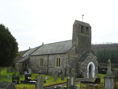
Church of St Patrick, grade II listed building in Pencarreg, on the S side and sited in a round churchyard above the A485
Emplacement : Pencarreg
Altitude : 142 m
Coordonnées GPS : 52.08416,-4.13947
Dernière mise à jour : 3 mars 2025 à 06:01
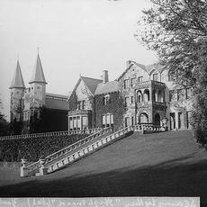
Highmead
3.8 km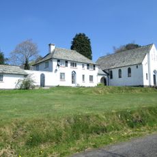
Roman Catholic Church of Our Lady of Mount Carmel and attached Presbytery
5.1 km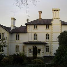
Falcondale House
5.1 km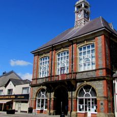
Lampeter Town Hall
5.2 km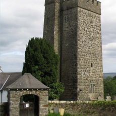
St Gwenog's Church
4.1 km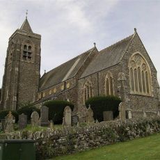
St. Peter's Church
5.2 km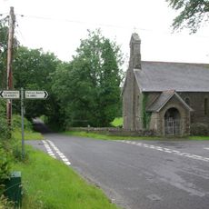
St Mary's Church, Maestir
4.7 km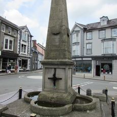
Harford Fountain
5.3 km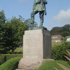
Lampeter War Memorial
5.5 km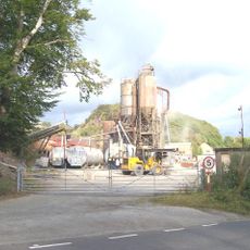
Allt Goch quarry
5.7 km
Rhydybont Chapel
1.4 km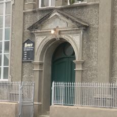
Soar Welsh Independent Chapel
5.1 km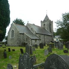
St Lucia and St Gwynin's Church
2.3 km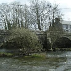
Pont Llanybydder
1.8 km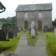
Alltyblaca Welsh Unitarian Chapel
1.4 km
Pont Abercerdinen
3.2 km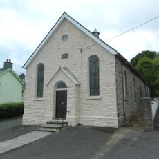
Bethel Welsh Independent Chapel
3.3 km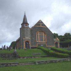
Brondeifi Chapel
5.4 km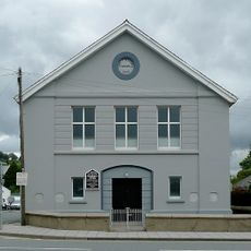
Noddfa Church
5.3 km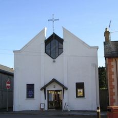
St Thomas Methodist Church
5.2 km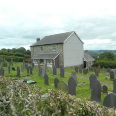
Bryn-Teg Welsh Independent Chapel
5.1 km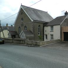
Cwrtnewydd Welsh Baptist Church
5.4 km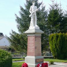
Pencarreg War Memorial
5.7 km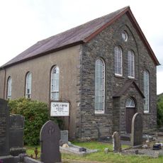
Capel Y Bryn
5.1 km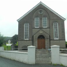
Capel Y Groes
3.1 km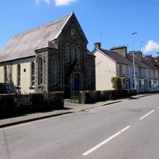
Shiloh Chapel
5.1 km
Walls & Surrounding Terrace at The War Memorial, Bryn Road
5.5 km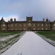
St David's University College (original Buildings)
5.4 kmAvis
Vous avez visité ce lieu ? Touchez les étoiles pour le noter et partager votre expérience ou vos photos avec la communauté ! Essayez maintenant ! Vous pouvez annuler à tout moment.
Trouvez des trésors cachés à chaque coin de rue !
Des petits cafés pittoresques aux points de vue planqués, fuyez la foule et dénichez les lieux qui vous ressemblent vraiment. Notre app vous facilite la vie : recherche vocale, filtres malins, itinéraires optimisés et bons plans partagés par des voyageurs du monde entier. Téléchargez vite pour vivre l'aventure en version mobile !

Une approche inédite de la découverte touristique❞
— Le Figaro
Tous les lieux qui valent la peine d'être explorés❞
— France Info
Une excursion sur mesure en quelques clics❞
— 20 Minutes