
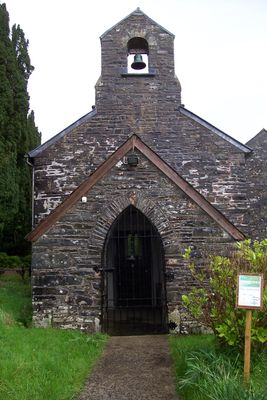
Church of St Michael, isolated hilltop church in a walled churchyard, on the E side of a minor road between Brechfa and Llanybydder
Emplacement : Llanfihangel Rhos-y-Corn
Altitude : 273,1 m
Coordonnées GPS : 51.99185,-4.11369
Dernière mise à jour : 6 mars 2025 à 13:55
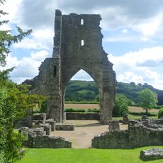
Talley Abbey
8.4 km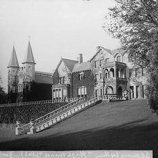
Highmead
9.7 km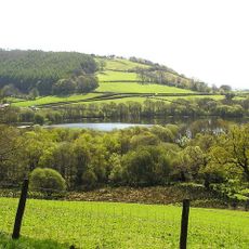
Talley Lakes
8.2 km
Cefn Blaenau
7.4 km
Rhydybont Chapel
9.1 km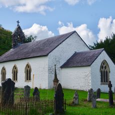
St Michael's Church
8.5 km
Parish Church of St Sawel
7.2 km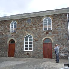
Capel Noni
7.8 km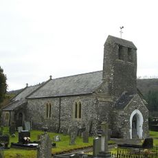
Church of St Patrick
10.4 km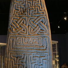
Eiudon Cross
7.2 km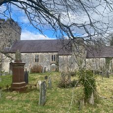
St Egwad's Church
7.1 km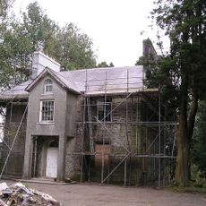
Blaenblodau Hall
8.4 km
Pont Cwmmawr-du
2.5 km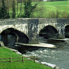
Pont Cothi
3.7 km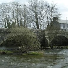
Pont Llanybydder
9.9 km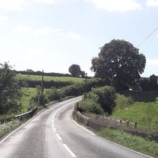
Perthyberllan bridge marker stone↵
7.9 km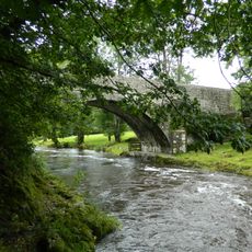
Pont Llwni
10.1 km
Glanyrannell
10.3 km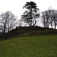
Castell Pyr, Llanllwni
9.7 km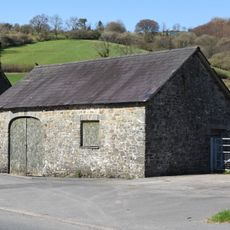
Cart-House to S of Former Blacksmith's Shop, Talley
9.2 km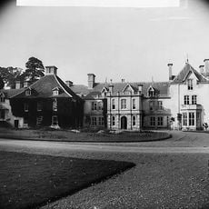
Edwinsford, Llansawel
8.1 km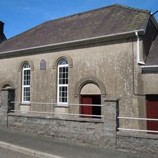
Ty Cwrdd Gwernogle
2.1 km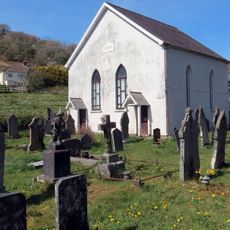
Amor Welsh Baptist Church
7.3 km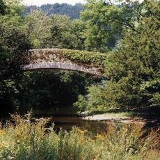
Bridge Over River Gothi at Edwinsford, Llansawel
8.2 km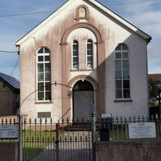
Moreia Welsh Baptist Church
10.4 km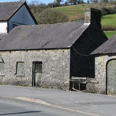
Former Blacksmith's Shop, Talley
9.1 km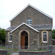
Gwyddgrug Welsh Independent Chapel
8.5 km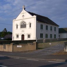
Tabernacl
10.5 kmAvis
Vous avez visité ce lieu ? Touchez les étoiles pour le noter et partager votre expérience ou vos photos avec la communauté ! Essayez maintenant ! Vous pouvez annuler à tout moment.
Trouvez des trésors cachés à chaque coin de rue !
Des petits cafés pittoresques aux points de vue planqués, fuyez la foule et dénichez les lieux qui vous ressemblent vraiment. Notre app vous facilite la vie : recherche vocale, filtres malins, itinéraires optimisés et bons plans partagés par des voyageurs du monde entier. Téléchargez vite pour vivre l'aventure en version mobile !

Une approche inédite de la découverte touristique❞
— Le Figaro
Tous les lieux qui valent la peine d'être explorés❞
— France Info
Une excursion sur mesure en quelques clics❞
— 20 Minutes